1500 Coal Mine Way Cle Elum, WA 98922
Estimated Value: $1,730,000 - $2,166,000
4
Beds
4
Baths
3,021
Sq Ft
$622/Sq Ft
Est. Value
About This Home
This home is located at 1500 Coal Mine Way, Cle Elum, WA 98922 and is currently estimated at $1,878,222, approximately $621 per square foot. 1500 Coal Mine Way is a home with nearby schools including Cle Elum Roslyn Elementary School, Walter Strom Middle School, and Cle Elum Roslyn High School.
Ownership History
Date
Name
Owned For
Owner Type
Purchase Details
Closed on
Apr 19, 2018
Sold by
Westsik Joseph H
Bought by
Westsik Joseph H
Current Estimated Value
Purchase Details
Closed on
Jun 25, 2012
Sold by
Balzo Covell Melissa Del and Del Balzo Kristin Ann
Bought by
Westsik Joseph H and Westsik Judith K
Purchase Details
Closed on
Mar 3, 2007
Sold by
Balzo Covell Melissa Del and Del Balzo Kristin Ann
Bought by
Balzo Covell Melissa Del and Del Balzo Kristin Ann
Purchase Details
Closed on
Jan 9, 2006
Sold by
Suncadia Llc
Bought by
Balzo Covell Melissa Del and Del Balzo Kristin Ann
Create a Home Valuation Report for This Property
The Home Valuation Report is an in-depth analysis detailing your home's value as well as a comparison with similar homes in the area
Home Values in the Area
Average Home Value in this Area
Purchase History
| Date | Buyer | Sale Price | Title Company |
|---|---|---|---|
| Westsik Joseph H | -- | None Available | |
| Westsik Joseph H | $110,000 | Amerititle | |
| Balzo Covell Melissa Del | -- | None Available | |
| Balzo Covell Melissa Del | $313,550 | Amerititle |
Source: Public Records
Tax History Compared to Growth
Tax History
| Year | Tax Paid | Tax Assessment Tax Assessment Total Assessment is a certain percentage of the fair market value that is determined by local assessors to be the total taxable value of land and additions on the property. | Land | Improvement |
|---|---|---|---|---|
| 2025 | $10,480 | $1,655,630 | $411,000 | $1,244,630 |
| 2023 | $10,480 | $1,568,550 | $384,000 | $1,184,550 |
| 2022 | $8,502 | $1,179,680 | $229,500 | $950,180 |
| 2021 | $8,107 | $1,072,600 | $163,500 | $909,100 |
| 2019 | $7,381 | $972,940 | $134,500 | $838,440 |
| 2018 | $5,904 | $737,530 | $101,250 | $636,280 |
| 2017 | $5,904 | $737,530 | $101,250 | $636,280 |
| 2016 | $5,923 | $737,530 | $101,250 | $636,280 |
| 2015 | $900 | $737,530 | $101,250 | $636,280 |
| 2013 | -- | $101,250 | $101,250 | $0 |
Source: Public Records
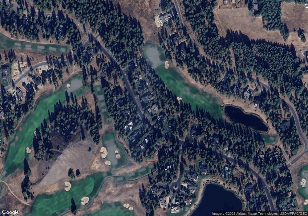
Map
Nearby Homes
- 571 Richards Rd
- 1481 Coal Mine Way
- 1561 Coal Mine Way
- 221 Tipple Hill Loop
- 301 Tipple Hill Loop
- 70 Monabel Ct
- 950 Coal Mine Way
- 930 Coal Mine Way
- 2040 Coal Mine Way
- 240 Monabel Ct
- 2101 Coal Mine Way
- 722 S A St
- 706 S A St
- 602 S 1st St
- 100 Black Nugget Ln
- 262 Black Nugget Ln
- 313 S 2nd St
- 420 Black Nugget Ln
- 530 Spragger Way
- 206 W Montana Ave
- 1540 Coal Mine Way
- 1460 Coal Mine Way
- 1570 Coal Mine Way
- 1420 Coal Mine Way
- 1511 Coal Mine Way
- 1531 Coal Mine Way
- 1600 Coal Mine Way
- 1461 Coal Mine Way
- 1431 Coal Mine Way
- 31 Jellabel Ct
- 1360 Coal Mine Way
- 1630 Coal Mine Way
- 1631 Coal Mine Way
- 1330 Coal Mine Way
- 1660 Coal Mine Way
- 61 Jellabel Ct
- 581 Steam Gin Loop
- 1331 Coal Mine Way
- 111 Jellabel Ct
- 1690 Coal Mine Way