Estimated Value: $375,911 - $414,000
4
Beds
3
Baths
2,168
Sq Ft
$182/Sq Ft
Est. Value
About This Home
This home is located at 1500 Dairy Farm Rd, Muncy, PA 17756 and is currently estimated at $393,978, approximately $181 per square foot. 1500 Dairy Farm Rd is a home located in Lycoming County with nearby schools including Hughesville Junior/Senior High School.
Ownership History
Date
Name
Owned For
Owner Type
Purchase Details
Closed on
Aug 3, 2007
Sold by
Snyder John F and Snyder Linda G
Bought by
Snyder Brian L and Snyder Jessica R
Current Estimated Value
Home Financials for this Owner
Home Financials are based on the most recent Mortgage that was taken out on this home.
Original Mortgage
$180,000
Outstanding Balance
$113,031
Interest Rate
6.5%
Mortgage Type
Adjustable Rate Mortgage/ARM
Estimated Equity
$280,947
Create a Home Valuation Report for This Property
The Home Valuation Report is an in-depth analysis detailing your home's value as well as a comparison with similar homes in the area
Home Values in the Area
Average Home Value in this Area
Purchase History
| Date | Buyer | Sale Price | Title Company |
|---|---|---|---|
| Snyder Brian L | -- | None Available |
Source: Public Records
Mortgage History
| Date | Status | Borrower | Loan Amount |
|---|---|---|---|
| Open | Snyder Brian L | $180,000 |
Source: Public Records
Tax History Compared to Growth
Tax History
| Year | Tax Paid | Tax Assessment Tax Assessment Total Assessment is a certain percentage of the fair market value that is determined by local assessors to be the total taxable value of land and additions on the property. | Land | Improvement |
|---|---|---|---|---|
| 2025 | $5,245 | $201,730 | $32,360 | $169,370 |
| 2024 | $5,180 | $201,730 | $32,360 | $169,370 |
| 2023 | $5,029 | $201,730 | $32,360 | $169,370 |
| 2022 | $4,864 | $201,730 | $32,360 | $169,370 |
| 2021 | $4,727 | $201,730 | $32,360 | $169,370 |
| 2020 | $4,702 | $201,730 | $32,360 | $169,370 |
| 2019 | $4,466 | $201,730 | $32,360 | $169,370 |
| 2018 | $4,240 | $201,730 | $32,360 | $169,370 |
| 2017 | $4,000 | $201,730 | $32,360 | $169,370 |
| 2016 | $3,837 | $201,730 | $32,360 | $169,370 |
| 2015 | $3,837 | $201,730 | $32,360 | $169,370 |
Source: Public Records
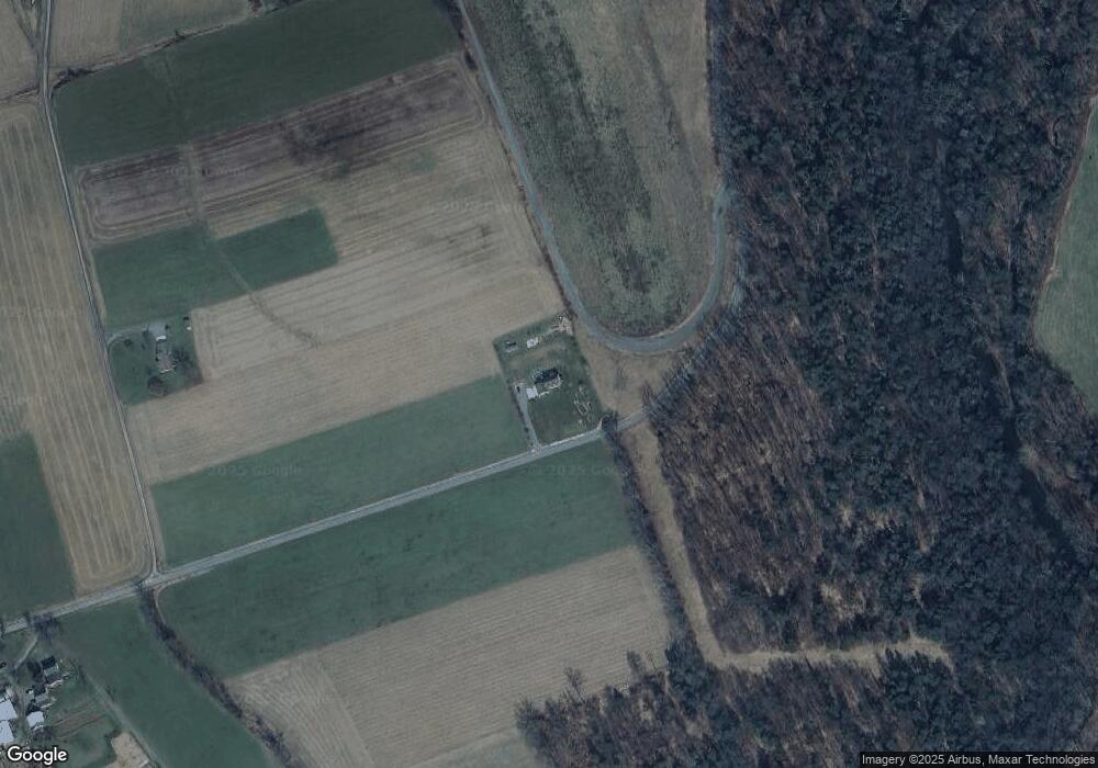
Map
Nearby Homes
- 0 Mccoy Rd
- PARCEL 141 Mccoy Rd
- 1162 Cemetery Rd
- 720 Sones Rd
- 0 Neufer Hollow Rd
- 4435 Moreland Baptist Rd
- 40 Hunter Dr
- 00 Dark Hollow Rd
- 0 Gordner Church Rd
- 41 Gregg Run Rd
- 53 Airport Rd
- 2152 Clarkstown Rd
- 202 Pennsylvania 118
- 11 Fetter Dr
- 1092 Beaver Lake Rd
- 172 S 4th St
- 158 S 4th St
- 312 Broadway St
- 181B Katys Church Rd
- 147 S Main St
- 807 Stahlnecker Rd
- 1721 Dairy Farm Rd
- 212 Covered Bridge Rd
- 368 Stahlnecker Rd
- 325 Stahlnecker Rd
- 285 Stahlnecker Rd
- 292 Stahlnecker Rd
- 552 Tescier Rd
- 237 Stahlnecker Rd
- 779 Tome Rd
- 162 Stahlnecker Rd
- 127 Stahlnecker Rd
- 144 Green Ln
- 670 Dairy Farm Rd
- 112 Stahlnecker Rd
- 328 Moreland Township Rd
- 155 Moreland Township Rd
- 1701 Wallis Rd
- 33 Moreland Road Extension
- 130 Moreland Township Rd