1500 E Murden St Kokomo, IN 46901
--
Bed
--
Bath
244,746
Sq Ft
37.62
Acres
About This Home
This home is located at 1500 E Murden St, Kokomo, IN 46901. 1500 E Murden St is a home located in Howard County with nearby schools including Elwood Haynes Elementary School, Maple Crest Middle School, and Kokomo High School.
Ownership History
Date
Name
Owned For
Owner Type
Purchase Details
Closed on
Sep 20, 2024
Sold by
Ppg Industries Inc
Bought by
Prime Space Warehousing And Logistics Llc
Home Financials for this Owner
Home Financials are based on the most recent Mortgage that was taken out on this home.
Original Mortgage
$2,400,000
Outstanding Balance
$2,339,424
Interest Rate
6.49%
Mortgage Type
New Conventional
Create a Home Valuation Report for This Property
The Home Valuation Report is an in-depth analysis detailing your home's value as well as a comparison with similar homes in the area
Home Values in the Area
Average Home Value in this Area
Purchase History
| Date | Buyer | Sale Price | Title Company |
|---|---|---|---|
| Prime Space Warehousing And Logistics Llc | -- | None Listed On Document | |
| Prime Space Warehousing And Logistics Llc | -- | None Listed On Document |
Source: Public Records
Mortgage History
| Date | Status | Borrower | Loan Amount |
|---|---|---|---|
| Open | Prime Space Warehousing And Logistics Llc | $2,400,000 | |
| Closed | Prime Space Warehousing And Logistics Llc | $2,400,000 |
Source: Public Records
Tax History Compared to Growth
Tax History
| Year | Tax Paid | Tax Assessment Tax Assessment Total Assessment is a certain percentage of the fair market value that is determined by local assessors to be the total taxable value of land and additions on the property. | Land | Improvement |
|---|---|---|---|---|
| 2024 | $62,142 | $2,416,500 | $484,000 | $1,932,500 |
| 2023 | $62,142 | $2,071,400 | $556,500 | $1,514,900 |
| 2022 | $57,960 | $1,932,000 | $556,500 | $1,375,500 |
| 2021 | $53,988 | $1,799,600 | $556,500 | $1,243,100 |
| 2020 | $52,533 | $1,751,100 | $556,500 | $1,194,600 |
| 2019 | $52,533 | $1,751,100 | $556,500 | $1,194,600 |
| 2018 | $50,946 | $1,698,200 | $556,500 | $1,141,700 |
| 2017 | $49,839 | $1,661,300 | $556,500 | $1,104,800 |
| 2016 | $49,811 | $1,661,300 | $556,500 | $1,104,800 |
| 2014 | $46,764 | $1,558,800 | $556,500 | $1,002,300 |
| 2013 | $45,072 | $1,502,400 | $556,500 | $945,900 |
Source: Public Records
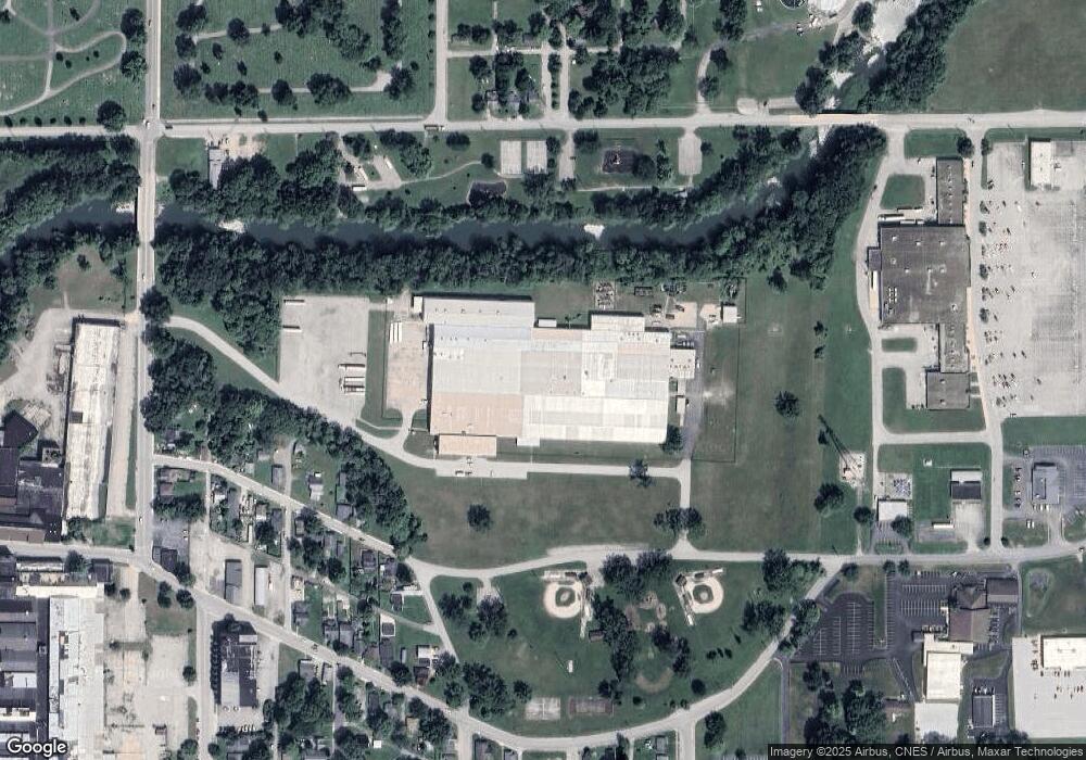
Map
Nearby Homes
- 1312 E Vaile Ave
- 807 S Waugh St
- 1400 E Mulberry St
- 1128 S Elizabeth St
- 818 E Buckley St
- 920 E Walnut St
- 820 E Sycamore St
- 1110 E Taylor St
- 615 E Sycamore St
- 1237 S Cooper St
- 717 E Mulberry St
- 734 S Bell St
- 1142 E Jefferson St
- 1441 E Monroe St
- 1207 S Delphos St
- 404 E Vaile Ave
- 1038 S Purdum St
- 1220 Meadowbrook Dr
- 1032 S Bell St
- 1304 Imperial Dr
- 1322 E Murden St
- 1320 E Murden St
- 1304 E Murden St
- 1323 E Murden St
- 1416 E Carter St
- 1422 E Carter St
- 1321 E Murden St
- 1232 E Murden St
- 1309 E Murden St
- 1315 E Murden St
- 1420 E Carter St
- 1303 E Murden St
- 1230 E Murden St
- 1305 E Murden St
- 1233 E Murden St
- 1222 E Murden St
- 1209 E Murden St
- 1218 E Murden St
- 1408 E Vaile Ave
- 1308 E Vaile Ave