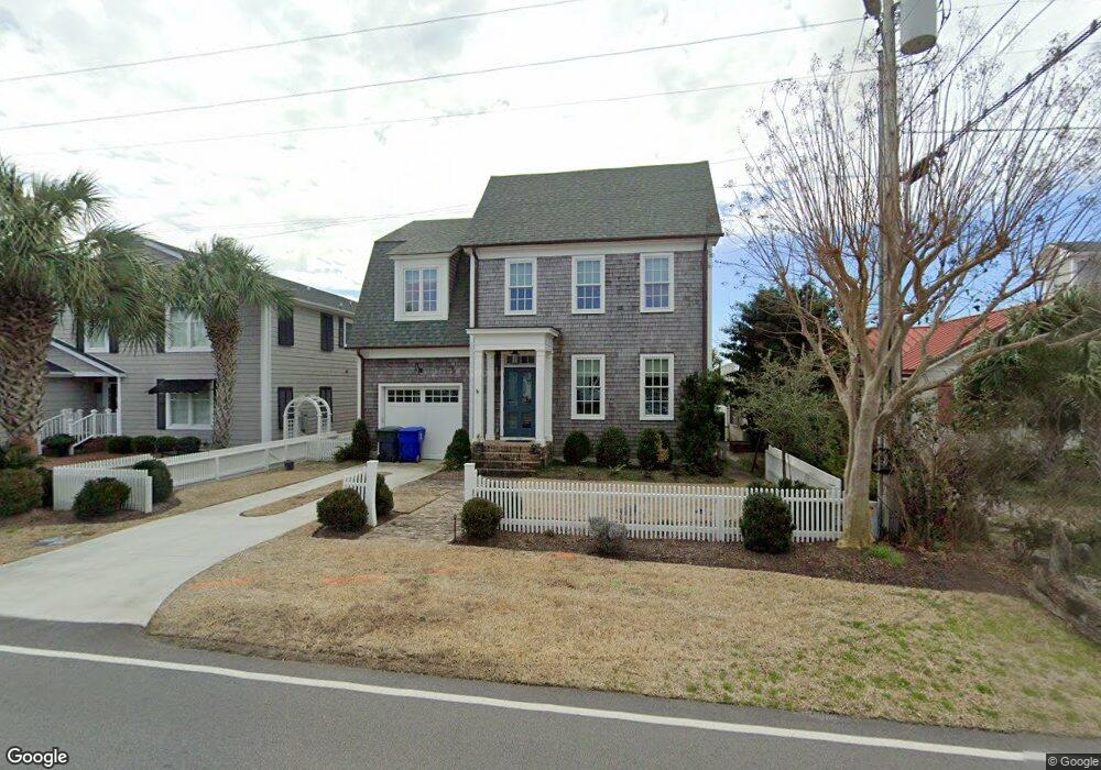
1500 Front St Beaufort, NC 28516
Estimated Value: $1,946,000 - $3,112,000
5
Beds
8
Baths
4,870
Sq Ft
$525/Sq Ft
Est. Value
About This Home
This home is located at 1500 Front St, Beaufort, NC 28516 and is currently estimated at $2,555,085, approximately $524 per square foot. 1500 Front St is a home located in Carteret County with nearby schools including Beaufort Elementary School, Beaufort Middle School, and East Carteret High School.
Ownership History
Date
Name
Owned For
Owner Type
Purchase Details
Closed on
Sep 10, 2007
Sold by
Pulley W Paul and Pulley Joan H
Bought by
Wiley James K and Wiley Sharon B
Current Estimated Value
Home Financials for this Owner
Home Financials are based on the most recent Mortgage that was taken out on this home.
Original Mortgage
$1,423,750
Outstanding Balance
$905,111
Interest Rate
6.65%
Mortgage Type
Purchase Money Mortgage
Estimated Equity
$1,649,974
Create a Home Valuation Report for This Property
The Home Valuation Report is an in-depth analysis detailing your home's value as well as a comparison with similar homes in the area
Home Values in the Area
Average Home Value in this Area
Purchase History
| Date | Buyer | Sale Price | Title Company |
|---|---|---|---|
| Wiley James K | $1,790,000 | None Available |
Source: Public Records
Mortgage History
| Date | Status | Borrower | Loan Amount |
|---|---|---|---|
| Open | Wiley James K | $1,423,750 |
Source: Public Records
Tax History
| Year | Tax Paid | Tax Assessment Tax Assessment Total Assessment is a certain percentage of the fair market value that is determined by local assessors to be the total taxable value of land and additions on the property. | Land | Improvement |
|---|---|---|---|---|
| 2025 | $13,336 | $2,359,955 | $785,730 | $1,574,225 |
| 2024 | $12,064 | $1,384,406 | $564,375 | $820,031 |
| 2023 | $11,969 | $1,384,406 | $564,375 | $820,031 |
| 2022 | $11,830 | $1,384,406 | $564,375 | $820,031 |
| 2021 | $11,830 | $1,384,406 | $564,375 | $820,031 |
| 2020 | $8,155 | $952,026 | $564,375 | $387,651 |
| 2019 | $3,706 | $438,943 | $295,625 | $143,318 |
| 2017 | $4,430 | $576,524 | $295,625 | $280,899 |
| 2016 | $4,171 | $576,524 | $295,625 | $280,899 |
| 2015 | $4,113 | $576,524 | $295,625 | $280,899 |
| 2014 | $5,169 | $757,888 | $479,870 | $278,018 |
Source: Public Records
Map
Nearby Homes
- 1312 Ann St Unit 5
- 1524 Ann St
- 103 Laurel Ln
- 770 Laurel Ln
- 1011 Front St Unit 3A
- 116 Willow St
- 163 Freedom Park Rd
- 102 Freedom Park Rd
- 105 Blue Bill Way
- 118 Blue Bill Way
- 805 Mulberry St Unit 104
- 805 Mulberry St Unit 105
- 805 Mulberry St Unit 204
- 805 Mulberry St Unit 101
- 805 Mulberry St Unit 203
- 805 Mulberry St Unit 201
- 805 Mulberry St Unit 202
- 805 Mulberry St Unit 102
- 104 A Chestnut Dr
- 104 Chestnut Dr
- 1502 Front St
- 1410 Front St
- 1504 Front St
- 1408 Front St
- 0 Front St Unit 10803552
- 1317 Front St
- 1315 Front St
- 0 Front St Unit 6 11104599
- 0 Front St Unit 6
- 1506 Front St
- 1406 Front St
- 1404 Front St
- 1508 Front St
- 1409 Front St
- 1501 Front St
- 1503 Front St
- 1505 Front St
- 1407 Front St
- 1510 Front St
- 1507 Front St
Your Personal Tour Guide
Ask me questions while you tour the home.