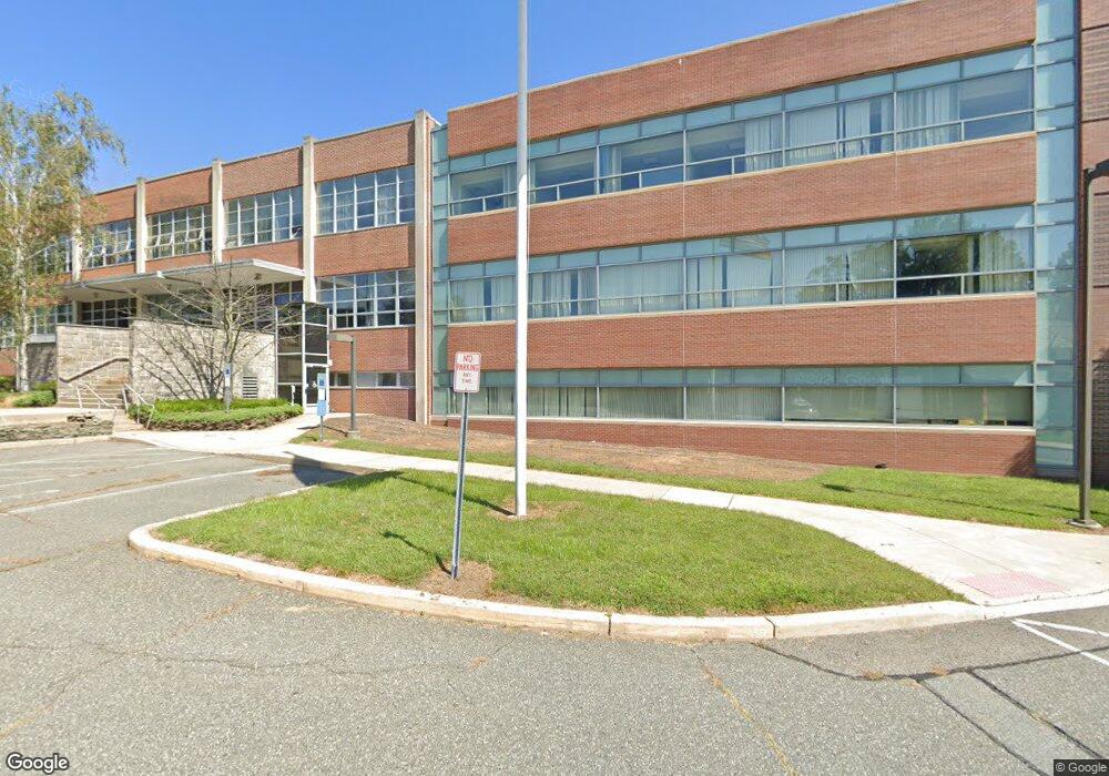
1500 Littleton Rd Morris Plains, NJ 07950
Estimated Value: $12,825,784
--
Bed
--
Bath
191,774
Sq Ft
$67/Sq Ft
Est. Value
About This Home
This home is located at 1500 Littleton Rd, Morris Plains, NJ 07950 and is currently estimated at $12,825,784, approximately $66 per square foot. 1500 Littleton Rd is a home with nearby schools including Littleton Elementary School, Brooklawn Middle School, and Parsippany Hills High School.
Ownership History
Date
Name
Owned For
Owner Type
Purchase Details
Closed on
Oct 6, 2017
Sold by
Glaxosmithkline Consumer Healthcare Hold
Bought by
Parsippany Littleon Llc
Current Estimated Value
Purchase Details
Closed on
Mar 2, 2015
Sold by
Glaxosmithkline Llc
Bought by
Glaxosmithkline Consumer Healthcare Hold
Create a Home Valuation Report for This Property
The Home Valuation Report is an in-depth analysis detailing your home's value as well as a comparison with similar homes in the area
Home Values in the Area
Average Home Value in this Area
Purchase History
| Date | Buyer | Sale Price | Title Company |
|---|---|---|---|
| Parsippany Littleon Llc | $8,500,000 | Professional Abstract | |
| Glaxosmithkline Consumer Healthcare Hold | $9,700,000 | Stewart Title Co New Jer |
Source: Public Records
Tax History Compared to Growth
Tax History
| Year | Tax Paid | Tax Assessment Tax Assessment Total Assessment is a certain percentage of the fair market value that is determined by local assessors to be the total taxable value of land and additions on the property. | Land | Improvement |
|---|---|---|---|---|
| 2025 | $249,760 | $7,189,400 | $7,089,400 | $100,000 |
| 2024 | $255,239 | $7,189,400 | $7,089,400 | $100,000 |
| 2023 | $255,239 | $7,489,400 | $7,089,400 | $400,000 |
| 2022 | $239,436 | $7,489,400 | $7,089,400 | $400,000 |
| 2021 | $239,436 | $7,550,800 | $4,785,000 | $2,765,800 |
| 2020 | $248,287 | $8,050,800 | $4,785,000 | $3,265,800 |
| 2019 | $301,625 | $10,050,800 | $5,785,000 | $4,265,800 |
| 2018 | $447,629 | $15,350,800 | $5,785,000 | $9,565,800 |
| 2017 | $659,724 | $23,148,200 | $10,435,000 | $12,713,200 |
| 2016 | $648,381 | $23,148,200 | $10,435,000 | $12,713,200 |
| 2015 | $631,946 | $23,148,200 | $10,435,000 | $12,713,200 |
| 2014 | $622,687 | $22,148,800 | $10,435,000 | $11,713,800 |
Source: Public Records
Map
Nearby Homes
- 9 Craydon St
- 35 Ferncliff Rd
- 91 Farmingdale Dr
- 21 Holly Dr
- 1035 Littleton Rd
- 62 Brookstone Cir
- 10 Buena Rd
- 2 A Foxwood Dr Unit A
- 22 A Foxwood Dr Unit A
- 21 Dolly Dr
- 7 J Foxwood Dr Unit J
- 7 D Foxwood Dr Unit D
- 2350 State Route 10 Unit D11
- Route 10 E E Route 10 Unit 48 1B
- 417 Allentown Rd
- 206 Atlantic Dr
- 2467 Route 10 Unit 4A
- 14 Braemar Ct
- 59 Kingston Rd
- 2467 New Jersey 10 Unit 6A