1500 Robin Cir Unit 214 Hoffman Estates, IL 60169
South Hoffman Estates NeighborhoodEstimated Value: $134,360 - $158,000
1
Bed
--
Bath
800
Sq Ft
$183/Sq Ft
Est. Value
About This Home
This home is located at 1500 Robin Cir Unit 214, Hoffman Estates, IL 60169 and is currently estimated at $146,340, approximately $182 per square foot. 1500 Robin Cir Unit 214 is a home located in Cook County with nearby schools including Neil Armstrong Elementary School, Dwight D Eisenhower Junior High School, and Hoffman Estates High School.
Ownership History
Date
Name
Owned For
Owner Type
Purchase Details
Closed on
Jan 4, 2019
Sold by
Koleva Magdalena
Bought by
Mirchef Nicolay
Current Estimated Value
Purchase Details
Closed on
Nov 19, 1997
Sold by
Stehle Joseph R
Bought by
Koleva Magdalena
Home Financials for this Owner
Home Financials are based on the most recent Mortgage that was taken out on this home.
Original Mortgage
$36,000
Interest Rate
7.46%
Create a Home Valuation Report for This Property
The Home Valuation Report is an in-depth analysis detailing your home's value as well as a comparison with similar homes in the area
Home Values in the Area
Average Home Value in this Area
Purchase History
| Date | Buyer | Sale Price | Title Company |
|---|---|---|---|
| Mirchef Nicolay | -- | Attorney | |
| Koleva Magdalena | $45,000 | -- |
Source: Public Records
Mortgage History
| Date | Status | Borrower | Loan Amount |
|---|---|---|---|
| Previous Owner | Koleva Magdalena | $36,000 |
Source: Public Records
Tax History Compared to Growth
Tax History
| Year | Tax Paid | Tax Assessment Tax Assessment Total Assessment is a certain percentage of the fair market value that is determined by local assessors to be the total taxable value of land and additions on the property. | Land | Improvement |
|---|---|---|---|---|
| 2024 | -- | $6,921 | $232 | $6,689 |
| 2023 | -- | $6,921 | $232 | $6,689 |
| 2022 | $0 | $6,921 | $232 | $6,689 |
| 2021 | $1,504 | $5,536 | $365 | $5,171 |
| 2020 | $1,504 | $5,536 | $365 | $5,171 |
| 2019 | $0 | $6,182 | $365 | $5,817 |
| 2018 | $0 | $4,695 | $318 | $4,377 |
| 2017 | $1,504 | $4,695 | $318 | $4,377 |
| 2016 | $123 | $4,695 | $318 | $4,377 |
| 2015 | $469 | $5,970 | $278 | $5,692 |
| 2014 | $451 | $5,970 | $278 | $5,692 |
| 2013 | $450 | $5,970 | $278 | $5,692 |
Source: Public Records
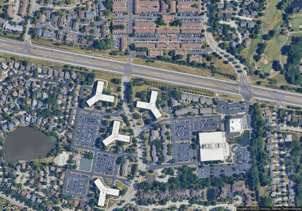
Map
Nearby Homes
- 1375 Rebecca Dr Unit 318
- 1375 Rebecca Dr Unit 213
- 1808 Fayette Walk Unit H
- 1800 Fayette Walk Unit E
- 1704 Fayette Walk Unit B
- 1712 Fayette Walk Unit D
- 1415 N Oakmont Rd
- 1612 Islandview Ct
- 1800 Huntington Blvd Unit AE615
- 1800 Huntington Blvd Unit AE212
- 1840 Huntington Blvd Unit 412
- 1840 Huntington Blvd Unit 415
- 1698 Pebble Beach Dr
- 1764 Pebble Beach Dr Unit 1
- 1795 Marquette Ln Unit 5601
- 1685 Cornell Dr
- 1672 Cornell Dr
- 1121 Southbridge Ln
- 1365 Blair Ln
- 1874 Wellington Place
- 1500 Robin Cir Unit 320
- 1500 Robin Cir Unit 405
- 1500 Robin Cir Unit 107
- 1500 Robin Cir Unit 220
- 1500 Robin Cir Unit 412
- 1500 Robin Cir Unit 402
- 1500 Robin Cir Unit 307
- 1500 Robin Cir Unit 306
- 1500 Robin Cir Unit 216
- 1500 Robin Cir Unit 212
- 1500 Robin Cir Unit 206
- 1500 Robin Cir Unit 205
- 1500 Robin Cir Unit 203
- 1500 Robin Cir Unit 111
- 1500 Robin Cir Unit 301
- 1500 Robin Cir Unit 404
- 1500 Robin Cir Unit 403
- 1500 Robin Cir Unit 317
- 1500 Robin Cir Unit 202
- 1500 Robin Cir Unit 413