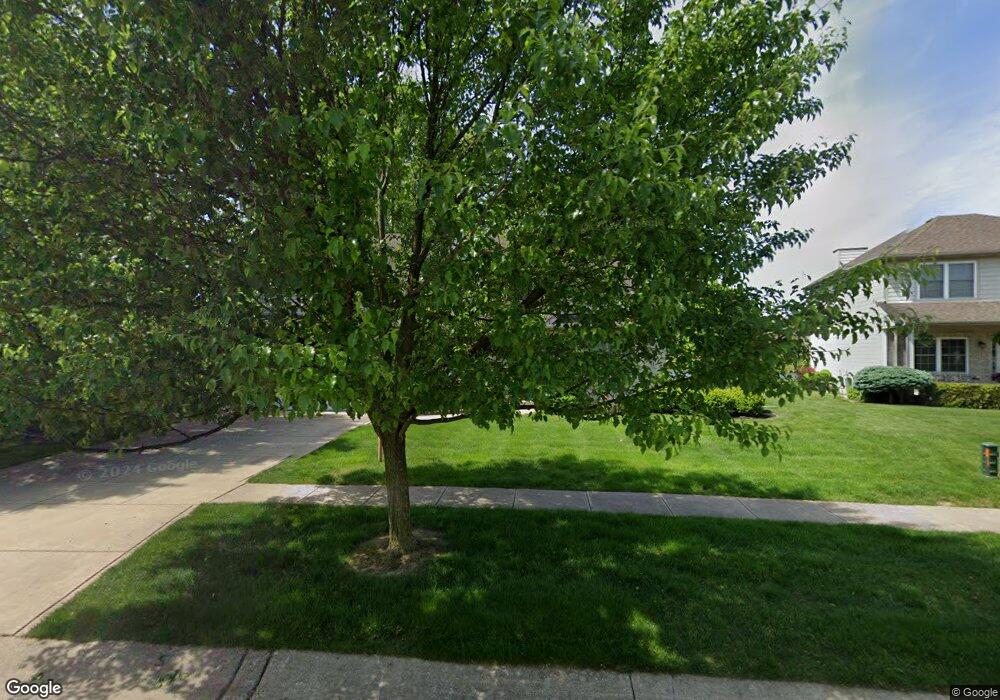
1500 Sandwedge Cir Chesterton, IN 46304
Estimated Value: $380,000 - $436,000
3
Beds
3
Baths
2,356
Sq Ft
$169/Sq Ft
Est. Value
About This Home
This home is located at 1500 Sandwedge Cir, Chesterton, IN 46304 and is currently estimated at $398,360, approximately $169 per square foot. 1500 Sandwedge Cir is a home located in Porter County with nearby schools including Westchester Intermediate School, Newton Yost Elementary School, and Chesterton Middle School.
Ownership History
Date
Name
Owned For
Owner Type
Purchase Details
Closed on
Mar 4, 2005
Sold by
Midwest Builders Llc
Bought by
Sebok George R and Sebok Pamela L
Current Estimated Value
Home Financials for this Owner
Home Financials are based on the most recent Mortgage that was taken out on this home.
Original Mortgage
$70,000
Interest Rate
5.7%
Mortgage Type
Fannie Mae Freddie Mac
Create a Home Valuation Report for This Property
The Home Valuation Report is an in-depth analysis detailing your home's value as well as a comparison with similar homes in the area
Home Values in the Area
Average Home Value in this Area
Purchase History
| Date | Buyer | Sale Price | Title Company |
|---|---|---|---|
| Sebok George R | -- | Chicago Title Insurance Comp |
Source: Public Records
Mortgage History
| Date | Status | Borrower | Loan Amount |
|---|---|---|---|
| Closed | Sebok George R | $70,000 |
Source: Public Records
Tax History Compared to Growth
Tax History
| Year | Tax Paid | Tax Assessment Tax Assessment Total Assessment is a certain percentage of the fair market value that is determined by local assessors to be the total taxable value of land and additions on the property. | Land | Improvement |
|---|---|---|---|---|
| 2024 | $3,916 | $368,600 | $55,600 | $313,000 |
| 2023 | $3,681 | $350,000 | $51,300 | $298,700 |
| 2022 | $3,661 | $325,900 | $51,300 | $274,600 |
| 2021 | $3,384 | $299,900 | $51,300 | $248,600 |
| 2020 | $3,056 | $271,800 | $46,900 | $224,900 |
| 2019 | $3,085 | $274,400 | $46,900 | $227,500 |
| 2018 | $2,811 | $250,400 | $46,900 | $203,500 |
| 2017 | $2,827 | $251,800 | $46,900 | $204,900 |
| 2016 | $2,857 | $254,400 | $46,800 | $207,600 |
| 2014 | $2,717 | $244,400 | $44,300 | $200,100 |
| 2013 | -- | $231,900 | $44,600 | $187,300 |
Source: Public Records
Map
Nearby Homes
- 1083 Pearson Rd
- 2500 Pradera Trail
- 2420 Pradera Trail
- 2302 Texas St
- 2179 W 1100 N
- The Willow Plan at The 1100 Woods
- The Revere Plan at The 1100 Woods
- The Prescott Plan at The 1100 Woods
- The Madeleine Plan at The 1100 Woods
- The Gloria Plan at The 1100 Woods
- The Chestnut Plan at The 1100 Woods
- The Cedar Creek Plan at The 1100 Woods
- The Carmichael Plan at The 1100 Woods
- The Basset Grove Plan at The 1100 Woods
- The Avalon Plan at The 1100 Woods
- The Aspen Plan at The 1100 Woods
- 2299 Pradera Trail
- 2382 Dakota St
- 2218 Pradera Trail
- 2166 Pradera Trail
- 1520 Sand Wedge Cir
- 1490 Sandwedge Cir
- 1520 Sandwedge Cir
- 1490 Sand Wedge Cir Unit 56
- 1530 Sandwedge Cir
- 1480 Sand Wedge Cir
- 1480 Sandwedge Cir
- 1511 Sand Wedge Cir
- 1511 Sandwedge Cir
- 1491 Sandwedge Cir
- 1540 Sandwedge Cir
- 1540 Sand Wedge Cir
- 1521 Sandwedge Cir
- 2611 Bogey Blvd
- 2620 Dogleg Dr
- 2610 Dogleg Dr
- 2591 Bogey Blvd
- 2640 Dogleg Dr
- 2631 Bogey Blvd
- 2600 Dogleg Dr