1500 Silverado Dr Weatherford, TX 76087
Estimated Value: $1,086,105 - $1,225,000
--
Bed
--
Bath
3,135
Sq Ft
$371/Sq Ft
Est. Value
About This Home
This home is located at 1500 Silverado Dr, Weatherford, TX 76087 and is currently estimated at $1,164,368, approximately $371 per square foot. 1500 Silverado Dr is a home with nearby schools including Austin Elementary School, Hall Middle School, and Weatherford High School.
Ownership History
Date
Name
Owned For
Owner Type
Purchase Details
Closed on
Feb 5, 2016
Sold by
Slick Rock Lp
Bought by
Plowman Todd and Plowman Colleen
Current Estimated Value
Purchase Details
Closed on
Dec 21, 2012
Sold by
Williams R Dean Irrevocable Trust
Bought by
Plowman Todd and Plowman Colleen
Purchase Details
Closed on
Apr 28, 2006
Bought by
Plowman Todd and Plowman Colleen
Purchase Details
Closed on
Jan 1, 1901
Bought by
Plowman Todd and Plowman Colleen
Create a Home Valuation Report for This Property
The Home Valuation Report is an in-depth analysis detailing your home's value as well as a comparison with similar homes in the area
Home Values in the Area
Average Home Value in this Area
Purchase History
| Date | Buyer | Sale Price | Title Company |
|---|---|---|---|
| Plowman Todd | -- | Stewart | |
| Plowman Todd | -- | -- | |
| Plowman Todd | -- | -- | |
| Plowman Todd | -- | -- |
Source: Public Records
Tax History Compared to Growth
Tax History
| Year | Tax Paid | Tax Assessment Tax Assessment Total Assessment is a certain percentage of the fair market value that is determined by local assessors to be the total taxable value of land and additions on the property. | Land | Improvement |
|---|---|---|---|---|
| 2025 | $11,833 | $872,700 | -- | -- |
| 2024 | $11,833 | $793,364 | -- | -- |
| 2023 | $11,833 | $721,240 | $0 | $0 |
| 2022 | $12,193 | $783,460 | $30,000 | $753,460 |
| 2021 | $12,002 | $783,460 | $30,000 | $753,460 |
| 2020 | $10,964 | $541,880 | $20,000 | $521,880 |
| 2019 | $10,770 | $541,880 | $20,000 | $521,880 |
| 2018 | $9,877 | $454,060 | $20,000 | $434,060 |
| 2017 | $2,371 | $106,810 | $20,000 | $86,810 |
| 2016 | $11 | $103,250 | $0 | $0 |
| 2015 | $11 | $103,250 | $0 | $0 |
| 2014 | $9 | $103,250 | $0 | $0 |
Source: Public Records
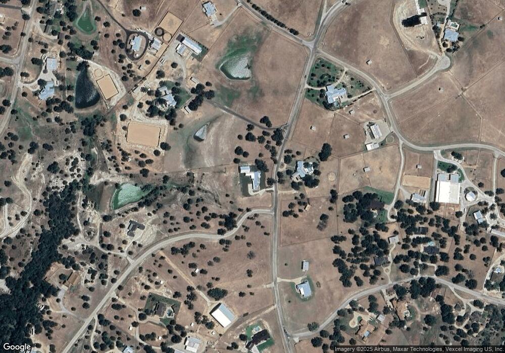
Map
Nearby Homes
- 1704 Silverado Dr
- TBD Cactus Rio
- 0 Cactus Rio Dr
- 657 Silver Spur Dr
- 736 Lands Way Rd
- 637 Lois Cir
- 288 S Ridgeoak Ct
- 391 Gina Cir
- 103 S River Oak Ct
- 299 S Ridgeoak Ct
- 362 S Ridgeoak Ct
- 105 Silver Saddle Cir
- TBD Eastmeadow Ln
- 116 Eastmeadow Ln
- 1082 River Ranch Ln
- 130 Atwood Rd
- TBD 000 Westmeadow Dr
- 367 Hillcroft Dr
- 344 Hillcroft Dr
- 1046 River Ranch Ln
- 1501 Silverado Dr
- 1601 Silverado Dr
- 140 Coleman Ln
- 1403 Silverado Dr
- 1410 Silverado Dr
- 300 Cactus Rio Dr
- 271 Yukon Ct
- Lot 7 Coleman Ct
- Lot 15 Coleman Ct
- 351 Cactus Rio Dr
- 201 Cutters Trail
- 240 Yukon Ct
- TBD Paintbrush Ct
- 285 Yukon Ct
- 272 Yukon Ct
- 0 Yukon Ct Unit 13528063
- 411 Cactus Rio Dr
- 414 Cactus Rio Dr
- 164 Coleman Ln
- 333 Silver Spur Dr