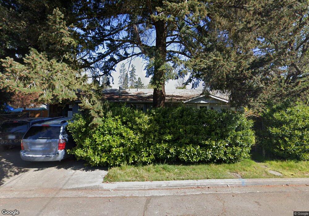
1500 SW I St Grants Pass, OR 97526
Estimated Value: $320,000 - $332,622
4
Beds
2
Baths
1,144
Sq Ft
$285/Sq Ft
Est. Value
About This Home
This home is located at 1500 SW I St, Grants Pass, OR 97526 and is currently estimated at $326,311, approximately $285 per square foot. 1500 SW I St is a home located in Josephine County with nearby schools including Parkside Elementary School, North Middle School, and Grants Pass High School.
Ownership History
Date
Name
Owned For
Owner Type
Purchase Details
Closed on
Aug 24, 2007
Sold by
Keybank Na
Bought by
Black Arnold and Black Carolan I
Current Estimated Value
Home Financials for this Owner
Home Financials are based on the most recent Mortgage that was taken out on this home.
Original Mortgage
$174,900
Outstanding Balance
$110,285
Interest Rate
6.67%
Mortgage Type
Purchase Money Mortgage
Estimated Equity
$216,026
Purchase Details
Closed on
Apr 16, 2007
Sold by
Addington Chris and Addington Tracy L
Bought by
Keybank Na
Create a Home Valuation Report for This Property
The Home Valuation Report is an in-depth analysis detailing your home's value as well as a comparison with similar homes in the area
Home Values in the Area
Average Home Value in this Area
Purchase History
| Date | Buyer | Sale Price | Title Company |
|---|---|---|---|
| Black Arnold | $174,900 | Fidelity Natl Title Co Of Or | |
| Keybank Na | $191,000 | Ticor Title |
Source: Public Records
Mortgage History
| Date | Status | Borrower | Loan Amount |
|---|---|---|---|
| Open | Black Arnold | $174,900 |
Source: Public Records
Tax History Compared to Growth
Tax History
| Year | Tax Paid | Tax Assessment Tax Assessment Total Assessment is a certain percentage of the fair market value that is determined by local assessors to be the total taxable value of land and additions on the property. | Land | Improvement |
|---|---|---|---|---|
| 2025 | $2,087 | $160,690 | -- | -- |
| 2024 | $2,087 | $156,010 | -- | -- |
| 2023 | $1,965 | $151,470 | $0 | $0 |
| 2022 | $1,975 | $147,060 | -- | -- |
| 2021 | $1,855 | $142,780 | $0 | $0 |
| 2020 | $1,801 | $138,630 | $0 | $0 |
| 2019 | $1,749 | $134,600 | $0 | $0 |
| 2018 | $1,780 | $130,680 | $0 | $0 |
| 2017 | $1,767 | $126,880 | $0 | $0 |
| 2016 | $1,553 | $123,190 | $0 | $0 |
| 2015 | $1,497 | $119,610 | $0 | $0 |
| 2014 | $1,454 | $116,130 | $0 | $0 |
Source: Public Records
Map
Nearby Homes
- 225 SW Westholm Ave
- 1613 SW I St
- 3487 SW Leonard St
- 47 SW Eastern Ave Unit 8
- 1901 SW G St
- 1019 SW J St
- 1011 SW I St
- 1535 SW Foundry St
- 1719 SW Bridge St
- 1013 SW L St
- 927 SW L St
- 207 SW Oak St
- 1308 NW F St
- 1634 NW F St
- 142 NW Crest Dr Unit 403
- 1126 SW Cottonwood St
- 1990 SW Betty Ln
- 1986 SW Betty Ln
- 205 SW Booth St
- 575 SW G St
- 230 SW Wildwood Ave
- 220 SW Wildwood Ave
- 237 SW Westholm Ave
- 235 SW Westholm Ave
- 1505 SW I St
- 1509 SW I St
- 402 SW Wildwood Ave
- 1515 SW I St
- 1605 SW I St
- 223 SW Westholm Ave
- 216 SW Wildwood Ave
- 407 SW Westholm Ave
- 414 SW Wildwood Ave
- 213 SW Westholm Ave
- 210 SW Wildwood Ave
- 415 SW Wildwood Ave
- 238 SW Westholm Ave
- 417 SW Westholm Ave
- 418 SW Wildwood Ave
- 222 SW Westholm Ave