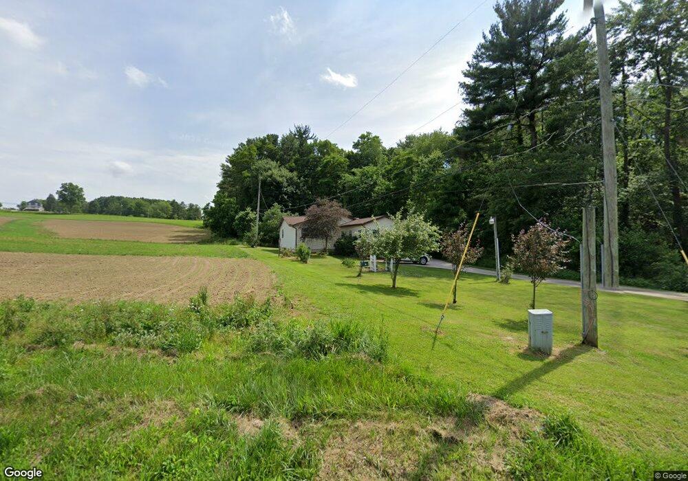
15003 Moine Rd Doylestown, OH 44230
Estimated Value: $211,368 - $243,000
3
Beds
2
Baths
1,335
Sq Ft
$169/Sq Ft
Est. Value
About This Home
This home is located at 15003 Moine Rd, Doylestown, OH 44230 and is currently estimated at $225,092, approximately $168 per square foot. 15003 Moine Rd is a home located in Wayne County with nearby schools including Hazel Harvey Elementary School, Chippewa Intermediate School, and Chippewa Jr./Sr. High School.
Ownership History
Date
Name
Owned For
Owner Type
Purchase Details
Closed on
Sep 30, 2003
Sold by
Barnes Cathy A
Bought by
Mckinnon William A
Current Estimated Value
Home Financials for this Owner
Home Financials are based on the most recent Mortgage that was taken out on this home.
Original Mortgage
$86,000
Interest Rate
6.4%
Mortgage Type
Unknown
Purchase Details
Closed on
Feb 26, 1990
Sold by
Deangelis Anthony K and Deangelis Jon
Bought by
Barnes Lawrence
Create a Home Valuation Report for This Property
The Home Valuation Report is an in-depth analysis detailing your home's value as well as a comparison with similar homes in the area
Home Values in the Area
Average Home Value in this Area
Purchase History
| Date | Buyer | Sale Price | Title Company |
|---|---|---|---|
| Mckinnon William A | $107,500 | -- | |
| Barnes Lawrence | $60,500 | -- |
Source: Public Records
Mortgage History
| Date | Status | Borrower | Loan Amount |
|---|---|---|---|
| Previous Owner | Mckinnon William A | $86,000 | |
| Closed | Mckinnon William A | $10,750 |
Source: Public Records
Tax History
| Year | Tax Paid | Tax Assessment Tax Assessment Total Assessment is a certain percentage of the fair market value that is determined by local assessors to be the total taxable value of land and additions on the property. | Land | Improvement |
|---|---|---|---|---|
| 2024 | $1,452 | $51,470 | $10,960 | $40,510 |
| 2023 | $1,452 | $51,470 | $10,960 | $40,510 |
| 2022 | $1,006 | $35,250 | $7,500 | $27,750 |
| 2021 | $1,013 | $35,250 | $7,500 | $27,750 |
| 2020 | $1,022 | $35,250 | $7,500 | $27,750 |
| 2019 | $934 | $32,170 | $7,210 | $24,960 |
| 2018 | $943 | $32,170 | $7,210 | $24,960 |
| 2017 | $872 | $32,170 | $7,210 | $24,960 |
| 2016 | $813 | $28,840 | $6,930 | $21,910 |
| 2015 | $809 | $28,840 | $6,930 | $21,910 |
| 2014 | $711 | $28,840 | $6,930 | $21,910 |
| 2013 | $992 | $27,240 | $6,510 | $20,730 |
Source: Public Records
Map
Nearby Homes
- 12249 Whitman Rd
- 0 S Portage St
- 0 Akron Rd Unit 5123781
- 15899 Mccallum Dr
- TBD Coal Bank Rd
- 93 Cleveland Ave
- 500 W Clinton St
- 46 Hidden Pond Dr
- 288 E Clinton St
- 15500 Freedom Dr
- 12045 Coal Bank Rd
- 325 Catawba Path
- 436 N Portage St
- 100 Merlot Ct
- 497 Gates St
- 680 Thorn Way
- 620 Thorn Way
- 580 Thorn Way
- 12160 Harvey Cir
- V/L approx 67.56ac Gates St
- V/L Moine Rd
- 14960 Moine Rd
- 14933 Moine Rd
- 13100 Portage St
- 13092 Portage St
- 20 Serfass Rd
- 999 Serfass Rd
- 22 Serfass Rd
- 21 Serfass Rd
- 14867 Moine Rd
- V/L 2 Moine Rd
- 13107 Portage St
- 13139 S Portage St
- 15261 Moine Rd
- 13084 Portage St
- 13095 Portage St
- 13171 S Portage St
- 13171 Portage St
- 13179 S Portage St
- 13089 Portage St
Your Personal Tour Guide
Ask me questions while you tour the home.