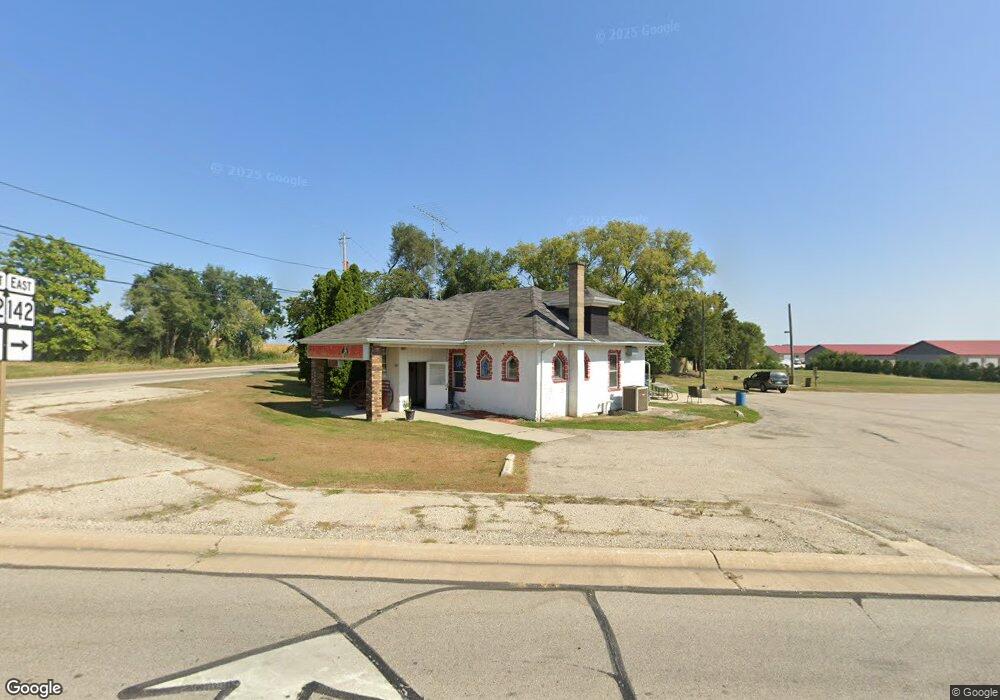
1501 200th Ave Union Grove, WI 53182
Estimated Value: $338,000 - $606,000
1
Bed
1
Bath
1,128
Sq Ft
$447/Sq Ft
Est. Value
About This Home
This home is located at 1501 200th Ave, Union Grove, WI 53182 and is currently estimated at $504,180, approximately $446 per square foot. 1501 200th Ave is a home located in Kenosha County with nearby schools including Paris Elementary School, Central High School, and All Saints Catholic School, West Campus.
Ownership History
Date
Name
Owned For
Owner Type
Purchase Details
Closed on
Feb 19, 2009
Sold by
Menarek Jay A and Menarek Laura K
Bought by
Mentek Ronald Bonnie
Current Estimated Value
Purchase Details
Closed on
Nov 13, 2007
Sold by
Esposito Billy C and Esposito Linda L
Bought by
Menarek Jay and Menarek Laura
Create a Home Valuation Report for This Property
The Home Valuation Report is an in-depth analysis detailing your home's value as well as a comparison with similar homes in the area
Home Values in the Area
Average Home Value in this Area
Purchase History
| Date | Buyer | Sale Price | Title Company |
|---|---|---|---|
| Mentek Ronald Bonnie | $440,000 | -- | |
| Menarek Jay | $430,000 | -- |
Source: Public Records
Tax History Compared to Growth
Tax History
| Year | Tax Paid | Tax Assessment Tax Assessment Total Assessment is a certain percentage of the fair market value that is determined by local assessors to be the total taxable value of land and additions on the property. | Land | Improvement |
|---|---|---|---|---|
| 2024 | $2,667 | $464,600 | $183,900 | $280,700 |
| 2023 | $2,877 | $464,600 | $183,900 | $280,700 |
| 2022 | $3,160 | $464,600 | $183,900 | $280,700 |
| 2021 | $3,316 | $464,600 | $183,900 | $280,700 |
| 2020 | $3,316 | $464,600 | $183,900 | $280,700 |
| 2019 | $4,198 | $418,600 | $152,300 | $266,300 |
| 2018 | $5,162 | $418,600 | $152,300 | $266,300 |
| 2017 | $4,653 | $418,600 | $152,300 | $266,300 |
| 2016 | $5,879 | $418,600 | $152,300 | $266,300 |
| 2015 | $5,402 | $418,600 | $152,300 | $266,300 |
| 2014 | -- | $418,600 | $152,300 | $266,300 |
Source: Public Records
Map
Nearby Homes
- 15500 7th St
- 20615 31st St
- 4410 200th Ave
- 2700 247th Ave
- 15500 7th St
- Lt0 Durand Ave
- 1206 15th Ave
- 406 Oakhurst Ave
- 1311 Highview Ave
- 1221 W Kiddle Ln
- 32.85 M/L Acres 12th St
- 1030 Main St
- 1027 Main St
- 1020 Main St
- 1041 Bluebird Ln
- 305 York St
- 319 York St Unit Lt64
- 290 Pheasant Run
- Lt7 10th Ave
- Lt5 10th Ave
- 19905 Burlington Rd
- 19813 Burlington Rd
- 20089 15th St
- 19807 Burlington Rd
- 1429 200th Ave
- 20100 15th St
- 1571 200th Ave
- 20113 15th St
- 1421 200th Ave
- 1424 200th Ave
- 20203 15th St
- 20207 15th St
- 19705 Burlington Rd
- 20307 15th St
- 19511 Burlington Rd
- 19417 Burlington Rd
- 20409 15th St
- 19405 Burlington Rd
- 1750 200th Ave
- 1301 200th Ave