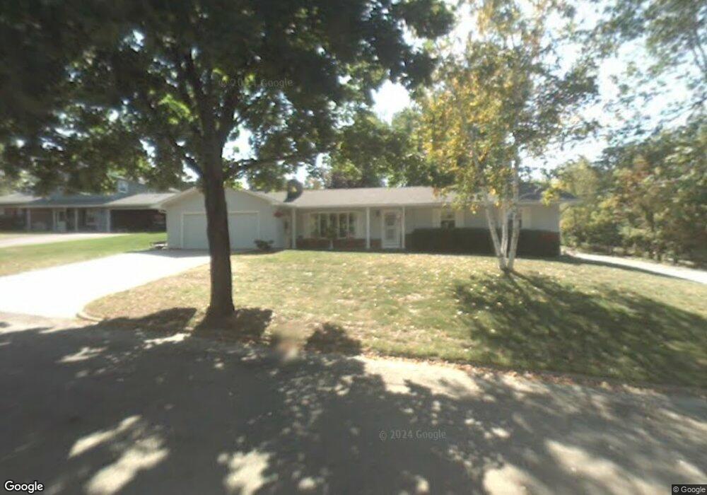
1501 Adams Ct Wausau, WI 54403
Estimated Value: $288,288 - $324,000
3
Beds
2
Baths
--
Sq Ft
0.29
Acres
About This Home
This home is located at 1501 Adams Ct, Wausau, WI 54403 and is currently estimated at $302,322. 1501 Adams Ct is a home located in Marathon County with nearby schools including Franklin Elementary School, Horace Mann Middle School, and East High School.
Ownership History
Date
Name
Owned For
Owner Type
Purchase Details
Closed on
Aug 28, 2009
Sold by
Landrath Dennis Ray and Landrath Carla A
Bought by
Landrath Dennis Ray and Landrath Carla Angeline
Current Estimated Value
Purchase Details
Closed on
Apr 15, 2005
Sold by
Biancardi Marjorie
Bought by
Schroeder Carla and Landrath Dennis
Home Financials for this Owner
Home Financials are based on the most recent Mortgage that was taken out on this home.
Original Mortgage
$195,000
Outstanding Balance
$101,346
Interest Rate
5.89%
Mortgage Type
Future Advance Clause Open End Mortgage
Estimated Equity
$200,976
Create a Home Valuation Report for This Property
The Home Valuation Report is an in-depth analysis detailing your home's value as well as a comparison with similar homes in the area
Home Values in the Area
Average Home Value in this Area
Purchase History
| Date | Buyer | Sale Price | Title Company |
|---|---|---|---|
| Landrath Dennis Ray | -- | None Available | |
| Schroeder Carla | $140,900 | None Available |
Source: Public Records
Mortgage History
| Date | Status | Borrower | Loan Amount |
|---|---|---|---|
| Open | Schroeder Carla | $195,000 |
Source: Public Records
Tax History Compared to Growth
Tax History
| Year | Tax Paid | Tax Assessment Tax Assessment Total Assessment is a certain percentage of the fair market value that is determined by local assessors to be the total taxable value of land and additions on the property. | Land | Improvement |
|---|---|---|---|---|
| 2024 | $4,290 | $236,200 | $34,700 | $201,500 |
| 2023 | $3,788 | $162,400 | $33,200 | $129,200 |
| 2022 | $3,822 | $162,400 | $33,200 | $129,200 |
| 2021 | $3,678 | $162,400 | $33,200 | $129,200 |
| 2020 | $3,828 | $162,400 | $33,200 | $129,200 |
| 2019 | $3,548 | $142,400 | $26,300 | $116,100 |
| 2018 | $3,707 | $142,400 | $26,300 | $116,100 |
| 2017 | $3,444 | $142,400 | $26,300 | $116,100 |
| 2016 | $3,338 | $142,400 | $26,300 | $116,100 |
| 2015 | $3,567 | $142,400 | $26,300 | $116,100 |
| 2014 | $3,623 | $151,800 | $28,900 | $122,900 |
Source: Public Records
Map
Nearby Homes
- 1509 Fulton St
- 802 N 13th St
- 1705 Stark St
- 910 Fulton St
- 1707 Woodbury Pkwy Unit Lot 24
- 1903 Statesman Dr
- 815 Steuben St
- 830 Chicago Ave
- 316 Independence Ln
- 729 Jefferson St
- 814 Park Ave
- 1209 Augusta Ave Unit 1211
- 505 N 6th St Unit 601 McClellan
- 818 E Union Ave
- 206 N 7th St
- 306 S 20th St
- 410 Fulton St Unit 1008 N 5th Street
- 1210 N 4th St
- 1602 Mcintosh St
- 518 Lincoln Ave
- 1504 Fulton St
- 1508 Fulton St
- 1808 N 15th St Unit 2004 N. 15th Street
- 1504 Adams Ct
- 1515 Adams Ct
- 1012 N 15th St
- 1042 N 15th St
- 1512 Fulton St
- 1510 Adams Ct
- 1012 N 15th St
- 1503 Fulton St
- 1503 Hamilton St
- 1509 Hamilton St
- 1511 Fulton St
- 1515 Hamilton St
- 1314 McIndoe St
- 1508 McIndoe Ct
- 1502 McIndoe Ct
- 5.648 Acres Fulton St
- 1504 Hamilton St