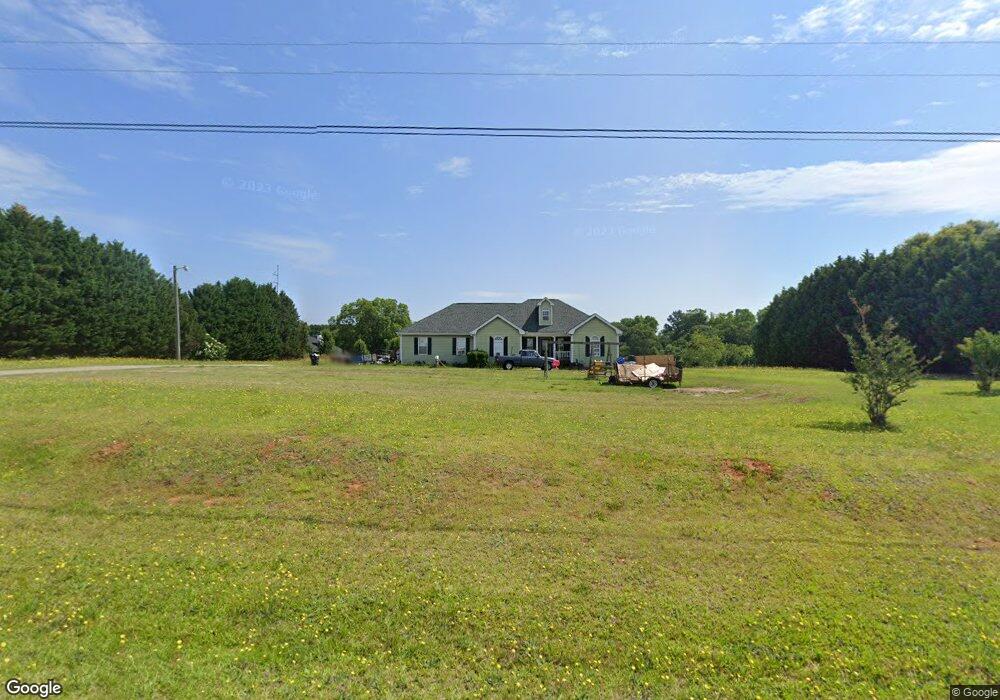
1501 Amberstapp Studdard Rd Unit 1 Social Circle, GA 30025
Estimated Value: $345,341 - $426,000
--
Bed
--
Bath
1,968
Sq Ft
$190/Sq Ft
Est. Value
About This Home
This home is located at 1501 Amberstapp Studdard Rd Unit 1, Social Circle, GA 30025 and is currently estimated at $373,780, approximately $189 per square foot. 1501 Amberstapp Studdard Rd Unit 1 is a home located in Walton County with nearby schools including Harmony Elementary School, Carver Middle School, and Monroe Area High School.
Ownership History
Date
Name
Owned For
Owner Type
Purchase Details
Closed on
Jul 23, 2002
Sold by
Wellborn Billy R
Bought by
Knight John E and Knight Shirley S
Current Estimated Value
Home Financials for this Owner
Home Financials are based on the most recent Mortgage that was taken out on this home.
Original Mortgage
$148,500
Outstanding Balance
$62,148
Interest Rate
6.53%
Mortgage Type
New Conventional
Estimated Equity
$311,632
Create a Home Valuation Report for This Property
The Home Valuation Report is an in-depth analysis detailing your home's value as well as a comparison with similar homes in the area
Home Values in the Area
Average Home Value in this Area
Purchase History
| Date | Buyer | Sale Price | Title Company |
|---|---|---|---|
| Knight John E | $165,000 | -- |
Source: Public Records
Mortgage History
| Date | Status | Borrower | Loan Amount |
|---|---|---|---|
| Open | Knight John E | $148,500 |
Source: Public Records
Tax History Compared to Growth
Tax History
| Year | Tax Paid | Tax Assessment Tax Assessment Total Assessment is a certain percentage of the fair market value that is determined by local assessors to be the total taxable value of land and additions on the property. | Land | Improvement |
|---|---|---|---|---|
| 2024 | $739 | $110,572 | $21,360 | $89,212 |
| 2023 | $536 | $107,292 | $19,080 | $88,212 |
| 2022 | $694 | $103,452 | $17,160 | $86,292 |
| 2021 | $694 | $83,412 | $12,200 | $71,212 |
| 2020 | $709 | $76,372 | $10,680 | $65,692 |
| 2019 | $723 | $69,092 | $9,160 | $59,932 |
| 2018 | $723 | $69,092 | $9,160 | $59,932 |
| 2017 | $2,274 | $66,012 | $9,160 | $56,852 |
| 2016 | $595 | $54,228 | $6,840 | $47,388 |
| 2015 | $544 | $49,908 | $6,840 | $43,068 |
| 2014 | $562 | $49,804 | $0 | $0 |
Source: Public Records
Map
Nearby Homes
- 1550 Knox Chapel Rd
- 1310 Knox Chapel Rd
- 745 Amber Lakes Ct Unit 2
- 1013 Amber Stapp Studdard Rd
- 2535 Willow Ln
- 5432 Willow Wind Ct
- 5187 Parkview Rd
- 0 Thurman Baccus Rd Unit 10647779
- 0 Thurman Baccus Rd Unit 10438526
- 0 Thurman Baccus Rd Unit 25621897
- 271 Orwell Dr
- 271 Orwell Dr Unit 49
- 345 Woodfin Way
- 257 Orwell Dr
- 257 Orwell Dr Unit 48
- 140 Weslyn Dr
- 218 Weslyn Dr
- 236 Weslyn Dr
- 278 Woodfin
- 170 Weslyn Dr
- 1485 Amber Stapp Studdard Rd
- 1493 Amberstapp Studdard Rd
- 1498 Amber Stapp Studdard Rd
- 1509 Amberstapp Studdard Rd
- 1430 Knox Chapel Rd
- 1485 Amberstapp Studdard Rd
- 1488 Amber Stapp Studdard Rd
- 1410 Knox Chapel Rd Unit 1
- 1510 Amber Stapp Studdard Rd
- 1477 Amber Stapp Studdard Rd
- 1477 Amberstapp Studdard Rd
- 1439 Knox Chapel Rd
- 1479 Knox Chapel Rd
- 1469 Amber Stapp Studdard Rd
- 1469 Amberstapp Studdard Rd
- 1499 Knox Chapel Rd
- 705 Amber Lakes Ct
- 1390 Knox Chapel Rd
- 1519 Knox Chapel Rd
- 1419 Knox Chapel Rd