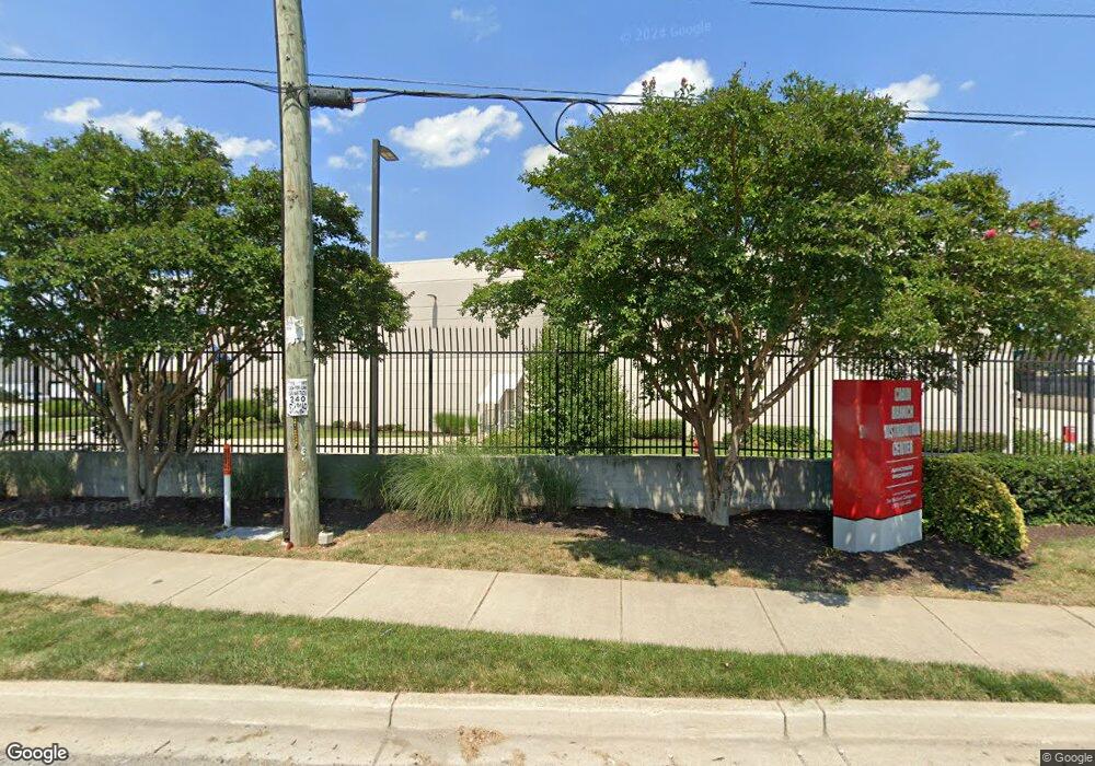
1501 Cabin Branch Dr Landover, MD 20785
Greater Landover Neighborhood
--
Bed
--
Bath
821,240
Sq Ft
48.32
Acres
About This Home
This home is located at 1501 Cabin Branch Dr, Landover, MD 20785. 1501 Cabin Branch Dr is a home located in Prince George's County with nearby schools including Columbia Park Elementary School, G. James Gholson Middle School, and Fairmont Heights High School.
Ownership History
Date
Name
Owned For
Owner Type
Purchase Details
Closed on
Apr 7, 2000
Sold by
Safeway Inc
Bought by
Pacific Realty Associates Lp and General Counsel Ste 300
Purchase Details
Closed on
Jun 30, 1999
Sold by
Rsl Warehouse Associates Llc
Bought by
Safeway Inc and 300 Suite
Purchase Details
Closed on
Dec 24, 1997
Sold by
Nc Associates
Bought by
Rsl Warehouse Associates Llc and 600 Ste
Purchase Details
Closed on
Dec 31, 1996
Sold by
Levitt Richard S
Bought by
Nc Associates
Create a Home Valuation Report for This Property
The Home Valuation Report is an in-depth analysis detailing your home's value as well as a comparison with similar homes in the area
Home Values in the Area
Average Home Value in this Area
Purchase History
| Date | Buyer | Sale Price | Title Company |
|---|---|---|---|
| Pacific Realty Associates Lp | $6,400,000 | -- | |
| Safeway Inc | $5,863,000 | -- | |
| Rsl Warehouse Associates Llc | -- | -- | |
| Nc Associates | $4,845 | -- |
Source: Public Records
Tax History Compared to Growth
Tax History
| Year | Tax Paid | Tax Assessment Tax Assessment Total Assessment is a certain percentage of the fair market value that is determined by local assessors to be the total taxable value of land and additions on the property. | Land | Improvement |
|---|---|---|---|---|
| 2025 | $1,343,829 | $91,877,200 | -- | -- |
| 2024 | $1,343,829 | $89,429,700 | $0 | $0 |
| 2023 | $1,307,331 | $86,982,200 | $21,048,100 | $65,934,100 |
| 2022 | $953,977 | $85,789,267 | $0 | $0 |
| 2021 | $2,305 | $75,288,633 | $0 | $0 |
| 2020 | $1,124,910 | $74,500,400 | $21,048,100 | $53,452,300 |
| 2019 | $1,054,577 | $73,643,667 | $0 | $0 |
| 2018 | $1,142,121 | $72,786,933 | $0 | $0 |
| 2017 | $2,305 | $71,930,200 | $0 | $0 |
| 2016 | -- | $65,831,000 | $0 | $0 |
| 2015 | $907,678 | $48,504,200 | $0 | $0 |
| 2014 | $907,678 | $54,171,800 | $0 | $0 |
Source: Public Records
Map
Nearby Homes
- 1152 Booker Dr
- 6202 State St
- 1004 Minna Ave
- 6007 State St
- 1528 Hunt Ave
- 1021 Booker Dr
- 1603 Warren Ave
- 922 Cedar Heights Dr
- 6200 L St
- 1505 Warren Ave
- 6310 K St
- 1103 61st Ave
- 1104 Indo Place
- 1400 Farmingdale Ave
- 6516 Columbia Park Rd
- 5810 Jefferson Heights Dr
- 6714 Asset Dr
- 1843 Ryderwood Ct
- 2208 Columbia Place
- 2203 Parkway
- 5800 Sheriff Rd
- 5850 Sheriff Rd
- 5820 Sheriff Rd
- 1701 Cabin Branch Dr
- 1805 S Club Dr
- 1811 Cabin Branch Dr
- 5627 Sheriff Rd
- 5810 Sheriff Rd
- 6304 Sheriff Rd
- 5900 Sheriff Rd
- 1901 Cabin Branch Dr
- 1900 Clarkson Way
- 1905 Clarkson Way
- 6101 Sheriff Rd
- 6300 Sheriff Rd
- 6105 Sheriff Rd
- 6111 Sheriff Rd
- 6115 Sheriff Rd
- 6201 Sheriff Rd
- 1111 Cypresstree Dr