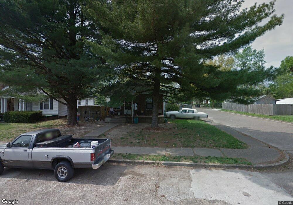
1501 Henning Ave Evansville, IN 47714
Presidents NeighborhoodEstimated Value: $86,219 - $106,000
1
Bed
1
Bath
704
Sq Ft
$138/Sq Ft
Est. Value
About This Home
This home is located at 1501 Henning Ave, Evansville, IN 47714 and is currently estimated at $97,305, approximately $138 per square foot. 1501 Henning Ave is a home located in Vanderburgh County with nearby schools including Benjamin Bosse High School, Harper Elementary School, and Washington Middle School.
Ownership History
Date
Name
Owned For
Owner Type
Purchase Details
Closed on
Mar 6, 2007
Sold by
Mdb & Associates Llc
Bought by
Heritage Investments Llc
Current Estimated Value
Home Financials for this Owner
Home Financials are based on the most recent Mortgage that was taken out on this home.
Original Mortgage
$37,794
Interest Rate
6.28%
Mortgage Type
Future Advance Clause Open End Mortgage
Create a Home Valuation Report for This Property
The Home Valuation Report is an in-depth analysis detailing your home's value as well as a comparison with similar homes in the area
Home Values in the Area
Average Home Value in this Area
Purchase History
| Date | Buyer | Sale Price | Title Company |
|---|---|---|---|
| Heritage Investments Llc | -- | None Available | |
| Heritage Investments Llc | -- | None Available |
Source: Public Records
Mortgage History
| Date | Status | Borrower | Loan Amount |
|---|---|---|---|
| Closed | Heritage Investments Llc | $37,794 |
Source: Public Records
Tax History Compared to Growth
Tax History
| Year | Tax Paid | Tax Assessment Tax Assessment Total Assessment is a certain percentage of the fair market value that is determined by local assessors to be the total taxable value of land and additions on the property. | Land | Improvement |
|---|---|---|---|---|
| 2024 | $1,187 | $55,000 | $13,000 | $42,000 |
| 2023 | $1,160 | $53,400 | $13,000 | $40,400 |
| 2022 | $941 | $43,100 | $13,000 | $30,100 |
| 2021 | $762 | $34,300 | $13,000 | $21,300 |
| 2020 | $745 | $34,300 | $13,000 | $21,300 |
| 2019 | $728 | $33,700 | $12,400 | $21,300 |
| 2018 | $741 | $34,200 | $12,400 | $21,800 |
| 2017 | $739 | $33,900 | $12,400 | $21,500 |
| 2016 | $743 | $34,000 | $12,400 | $21,600 |
| 2014 | $848 | $38,800 | $12,400 | $26,400 |
| 2013 | -- | $39,000 | $12,400 | $26,600 |
Source: Public Records
Map
Nearby Homes
- 1558 Henning Ave
- 1350 Taylor Ave
- 1563 Marshall Ave
- 1307 S Harlan Ave
- 1307 Marshall Ave
- 1300 Henning Ave
- 1225 S Harlan Ave
- 1152 Covert Ave
- 1215 Henning Ave
- 1419 Taylor Ave
- 1203 Marshall Ave
- 1201 Marshall Ave
- 1113 Ravenswood Dr
- 1205 Lodge Ave
- 1425 Covert Ave
- 1613 S Fares Ave
- 1112 S Harlan Ave
- 1521 Ravenswood Dr
- 1036 Covert Ave
- 1102 S Harlan Ave
- 1505 Henning Ave
- 1415 Henning Ave
- 1509 Henning Ave
- 1500 S Harlan Ave
- 1413 Henning Ave
- 1506 S Harlan Ave
- 1414 S Harlan Ave
- 1500 Henning Ave
- 1260 Ravenswood Dr
- 1264 Ravenswood Dr
- 1412 S Harlan Ave
- 1508 Henning Ave
- 1258 Ravenswood Dr
- 1409 Henning Ave
- 1416 Henning Ave
- 1410 S Harlan Ave
- 1254 Ravenswood Dr
- 1414 Henning Ave
- 1300 Ravenswood Dr
- 1407 Henning Ave