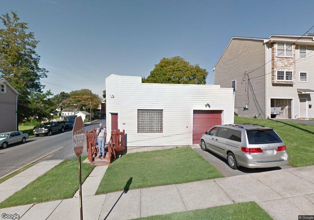
1501 High St Bethlehem, PA 18018
Downtown Bethlehem NeighborhoodEstimated Value: $201,011
Studio
--
Bath
1,915
Sq Ft
$105/Sq Ft
Est. Value
About This Home
This home is located at 1501 High St, Bethlehem, PA 18018 and is currently estimated at $201,011, approximately $104 per square foot. 1501 High St is a home located in Northampton County with nearby schools including Lincoln Elementary School, Northeast Middle School, and Liberty High School.
Ownership History
Date
Name
Owned For
Owner Type
Purchase Details
Closed on
Apr 4, 2019
Sold by
Stanke Carl E and Stanke Gail A
Bought by
Phoenix Fire Media Llc and Homespot Media
Current Estimated Value
Home Financials for this Owner
Home Financials are based on the most recent Mortgage that was taken out on this home.
Original Mortgage
$92,000
Outstanding Balance
$80,884
Interest Rate
4.3%
Mortgage Type
Purchase Money Mortgage
Estimated Equity
$122,122
Purchase Details
Closed on
Feb 28, 2012
Sold by
Lande Harry
Bought by
Stanke Carl E and Stanke Gail A
Home Financials for this Owner
Home Financials are based on the most recent Mortgage that was taken out on this home.
Original Mortgage
$65,200
Interest Rate
3.88%
Mortgage Type
Seller Take Back
Purchase Details
Closed on
Nov 1, 1988
Bought by
Lande Harry
Create a Home Valuation Report for This Property
The Home Valuation Report is an in-depth analysis detailing your home's value as well as a comparison with similar homes in the area
Home Values in the Area
Average Home Value in this Area
Purchase History
| Date | Buyer | Sale Price | Title Company |
|---|---|---|---|
| Phoenix Fire Media Llc | $115,000 | Steel Abstract | |
| Stanke Carl E | $65,200 | None Available | |
| Lande Harry | -- | -- |
Source: Public Records
Mortgage History
| Date | Status | Borrower | Loan Amount |
|---|---|---|---|
| Open | Phoenix Fire Media Llc | $92,000 | |
| Previous Owner | Stanke Carl E | $65,200 |
Source: Public Records
Tax History Compared to Growth
Tax History
| Year | Tax Paid | Tax Assessment Tax Assessment Total Assessment is a certain percentage of the fair market value that is determined by local assessors to be the total taxable value of land and additions on the property. | Land | Improvement |
|---|---|---|---|---|
| 2025 | $361 | $33,400 | $16,200 | $17,200 |
| 2024 | $2,952 | $33,400 | $16,200 | $17,200 |
| 2023 | $2,952 | $33,400 | $16,200 | $17,200 |
| 2022 | $2,657 | $30,300 | $16,200 | $14,100 |
| 2021 | $2,639 | $30,300 | $16,200 | $14,100 |
| 2020 | $2,614 | $30,300 | $16,200 | $14,100 |
| 2019 | $2,606 | $30,300 | $16,200 | $14,100 |
| 2018 | $2,542 | $30,300 | $16,200 | $14,100 |
| 2017 | $2,512 | $30,300 | $16,200 | $14,100 |
| 2016 | -- | $30,300 | $16,200 | $14,100 |
| 2015 | -- | $30,300 | $16,200 | $14,100 |
| 2014 | -- | $30,300 | $16,200 | $14,100 |
Source: Public Records
Map
Nearby Homes
- 1507 High St
- 1422 Hottle Ave
- 1417 Lorain Ave
- 1409 Lorain Ave
- 1405 Lorain Ave
- 329 Carver Dr Unit 329
- 315 Carver Dr
- 510 Hickory St
- 1037 Maple St
- 938 Linden St
- 129 E Goepp St
- 211 E Goepp St
- 128 E Spruce St
- 113 W Frankford St
- 23 W Goepp St
- 744 Center St
- 47 W Goepp St
- 736 High St
- 123 E Garrison St
- 717 High St