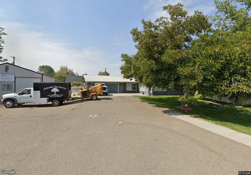
1501 Horning Way Ontario, OR 97914
Estimated Value: $460,586 - $545,000
5
Beds
3
Baths
2,720
Sq Ft
$185/Sq Ft
Est. Value
About This Home
This home is located at 1501 Horning Way, Ontario, OR 97914 and is currently estimated at $502,793, approximately $184 per square foot. 1501 Horning Way is a home located in Malheur County with nearby schools including Ontario High School, Four Rivers Community School, and Treasure Valley Christian School.
Ownership History
Date
Name
Owned For
Owner Type
Purchase Details
Closed on
Apr 1, 2016
Sold by
Reever Robert M and Reever Kelley S
Bought by
Lande Jeffrey S and Lande Audrey Mae
Current Estimated Value
Home Financials for this Owner
Home Financials are based on the most recent Mortgage that was taken out on this home.
Original Mortgage
$242,526
Outstanding Balance
$193,114
Interest Rate
3.75%
Mortgage Type
FHA
Estimated Equity
$309,679
Create a Home Valuation Report for This Property
The Home Valuation Report is an in-depth analysis detailing your home's value as well as a comparison with similar homes in the area
Home Values in the Area
Average Home Value in this Area
Purchase History
| Date | Buyer | Sale Price | Title Company |
|---|---|---|---|
| Lande Jeffrey S | $247,000 | Amerititle |
Source: Public Records
Mortgage History
| Date | Status | Borrower | Loan Amount |
|---|---|---|---|
| Open | Lande Jeffrey S | $242,526 |
Source: Public Records
Tax History Compared to Growth
Tax History
| Year | Tax Paid | Tax Assessment Tax Assessment Total Assessment is a certain percentage of the fair market value that is determined by local assessors to be the total taxable value of land and additions on the property. | Land | Improvement |
|---|---|---|---|---|
| 2024 | $3,733 | $242,859 | $73,185 | $169,674 |
| 2023 | $3,634 | $235,786 | $50,491 | $185,295 |
| 2022 | $3,537 | $228,919 | $57,290 | $171,629 |
| 2021 | $3,447 | $222,252 | $60,084 | $162,168 |
| 2020 | $3,354 | $215,779 | $57,953 | $157,826 |
| 2019 | $3,267 | $209,495 | $46,458 | $163,037 |
| 2018 | $2,992 | $203,394 | $46,495 | $156,899 |
| 2017 | $2,900 | $197,470 | $52,043 | $145,427 |
| 2016 | $2,889 | $191,719 | $50,527 | $141,192 |
| 2015 | $2,826 | $186,135 | $51,534 | $134,601 |
| 2014 | $2,745 | $180,714 | $30,620 | $150,094 |
Source: Public Records
Map
Nearby Homes
- 655 NW 15th St
- 658 NW 14th St
- 5387 Oregon 201
- 563 NW 18th St
- 770 N Dorian Dr
- 1360 NW 18th Ave
- TBD Malheur Dr
- 335 NW 19th St
- 2048 NW 3rd Ave
- 1274 Arata Way
- 332 Sears Dr
- 124 Sears Dr
- 1425 W Idaho Ave
- 49 NW 19th St
- 1488 W Idaho Ave
- 1863 SW 1st Ave
- 41 N Dorian Dr
- 2543 Lauren Dr
- 1054 NW 2nd Ave
- 2090 NW 11th St B
- 1024 Triand Dr
- 1491 Horning Way
- 996 Triand Dr
- 1052 Triand Dr
- 1488 Horning Way
- 968 Triand Dr
- 1501 Crest Way
- 1471 Horning Way
- 1485 Crest Way Unit 1
- 1454 Horning Way
- 936 Triand Dr
- 1021 Triand Dr
- 1078 Triand Dr
- 1455 Crest Way
- 1455 Crest Way
- 1055 Triand Dr
- 1055 Triand Dr
- 973 Triand Dr
- 1441 Horning Way
- 910 Triand Dr