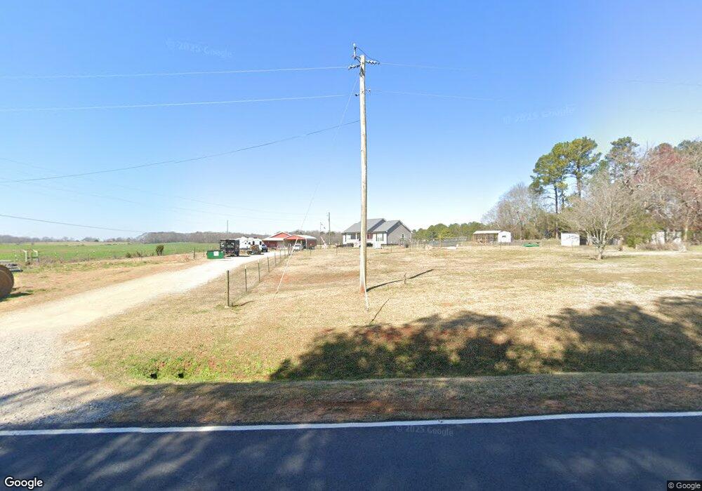
1501 Kirkland Rd Watkinsville, GA 30677
Estimated Value: $516,000 - $621,630
--
Bed
--
Bath
1,508
Sq Ft
$389/Sq Ft
Est. Value
About This Home
This home is located at 1501 Kirkland Rd, Watkinsville, GA 30677 and is currently estimated at $586,658, approximately $389 per square foot. 1501 Kirkland Rd is a home with nearby schools including Colham Ferry Elementary School, Oconee County Middle School, and Oconee County High School.
Ownership History
Date
Name
Owned For
Owner Type
Purchase Details
Closed on
Mar 22, 2021
Sold by
Gotum John B Van
Bought by
Vangotum John B and Vangotum Rebecca R
Current Estimated Value
Home Financials for this Owner
Home Financials are based on the most recent Mortgage that was taken out on this home.
Original Mortgage
$205,500
Outstanding Balance
$184,527
Interest Rate
2.8%
Mortgage Type
New Conventional
Estimated Equity
$402,131
Create a Home Valuation Report for This Property
The Home Valuation Report is an in-depth analysis detailing your home's value as well as a comparison with similar homes in the area
Home Values in the Area
Average Home Value in this Area
Purchase History
| Date | Buyer | Sale Price | Title Company |
|---|---|---|---|
| Vangotum John B | -- | -- |
Source: Public Records
Mortgage History
| Date | Status | Borrower | Loan Amount |
|---|---|---|---|
| Open | Vangotum John B | $205,500 |
Source: Public Records
Tax History Compared to Growth
Tax History
| Year | Tax Paid | Tax Assessment Tax Assessment Total Assessment is a certain percentage of the fair market value that is determined by local assessors to be the total taxable value of land and additions on the property. | Land | Improvement |
|---|---|---|---|---|
| 2024 | $2,883 | $197,716 | $75,176 | $122,540 |
| 2023 | $2,883 | $176,430 | $63,709 | $112,721 |
| 2022 | $2,542 | $148,770 | $53,092 | $95,678 |
| 2021 | $1,000 | $88,948 | $48,264 | $40,684 |
| 2020 | $288 | $57,275 | $47,318 | $9,957 |
| 2019 | $206 | $45,940 | $39,432 | $6,508 |
| 2018 | $216 | $41,092 | $34,288 | $6,804 |
| 2017 | $215 | $37,976 | $31,172 | $6,804 |
| 2016 | $216 | $33,319 | $26,367 | $6,952 |
| 2015 | $50 | $26,367 | $26,367 | $0 |
| 2014 | $50 | $23,970 | $23,970 | $0 |
| 2013 | -- | $24,397 | $24,397 | $0 |
Source: Public Records
Map
Nearby Homes
- 1010 Bridlegate Dr Unit 25
- 1050 Pembrook Ct
- 2812 Astondale Rd
- 4081 Greensboro Hwy
- 1081 Old Mill Dr
- 1100 Ryland Hills Dr
- 1200 Ryland Hills Dr
- 3291 Ryland Hills Dr
- 3191 Ryland Hills Dr
- 1931 Oliver Bridge Rd
- 3095 Ryland Hills Dr
- 0 S Barnett Shoals Rd Unit CL336112
- 0 S Barnett Shoals Rd Unit 10579614
- 1491 Saxon Rd
- 1020 Barnett Place
- 1050 Golf Course Ln
- 3868 Barnett Shoals Rd
- 1800 Elder Mill Rd
- 3910 S Barnett Shoals Rd
- 0 Old Barnett Shoals Rd Unit 22878090
- 20 Acres Kirkland Rd
- 1621 Kirkland Rd
- 1631 Kirkland Rd
- 1630 Kirkland Rd
- 0 Kirkland Rd Unit 986782
- 0 Kirkland Rd Unit 8636677
- 0 Kirkland Rd Unit 3060526
- 1641 Kirkland Rd
- 1601 Kirkland Rd
- 1810 Kirkland Rd
- 1340 Kirkland Rd
- 1781 Kirkland Rd
- 1750 Flat Rock Rd
- 1211 Kirkland Rd
- 1825 Kirkland Rd
- 1899 Cedar Rd
- 2927 Greensboro Hwy
- 1150 Kirkland Rd
- 1901 Cedar Rd