Estimated Value: $91,000 - $165,045
2
Beds
1
Bath
1,000
Sq Ft
$143/Sq Ft
Est. Value
About This Home
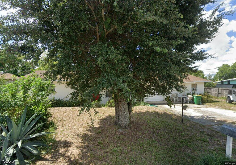
This home is located at 1501 Loring St, Cocoa, FL 32922 and is currently estimated at $143,261, approximately $143 per square foot. 1501 Loring St is a home located in Brevard County with nearby schools including Cambridge Elementary Magnet School, Cocoa High School, and Space Coast Christian Academy.
Ownership History
Date
Name
Owned For
Owner Type
Purchase Details
Closed on
Jun 26, 2024
Sold by
Hendricks Mary Jane and Hendricks Brian
Bought by
Aleman Properties Corp
Current Estimated Value
Purchase Details
Closed on
Nov 19, 2001
Sold by
Dontell Susan L and Farrar Thomas Wayne
Bought by
Hendricks Mary J
Home Financials for this Owner
Home Financials are based on the most recent Mortgage that was taken out on this home.
Original Mortgage
$43,700
Interest Rate
6.59%
Mortgage Type
New Conventional
Create a Home Valuation Report for This Property
The Home Valuation Report is an in-depth analysis detailing your home's value as well as a comparison with similar homes in the area
Home Values in the Area
Average Home Value in this Area
Purchase History
| Date | Buyer | Sale Price | Title Company |
|---|---|---|---|
| Aleman Properties Corp | $99,000 | -- | |
| Hendricks Mary J | $46,000 | -- |
Source: Public Records
Mortgage History
| Date | Status | Borrower | Loan Amount |
|---|---|---|---|
| Previous Owner | Hendricks Mary J | $43,700 |
Source: Public Records
Tax History
| Year | Tax Paid | Tax Assessment Tax Assessment Total Assessment is a certain percentage of the fair market value that is determined by local assessors to be the total taxable value of land and additions on the property. | Land | Improvement |
|---|---|---|---|---|
| 2025 | $1,649 | $115,830 | -- | -- |
| 2024 | $601 | $115,480 | -- | -- |
| 2023 | $601 | $41,640 | $0 | $0 |
| 2022 | $607 | $40,430 | $0 | $0 |
| 2021 | $591 | $39,260 | $0 | $0 |
| 2020 | $551 | $38,720 | $0 | $0 |
| 2019 | $490 | $37,850 | $0 | $0 |
| 2018 | $481 | $37,150 | $0 | $0 |
| 2017 | $470 | $36,390 | $0 | $0 |
| 2016 | $461 | $35,650 | $9,500 | $26,150 |
| 2015 | $451 | $35,410 | $9,500 | $25,910 |
| 2014 | $448 | $35,130 | $9,500 | $25,630 |
Source: Public Records
Map
Nearby Homes
- 1523 Clearlake Ct
- 1531 Paradise Ln
- 1515 Furnari St
- 1523 Furnari St
- 1514- 1514 Furnari St
- 1644 Ruth St
- 1455 Tate St
- 1509 Tate St
- 1810 Dixon Blvd
- 1011 Montclair Rd
- 1424 Pineda St
- 914 Clearlake Rd Unit 211B
- 914 Clearlake Rd Unit 115B
- 914 Clearlake Rd Unit 208C
- 914 Clearlake Rd Unit 206B
- 1204 Japonica Ln
- 1514 Clearlake Rd Unit 143
- 0 NE Stetson Cir Unit 1043762
- 0 NE Stetson Cir Unit 1043763
- 7231 Sundiet Blvd
- 1509 Loring St
- 1455 Loring St
- 1504 Clearlake Ct
- 1504 Loring St
- 1508 Clearlake Ct
- 1454 Clearlake Ct
- 1456 Loring St
- 1450 Clearlake Ct
- 1435 Loring St
- 1517 Loring St
- 1512 Clearlake Ct
- 1510 Loring St
- 1450 Loring St
- 1505 Highland Ct
- 0 Unknown Ct Unit 1039526
- 1444 Clearlake Ct
- 1400 Clearlake Ct
- 1455 Highland Ct
- 1517 Highland Ct
- 1449 Highland Ct
Your Personal Tour Guide
Ask me questions while you tour the home.