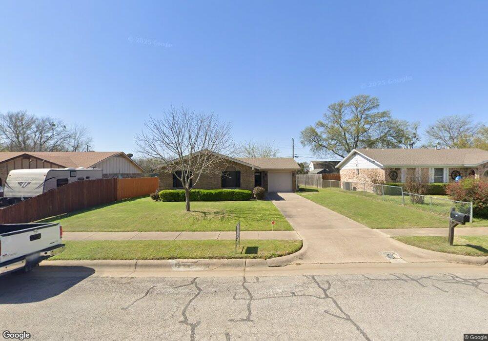
1501 Mcanear St Cleburne, TX 76033
Estimated Value: $210,000 - $269,000
3
Beds
2
Baths
1,122
Sq Ft
$202/Sq Ft
Est. Value
About This Home
This home is located at 1501 Mcanear St, Cleburne, TX 76033 and is currently estimated at $227,180, approximately $202 per square foot. 1501 Mcanear St is a home located in Johnson County with nearby schools including Cooke Elementary School, A.D. Wheat Middle School, and Cleburne High School.
Ownership History
Date
Name
Owned For
Owner Type
Purchase Details
Closed on
Oct 6, 2018
Sold by
Duneom Sherry and Willis Melissa
Bought by
Swinoell Ella Mae Harwell
Current Estimated Value
Purchase Details
Closed on
Dec 1, 2017
Sold by
Conner David Darrell and Conner Cynthia P
Bought by
Conner David Darrell and Conner Cynthia P
Home Financials for this Owner
Home Financials are based on the most recent Mortgage that was taken out on this home.
Original Mortgage
$142,500
Interest Rate
4.97%
Mortgage Type
Reverse Mortgage Home Equity Conversion Mortgage
Create a Home Valuation Report for This Property
The Home Valuation Report is an in-depth analysis detailing your home's value as well as a comparison with similar homes in the area
Home Values in the Area
Average Home Value in this Area
Purchase History
| Date | Buyer | Sale Price | Title Company |
|---|---|---|---|
| Swinoell Ella Mae Harwell | -- | None Available | |
| Conner David Darrell | -- | Fnc Title Services Llc |
Source: Public Records
Mortgage History
| Date | Status | Borrower | Loan Amount |
|---|---|---|---|
| Previous Owner | Conner David Darrell | $142,500 |
Source: Public Records
Tax History Compared to Growth
Tax History
| Year | Tax Paid | Tax Assessment Tax Assessment Total Assessment is a certain percentage of the fair market value that is determined by local assessors to be the total taxable value of land and additions on the property. | Land | Improvement |
|---|---|---|---|---|
| 2025 | $712 | $213,820 | $45,000 | $168,820 |
| 2024 | $3,405 | $152,717 | $0 | $0 |
| 2023 | $712 | $190,243 | $45,000 | $145,243 |
| 2022 | $3,159 | $155,156 | $38,500 | $116,656 |
| 2021 | $2,994 | $114,739 | $22,000 | $92,739 |
| 2020 | $3,052 | $114,739 | $22,000 | $92,739 |
| 2019 | $2,958 | $114,739 | $22,000 | $92,739 |
| 2018 | $2,690 | $96,300 | $20,000 | $76,300 |
| 2017 | $2,436 | $89,760 | $20,000 | $69,760 |
| 2016 | $2,214 | $77,084 | $15,000 | $62,084 |
Source: Public Records
Map
Nearby Homes
- 1413 Phillips St
- 1102 Holly St
- 1401 Quail Creek Dr
- 1418 Quail Creek Dr
- 1419 Quail Creek Dr
- 1408 Quail Creek Dr
- 1410 Quail Creek Dr
- 1300 Holly St
- 1402 Dry Creek Dr
- 1202 Holly St
- 1327 Southern Blvd
- 1301 Rose Ave
- 1109 Lena St
- 618 Woodard Ave
- 568 Marsh St
- DENTON Plan at Meadowbrook Estates
- TEXAS CALI Plan at Meadowbrook Estates
- HUNTSVILLE Plan at Meadowbrook Estates
- BROOKE Plan at Meadowbrook Estates
- HANNA Plan at Meadowbrook Estates
- 1421 Mcanear St
- 1503 Mcanear St
- 1419 Mcanear St
- 1505 Mcanear St
- 1430 Mimosa St
- 1433 Mimosa St
- 1507 Mcanear St
- 1504 Mcanear St
- 1509 Mcanear St
- 1429 Mimosa St
- 1428 Mimosa St
- 1431 Laurel Ln
- 1427 Mimosa St
- 1601 Mcanear St
- 1426 Mimosa St
- 1429 Laurel Ln
- 1425 Mimosa St
- 1603 Mcanear St
- 1427 Laurel Ln
- 1424 Mimosa St