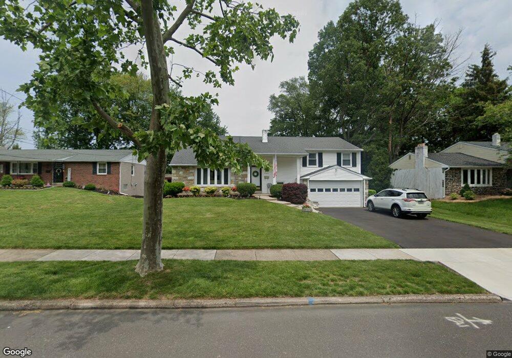
1501 Nevarc Rd Warminster, PA 18974
Estimated Value: $532,103 - $549,000
3
Beds
3
Baths
2,142
Sq Ft
$253/Sq Ft
Est. Value
About This Home
This home is located at 1501 Nevarc Rd, Warminster, PA 18974 and is currently estimated at $541,776, approximately $252 per square foot. 1501 Nevarc Rd is a home located in Bucks County with nearby schools including Willow Dale El School, Log College Middle School, and William Tennent High School.
Ownership History
Date
Name
Owned For
Owner Type
Purchase Details
Closed on
Jul 16, 1999
Sold by
Pollock Edward M and Pollock Margaret A
Bought by
Corkery Terrance P and Corkery Maria A
Current Estimated Value
Home Financials for this Owner
Home Financials are based on the most recent Mortgage that was taken out on this home.
Original Mortgage
$147,200
Outstanding Balance
$41,004
Interest Rate
7.49%
Estimated Equity
$500,772
Purchase Details
Closed on
Dec 6, 1962
Bought by
Pollock Edward M and Pollock Margt A
Create a Home Valuation Report for This Property
The Home Valuation Report is an in-depth analysis detailing your home's value as well as a comparison with similar homes in the area
Home Values in the Area
Average Home Value in this Area
Purchase History
| Date | Buyer | Sale Price | Title Company |
|---|---|---|---|
| Corkery Terrance P | $184,000 | -- | |
| Pollock Edward M | -- | -- |
Source: Public Records
Mortgage History
| Date | Status | Borrower | Loan Amount |
|---|---|---|---|
| Open | Corkery Terrance P | $147,200 | |
| Closed | Corkery Terrance P | $18,400 |
Source: Public Records
Tax History Compared to Growth
Tax History
| Year | Tax Paid | Tax Assessment Tax Assessment Total Assessment is a certain percentage of the fair market value that is determined by local assessors to be the total taxable value of land and additions on the property. | Land | Improvement |
|---|---|---|---|---|
| 2025 | $6,661 | $31,560 | $5,000 | $26,560 |
| 2024 | $6,661 | $31,560 | $5,000 | $26,560 |
| 2023 | $6,456 | $31,560 | $5,000 | $26,560 |
| 2022 | $6,318 | $31,560 | $5,000 | $26,560 |
| 2021 | $6,171 | $31,560 | $5,000 | $26,560 |
| 2020 | $6,084 | $31,560 | $5,000 | $26,560 |
| 2019 | $5,761 | $31,560 | $5,000 | $26,560 |
| 2018 | $5,623 | $31,560 | $5,000 | $26,560 |
| 2017 | $5,459 | $31,560 | $5,000 | $26,560 |
| 2016 | $5,459 | $31,560 | $5,000 | $26,560 |
| 2015 | $5,312 | $31,560 | $5,000 | $26,560 |
| 2014 | $5,312 | $31,560 | $5,000 | $26,560 |
Source: Public Records
Map
Nearby Homes
- 442 Acorn Dr
- 1334 Mallard Cir
- 254 Sassafras Ct Unit 254
- 1575 W Street Rd Unit 626
- 1575 W Street Rd Unit 812
- 1575 W Street Rd Unit 721
- 244 Sassafras Ct Unit 244
- 223 Sassafras Ct Unit 223
- 192 Hackberry Ct
- 64 Villa Dr Unit 206
- 1704 Larue Ln
- 100 Villa Dr Unit 224
- 735 Saint Davids Ave
- 159 Villa Dr Unit 91
- 797 Monaco Dr
- 1277 Beverly Rd
- 791 Philadelphia Ave
- 1274 Beverly Rd
- 1309 Clyde Rd
- 13 Eagle Ct
- 1509 Nevarc Rd
- 1493 Nevarc Rd
- 1500 Foster Rd
- 1512 Foster Rd
- 1492 Foster Rd
- 1519 Nevarc Rd
- 1485 Nevarc Rd
- 1520 Foster Rd
- 1484 Foster Rd
- 1500 Nevarc Rd
- 1477 Nevarc Rd
- 1484 Nevarc Rd
- 1476 Foster Rd
- 1535 Nevarc Rd
- 1520 Nevarc Rd
- 401 Hopwood Dr
- 357 Rettop Place
- 1469 Nevarc Rd
- 1538 Nevarc Rd
- 1468 Foster Rd