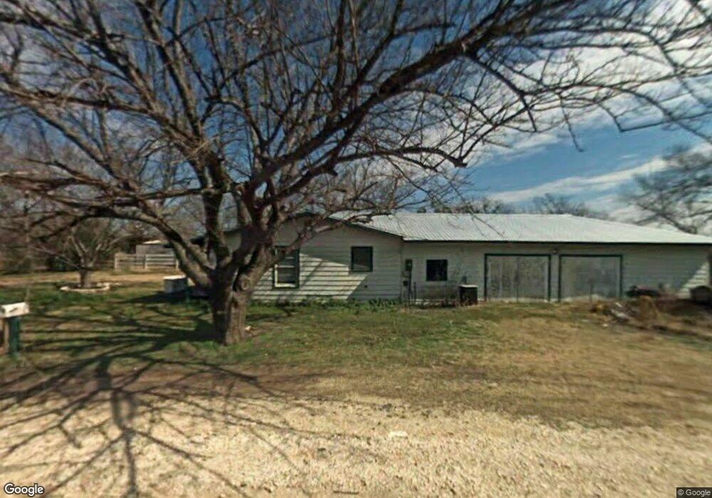
1501 S Walnut St Cleburne, TX 76033
Osage-North Fisk NeighborhoodEstimated Value: $278,125 - $312,000
4
Beds
2
Baths
1,750
Sq Ft
$168/Sq Ft
Est. Value
About This Home
This home is located at 1501 S Walnut St, Cleburne, TX 76033 and is currently estimated at $293,781, approximately $167 per square foot. 1501 S Walnut St is a home located in Johnson County with nearby schools including Gerard Elementary School, Lowell Smith Jr. Middle School, and Cleburne High School.
Ownership History
Date
Name
Owned For
Owner Type
Purchase Details
Closed on
Apr 24, 2014
Sold by
Crawford Phillip and Crawford Heidi
Bought by
Bayview Loan Servicing Llc
Current Estimated Value
Purchase Details
Closed on
Jun 30, 2006
Sold by
Smalley Bryant S and Smalley Jennifer W
Bought by
Crawford Phillip
Home Financials for this Owner
Home Financials are based on the most recent Mortgage that was taken out on this home.
Original Mortgage
$119,200
Interest Rate
8.5%
Mortgage Type
Adjustable Rate Mortgage/ARM
Create a Home Valuation Report for This Property
The Home Valuation Report is an in-depth analysis detailing your home's value as well as a comparison with similar homes in the area
Home Values in the Area
Average Home Value in this Area
Purchase History
| Date | Buyer | Sale Price | Title Company |
|---|---|---|---|
| Bayview Loan Servicing Llc | -- | Servicelink | |
| Crawford Phillip | -- | None Available |
Source: Public Records
Mortgage History
| Date | Status | Borrower | Loan Amount |
|---|---|---|---|
| Previous Owner | Crawford Phillip | $119,200 |
Source: Public Records
Tax History Compared to Growth
Tax History
| Year | Tax Paid | Tax Assessment Tax Assessment Total Assessment is a certain percentage of the fair market value that is determined by local assessors to be the total taxable value of land and additions on the property. | Land | Improvement |
|---|---|---|---|---|
| 2025 | $2,588 | $162,668 | $26,250 | $136,418 |
| 2024 | $3,627 | $162,668 | $26,250 | $136,418 |
| 2023 | $2,277 | $162,668 | $26,250 | $136,418 |
| 2022 | $3,348 | $162,668 | $26,250 | $136,418 |
| 2021 | $3,173 | $0 | $0 | $0 |
| 2020 | $3,065 | $0 | $0 | $0 |
| 2019 | $2,971 | $0 | $0 | $0 |
| 2018 | $2,919 | $0 | $0 | $0 |
| 2017 | $2,907 | $0 | $0 | $0 |
| 2016 | $2,907 | $0 | $0 | $0 |
| 2015 | $2,661 | $0 | $0 | $0 |
| 2014 | $2,661 | $110,230 | $11,250 | $98,980 |
Source: Public Records
Map
Nearby Homes
- 1503 Stanwood Ave
- 1107 Stanwood Ave
- 616 Bellevue Dr
- 714 Forrest Ave
- 1102 Hillsboro St
- 0000 State Highway 171
- 1027 Spring Azure Dr
- 611 Forrest Ave
- 1104 Cherrywood Dr
- 603 S Walnut St
- TBD E Hwy 4 Hwy
- 311 Sunset Dr
- 909 Highland Dr
- 505 W Earl St
- 4112 Highland Dr
- 4101 Highland Dr
- 404 Forrest Ave
- 1104 Lynnwood Dr
- 215 Sunset Dr
- 1411 Clearfield Dr
- 1209 Prairie Ave
- 1205 Prairie Ave
- 1203 Prairie Ave
- 1201 Prairie Ave
- 1401 S Walnut St
- 000 Corson St
- 1125 Prairie Ave
- 1206 Prairie Ave
- 1208 Prairie Ave
- 1204 Prairie Ave
- 1202 Prairie Ave
- 1305 Prairie Ave
- 1317 S Walnut St
- 1123 Prairie Ave
- 102 Scudder St
- 1126 Prairie Ave
- 103 Corson St
- 1121 Prairie Ave
- 1122 Prairie Ave
- 1315 S Walnut St