Estimated Value: $148,000 - $178,000
--
Bed
2
Baths
1,188
Sq Ft
$138/Sq Ft
Est. Value
About This Home
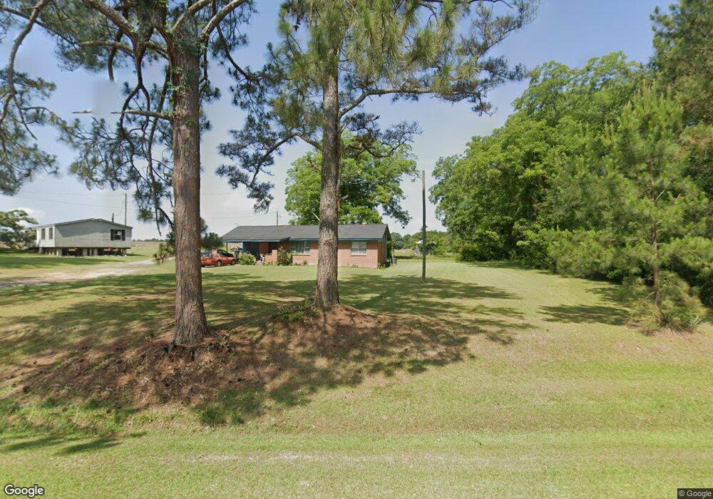
This home is located at 1501 Simmon Hill Rd, Dixie, GA 31629 and is currently estimated at $163,743, approximately $137 per square foot. 1501 Simmon Hill Rd is a home located in Brooks County with nearby schools including Quitman Elementary School and Westbrook School.
Ownership History
Date
Name
Owned For
Owner Type
Purchase Details
Closed on
May 9, 2019
Sold by
Manning Bobby Earl
Bought by
Hunter Leroy and Hunter Gussie
Current Estimated Value
Purchase Details
Closed on
Mar 18, 2013
Sold by
Manning Frankie B
Bought by
Manning Bobby Earl
Purchase Details
Closed on
Jan 31, 1967
Sold by
Spencer Gloriola
Bought by
Manning James E and Manning Frankie B
Create a Home Valuation Report for This Property
The Home Valuation Report is an in-depth analysis detailing your home's value as well as a comparison with similar homes in the area
Home Values in the Area
Average Home Value in this Area
Purchase History
| Date | Buyer | Sale Price | Title Company |
|---|---|---|---|
| Hunter Leroy | -- | -- | |
| Hunter Leroy | -- | -- | |
| Manning Bobby Earl | -- | -- | |
| Manning James E | -- | -- |
Source: Public Records
Tax History Compared to Growth
Tax History
| Year | Tax Paid | Tax Assessment Tax Assessment Total Assessment is a certain percentage of the fair market value that is determined by local assessors to be the total taxable value of land and additions on the property. | Land | Improvement |
|---|---|---|---|---|
| 2024 | $1,636 | $49,140 | $12,640 | $36,500 |
| 2023 | $1,073 | $45,060 | $12,120 | $32,940 |
| 2022 | $1,395 | $36,700 | $11,560 | $25,140 |
| 2021 | $1,212 | $32,820 | $11,320 | $21,500 |
| 2020 | $913 | $32,860 | $11,320 | $21,540 |
| 2019 | $1,227 | $34,580 | $14,360 | $20,220 |
| 2018 | $980 | $33,540 | $12,960 | $20,580 |
| 2017 | $1,107 | $32,860 | $12,960 | $19,900 |
| 2016 | $1,189 | $33,180 | $12,960 | $20,220 |
| 2015 | -- | $33,380 | $12,960 | $20,420 |
| 2014 | -- | $34,060 | $12,960 | $21,100 |
| 2013 | -- | $0 | $0 | $0 |
Source: Public Records
Map
Nearby Homes
- 0 Spencer Rd
- 5199 U S 84
- 2818 Dry Lake Rd
- 431 Dry Lake Rd
- 2156 County Road 78
- 9900 Ozell Rd
- 8820 Grooverville Rd
- 2434 Dunn Rd
- 1540 Dunn Rd
- 804 Westlake Dr
- 309 Eastlake Dr
- 602 N Webster St
- 1103 W Railroad St
- 802 W Lafayette St
- 304 W Rountree St
- 1002 N Madison St
- 606 N Court St
- 621 N Court St
- 302 Waterside Dr
- 503 N Culpepper St
- 1381 Simmon Hill Rd
- 1380 Simmon Hill Rd
- 1350 Simmon Hill Rd
- 1767 Simmon Hill Rd
- 1116 Spencer Rd
- 1149 Spencer Rd
- 1258 Spencer Rd
- 1100 Simmon Hill Rd
- 1377 Spencer Rd
- 2081 Simmon Hill Rd
- 117 Marable Ln
- 351 Rodgers Ln
- 2120 Simmon Hill Rd
- 279 Rodgers Ln
- 124 Marable Ln
- 200 Mcgraw Dr
- 310 Burns Ln
- 310 Burns Ln
- 214 Marable Ln
- 231 Mcgraw Dr