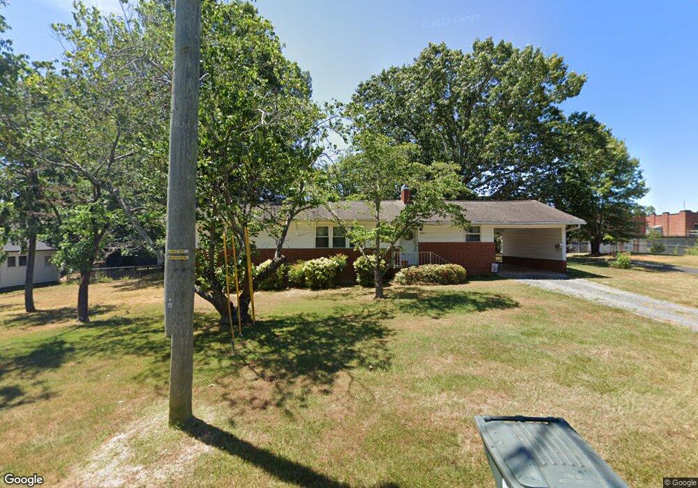
1501 Sunset Dr Asheboro, NC 27205
Estimated Value: $151,710 - $211,000
--
Bed
1
Bath
1,368
Sq Ft
$138/Sq Ft
Est. Value
About This Home
This home is located at 1501 Sunset Dr, Asheboro, NC 27205 and is currently estimated at $188,928, approximately $138 per square foot. 1501 Sunset Dr is a home located in Randolph County with nearby schools including Donna L. Loflin Elementary School, North Asheboro Middle School, and Asheboro High School.
Ownership History
Date
Name
Owned For
Owner Type
Purchase Details
Closed on
Oct 13, 2005
Sold by
Redding Clarice Hethcock and Redding Samuel Steele
Bought by
Everhart David S and Everhart Carolyn B
Current Estimated Value
Home Financials for this Owner
Home Financials are based on the most recent Mortgage that was taken out on this home.
Original Mortgage
$51,000
Outstanding Balance
$26,959
Interest Rate
5.66%
Mortgage Type
Fannie Mae Freddie Mac
Estimated Equity
$161,969
Create a Home Valuation Report for This Property
The Home Valuation Report is an in-depth analysis detailing your home's value as well as a comparison with similar homes in the area
Home Values in the Area
Average Home Value in this Area
Purchase History
| Date | Buyer | Sale Price | Title Company |
|---|---|---|---|
| Everhart David S | $86,000 | -- |
Source: Public Records
Mortgage History
| Date | Status | Borrower | Loan Amount |
|---|---|---|---|
| Open | Everhart David S | $51,000 |
Source: Public Records
Tax History Compared to Growth
Tax History
| Year | Tax Paid | Tax Assessment Tax Assessment Total Assessment is a certain percentage of the fair market value that is determined by local assessors to be the total taxable value of land and additions on the property. | Land | Improvement |
|---|---|---|---|---|
| 2025 | $760 | $114,730 | $22,650 | $92,080 |
| 2024 | $760 | $114,730 | $22,650 | $92,080 |
| 2023 | $760 | $114,730 | $22,650 | $92,080 |
| 2022 | $607 | $84,180 | $22,650 | $61,530 |
| 2021 | $607 | $84,180 | $22,650 | $61,530 |
| 2020 | $607 | $84,180 | $22,650 | $61,530 |
| 2019 | $607 | $84,180 | $22,650 | $61,530 |
| 2018 | $563 | $76,720 | $23,610 | $53,110 |
| 2016 | $563 | $76,720 | $23,610 | $53,110 |
| 2015 | $1,128 | $76,720 | $23,610 | $53,110 |
| 2014 | -- | $76,720 | $23,610 | $53,110 |
Source: Public Records
Map
Nearby Homes
- 1263 Winslow Ave Unit A, B & C
- 135 West St
- 627 Oakmont Dr
- 923 Arnold St
- 830 Sunset Ave
- 711 Sunset Ave Unit E
- 401 Uwharrie St
- 435 Peachtree St
- 866 Mountain Rd
- 612 Sunset Ave Unit 6
- 1582 Westmont Dr
- 617 Uwharrie St Unit N
- 1110 Park Dr
- 1011 Westmont Dr
- 516 and 518 Peachtree St
- 135 Dixon St
- 635 Oakgrove Rd
- 631 W Kivett St
- 0 Highwood Dr
- 806 Windermere Ct
- 1453 Sunset Dr
- 000 Sunset Dr
- 1525 Sunset Dr
- 203 Sunset Dr N
- 1450 Winslow Ave
- 1445 Sunset Dr
- 1454 Sunset Dr
- 1446 Winslow Ave
- 213 Sunset Dr N
- 1439 Sunset Dr
- 203 Bossong Dr
- 1440 Winslow Ave
- 14540 Sunset Dr
- 1519 Sunset Dr
- 207 Bossong Dr
- 1455 Winslow Ave
- 1433 Sunset Dr
- 1522 Sunset Dr
- 1434 Winslow Ave
- 213 Bossong Dr