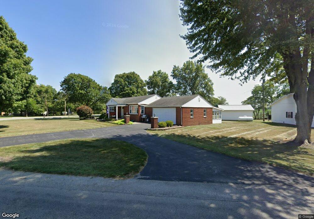
15011 Old State Route 12 Columbus Grove, OH 45830
Estimated Value: $167,311 - $224,000
--
Bed
2
Baths
948
Sq Ft
$197/Sq Ft
Est. Value
About This Home
This home is located at 15011 Old State Route 12, Columbus Grove, OH 45830 and is currently estimated at $186,328, approximately $196 per square foot. 15011 Old State Route 12 is a home located in Putnam County with nearby schools including Columbus Grove Elementary School, Columbus Grove Middle School, and Columbus Grove High School.
Ownership History
Date
Name
Owned For
Owner Type
Purchase Details
Closed on
Dec 2, 2022
Sold by
Slusser Ted A and Slusser Deborah I
Bought by
Slusser Camden R and Slusser Amanda M
Current Estimated Value
Purchase Details
Closed on
Mar 9, 2011
Sold by
Estate Of Howard L Metzger
Bought by
Metzger Helen E
Home Financials for this Owner
Home Financials are based on the most recent Mortgage that was taken out on this home.
Original Mortgage
$88,919
Interest Rate
4.88%
Mortgage Type
Future Advance Clause Open End Mortgage
Purchase Details
Closed on
Mar 3, 2011
Sold by
Metzger Helen E
Bought by
Slusser Camden R and Yarger Amanda M
Home Financials for this Owner
Home Financials are based on the most recent Mortgage that was taken out on this home.
Original Mortgage
$88,919
Interest Rate
4.88%
Mortgage Type
Future Advance Clause Open End Mortgage
Purchase Details
Closed on
Nov 11, 2003
Bought by
Metzger Helen E
Create a Home Valuation Report for This Property
The Home Valuation Report is an in-depth analysis detailing your home's value as well as a comparison with similar homes in the area
Home Values in the Area
Average Home Value in this Area
Purchase History
| Date | Buyer | Sale Price | Title Company |
|---|---|---|---|
| Slusser Camden R | -- | -- | |
| Metzger Helen E | -- | None Available | |
| Slusser Camden R | $80,000 | None Available | |
| Metzger Helen E | -- | -- |
Source: Public Records
Mortgage History
| Date | Status | Borrower | Loan Amount |
|---|---|---|---|
| Previous Owner | Slusser Camden R | $88,919 |
Source: Public Records
Tax History Compared to Growth
Tax History
| Year | Tax Paid | Tax Assessment Tax Assessment Total Assessment is a certain percentage of the fair market value that is determined by local assessors to be the total taxable value of land and additions on the property. | Land | Improvement |
|---|---|---|---|---|
| 2024 | $1,379 | $45,580 | $3,820 | $41,760 |
| 2023 | $1,468 | $32,680 | $3,000 | $29,680 |
| 2022 | $1,204 | $32,680 | $3,000 | $29,680 |
| 2021 | $1,220 | $32,680 | $3,000 | $29,680 |
| 2020 | $1,220 | $28,960 | $2,460 | $26,500 |
| 2019 | $1,045 | $28,640 | $3,000 | $25,640 |
| 2018 | $1,033 | $28,640 | $3,000 | $25,640 |
| 2017 | $1,024 | $28,640 | $3,000 | $25,640 |
| 2016 | $1,024 | $28,960 | $2,460 | $26,500 |
| 2015 | $846 | $23,920 | $2,460 | $21,460 |
| 2014 | $857 | $24,000 | $2,460 | $21,540 |
| 2013 | $871 | $24,000 | $2,460 | $21,540 |
Source: Public Records
Map
Nearby Homes
- 148 S Water St
- 147 Elm St
- 2525 W Lincoln Hwy
- 4150 W Lincoln Hwy
- 11059 Ottawa Rd
- 6585 Ottawa Rd
- 300 Sweaney Ave
- 309 Wall St
- 201 Wall St
- 220 Parklane Dr
- 3798 Kissing Hollow Dr
- 308 Delphos Rd
- 0 Fraunfelter Unit 307817
- 0 N Eastown Rd Unit 1034495
- 209 Willow Bend Dr
- 205 S Broadway St
- 204 S Broadway St
- 3456 Shearin Ave
- 3270 Bonnieview Dr
- 4080 Brookshore Dr
- 15011 Old St Route
- 20896 State Route 115
- 15014 Old State Route 12
- 15034 Old State Route 12
- 15053 Old State Route 12
- 20875 State Route 115
- 20901 St Route Unit 115
- 20901 St Route
- 15056 Old State Route 12
- 20938 State Route 115
- 20938 Ohio 115
- 15074 Old State Route 12
- 15085 Old State Route 12
- 20960 State Route 115
- 21021 State Route 115
- 21053 State Route 115
- 20651 State Route 115
- 133 Charles St
- 219 S Water St
- 143 Charles St