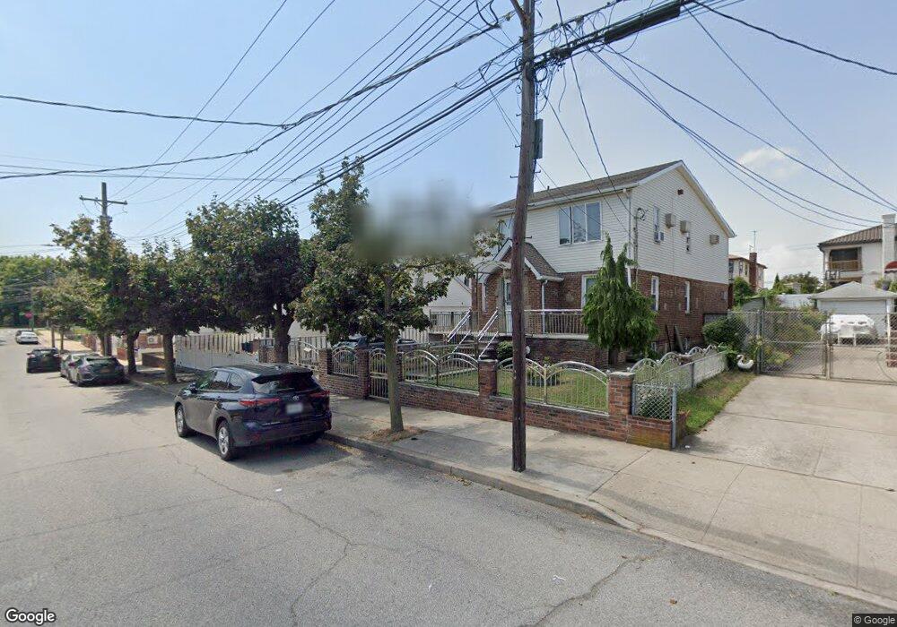
15014 115th St South Ozone Park, NY 11420
South Ozone Park NeighborhoodEstimated Value: $921,465 - $1,263,000
--
Bed
--
Bath
2,262
Sq Ft
$478/Sq Ft
Est. Value
About This Home
This home is located at 15014 115th St, South Ozone Park, NY 11420 and is currently estimated at $1,080,366, approximately $477 per square foot. 15014 115th St is a home located in Queens County with nearby schools including Ps 124 Osmond A Church, J.H.S. 226 Virgil I. Grisson, and John Adams High School.
Ownership History
Date
Name
Owned For
Owner Type
Purchase Details
Closed on
Aug 20, 1999
Sold by
Raghunath Ishwardat
Bought by
Roosevelt Svgs Bank
Current Estimated Value
Purchase Details
Closed on
May 26, 1995
Sold by
Payawal Armando C and Payawal Rosalinda T
Bought by
Dindial Patrick and Dindial Rajpati
Home Financials for this Owner
Home Financials are based on the most recent Mortgage that was taken out on this home.
Original Mortgage
$130,400
Interest Rate
6.12%
Create a Home Valuation Report for This Property
The Home Valuation Report is an in-depth analysis detailing your home's value as well as a comparison with similar homes in the area
Home Values in the Area
Average Home Value in this Area
Purchase History
| Date | Buyer | Sale Price | Title Company |
|---|---|---|---|
| Roosevelt Svgs Bank | $1,000 | -- | |
| Dindial Patrick | $163,000 | Commonwealth Land Title Ins |
Source: Public Records
Mortgage History
| Date | Status | Borrower | Loan Amount |
|---|---|---|---|
| Previous Owner | Dindial Patrick | $130,400 |
Source: Public Records
Tax History Compared to Growth
Tax History
| Year | Tax Paid | Tax Assessment Tax Assessment Total Assessment is a certain percentage of the fair market value that is determined by local assessors to be the total taxable value of land and additions on the property. | Land | Improvement |
|---|---|---|---|---|
| 2025 | $4,694 | $54,346 | $10,170 | $44,176 |
| 2024 | $4,799 | $54,346 | $12,181 | $42,165 |
| 2023 | $10,048 | $53,827 | $10,362 | $43,465 |
| 2022 | $4,420 | $63,540 | $13,260 | $50,280 |
| 2021 | $4,392 | $55,620 | $13,260 | $42,360 |
| 2020 | $4,134 | $49,560 | $13,260 | $36,300 |
| 2019 | $4,078 | $46,140 | $13,260 | $32,880 |
| 2018 | $3,913 | $44,856 | $11,027 | $33,829 |
| 2017 | $3,676 | $42,404 | $11,729 | $30,675 |
| 2016 | $3,378 | $42,404 | $11,729 | $30,675 |
| 2015 | $4,794 | $37,740 | $14,700 | $23,040 |
| 2014 | $4,794 | $37,740 | $14,700 | $23,040 |
Source: Public Records
Map
Nearby Homes
- 150-24 117th St
- 149-27 114th St
- 11512 135th Ave
- 11514 135th Ave
- 117-10 135th Ave
- 12104 150th Ave
- 13336 114th Place
- 12114 149th Ave
- 121-14 149 Ave
- 133-24 118th St
- 135-28 122nd St
- 150-33 Hawtree St
- 150-29 Hawtree St
- 150-25 Hawtree St
- 130-55 116th St
- 150-21 Hawtree St
- 150-17 Hawtree St
- 150-15 Hawtree St
- 157-11 101st St
- 13512 122nd Place
- 15018 115th St
- 11436 150th Ave
- 11436 150th Ave
- 11436 150th Ave Unit 2nd Fl
- 11432 150th Ave
- 15024 115th St
- 15011 114th Place
- 15017 114th Place
- 11426 150th Ave
- 15028 115th St
- 15021 114th Place
- 150-15 115th St Unit 1st Floor
- 11422 150th Ave
- 11504 150th Ave
- 15011 115th St
- 15015 115th St
- 15027 114th Place
- 15030 115th St
- 15019 115th St
- 15023 115th St