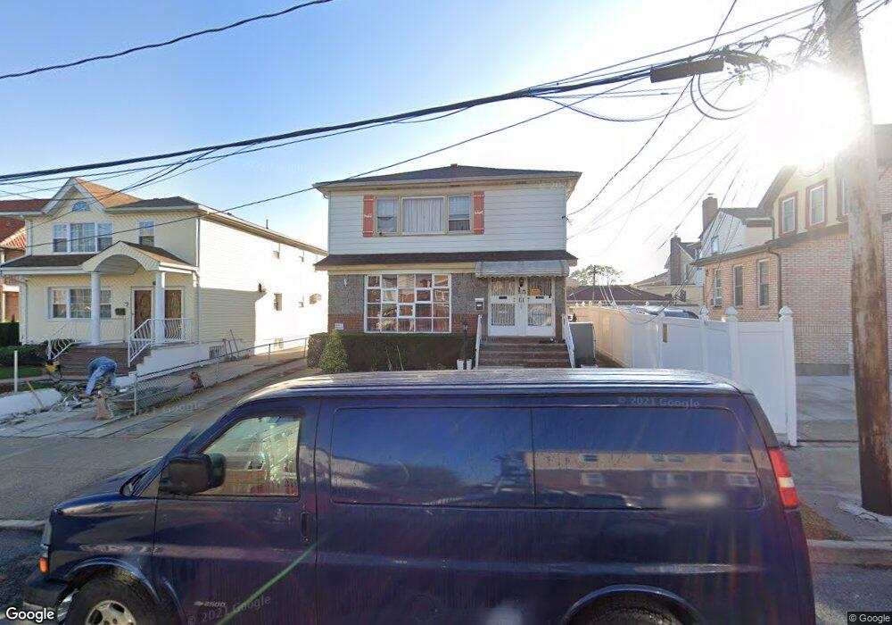
15015 121st St South Ozone Park, NY 11420
South Ozone Park NeighborhoodEstimated Value: $950,163 - $1,303,000
--
Bed
--
Bath
2,496
Sq Ft
$476/Sq Ft
Est. Value
About This Home
This home is located at 15015 121st St, South Ozone Park, NY 11420 and is currently estimated at $1,189,291, approximately $476 per square foot. 15015 121st St is a home located in Queens County with nearby schools including Ps 124 Osmond A Church, J.H.S. 226 Virgil I. Grisson, and John Adams High School.
Ownership History
Date
Name
Owned For
Owner Type
Purchase Details
Closed on
Feb 14, 1996
Sold by
Mastrion Florence
Bought by
Jagoo Dave and Jagoo Stella
Current Estimated Value
Home Financials for this Owner
Home Financials are based on the most recent Mortgage that was taken out on this home.
Original Mortgage
$200,000
Outstanding Balance
$6,538
Interest Rate
7%
Estimated Equity
$1,182,753
Create a Home Valuation Report for This Property
The Home Valuation Report is an in-depth analysis detailing your home's value as well as a comparison with similar homes in the area
Home Values in the Area
Average Home Value in this Area
Purchase History
| Date | Buyer | Sale Price | Title Company |
|---|---|---|---|
| Jagoo Dave | $255,000 | Commonwealth Land Title Ins |
Source: Public Records
Mortgage History
| Date | Status | Borrower | Loan Amount |
|---|---|---|---|
| Open | Jagoo Dave | $200,000 |
Source: Public Records
Tax History Compared to Growth
Tax History
| Year | Tax Paid | Tax Assessment Tax Assessment Total Assessment is a certain percentage of the fair market value that is determined by local assessors to be the total taxable value of land and additions on the property. | Land | Improvement |
|---|---|---|---|---|
| 2025 | $8,512 | $46,406 | $6,208 | $40,198 |
| 2024 | $4,127 | $43,780 | $7,016 | $36,764 |
| 2023 | $8,015 | $41,303 | $6,379 | $34,924 |
| 2022 | $7,492 | $58,980 | $10,740 | $48,240 |
| 2021 | $7,904 | $50,760 | $10,740 | $40,020 |
| 2020 | $7,890 | $47,220 | $10,740 | $36,480 |
| 2019 | $7,339 | $40,440 | $10,740 | $29,700 |
| 2018 | $6,719 | $34,419 | $9,127 | $25,292 |
| 2017 | $6,320 | $32,472 | $8,901 | $23,571 |
| 2016 | $6,182 | $32,472 | $8,901 | $23,571 |
| 2015 | $3,475 | $32,227 | $10,115 | $22,112 |
| 2014 | $3,475 | $30,403 | $9,680 | $20,723 |
Source: Public Records
Map
Nearby Homes
- 12104 150th Ave
- 12114 149th Ave
- 121-14 149 Ave
- 149-34 Lefferts Blvd
- 135-28 122nd St
- 12403 152nd Ave
- 150-24 117th St
- 135-56 124th St
- 124-19 152nd Ave
- 13512 122nd Place
- 135-47 124th St
- 135-43 124th St
- 135-42 124th St
- 125-15 152nd Ave
- 126-02 150th Ave
- 13344 122nd St
- 117-10 135th Ave
- 133-50 123rd St
- 11514 135th Ave
- 11512 135th Ave
- 15011 121st St
- 12105 N Conduit Ave
- 12101 N Conduit Ave
- 12101 N Conduit Ave
- 12107 N Conduit Ave
- 15018 122nd St
- 15014 122nd St
- 12108 150th Ave
- 12108 150th Ave
- 121-04 150th Ave
- 12112 150th Ave
- 15026 122nd St
- 12019 N Conduit Ave
- 12116 150th Ave
- 120-19 N Conduit Ave
- 15012 121st St
- 15012 121st St Unit 2nd Fl
- 150-12 121st St
- 15012 121st St
- 12120 150th Ave