15017 Maxey Hill Rd Mulberry, AR 72947
Estimated Value: $198,000 - $279,849
--
Bed
2
Baths
2,182
Sq Ft
$114/Sq Ft
Est. Value
About This Home
This home is located at 15017 Maxey Hill Rd, Mulberry, AR 72947 and is currently estimated at $248,616, approximately $113 per square foot. 15017 Maxey Hill Rd is a home located in Crawford County with nearby schools including Marvin Primary School, Pleasant View Junior High School, and Mulberry High School.
Ownership History
Date
Name
Owned For
Owner Type
Purchase Details
Closed on
Apr 20, 2025
Sold by
Patterson Philip and Cuff Sondra
Bought by
Patterson Philip and Cuff Sondra
Current Estimated Value
Purchase Details
Closed on
Jan 13, 2012
Sold by
Secretary Of Hud
Bought by
Patterson Philip
Home Financials for this Owner
Home Financials are based on the most recent Mortgage that was taken out on this home.
Original Mortgage
$89,179
Interest Rate
3.75%
Mortgage Type
FHA
Purchase Details
Closed on
Aug 31, 2010
Sold by
U S Bank Na
Bought by
Secretary Of Hud
Purchase Details
Closed on
Sep 22, 2009
Sold by
Brown Ruthanne
Bought by
Jones Connie J
Home Financials for this Owner
Home Financials are based on the most recent Mortgage that was taken out on this home.
Original Mortgage
$140,350
Interest Rate
5.36%
Mortgage Type
FHA
Create a Home Valuation Report for This Property
The Home Valuation Report is an in-depth analysis detailing your home's value as well as a comparison with similar homes in the area
Home Values in the Area
Average Home Value in this Area
Purchase History
| Date | Buyer | Sale Price | Title Company |
|---|---|---|---|
| Patterson Philip | -- | None Listed On Document | |
| Patterson Philip | -- | None Available | |
| Secretary Of Hud | -- | -- | |
| Jones Connie J | $143,000 | -- |
Source: Public Records
Mortgage History
| Date | Status | Borrower | Loan Amount |
|---|---|---|---|
| Previous Owner | Patterson Philip | $89,179 | |
| Previous Owner | Jones Connie J | $140,350 |
Source: Public Records
Tax History Compared to Growth
Tax History
| Year | Tax Paid | Tax Assessment Tax Assessment Total Assessment is a certain percentage of the fair market value that is determined by local assessors to be the total taxable value of land and additions on the property. | Land | Improvement |
|---|---|---|---|---|
| 2024 | $1,089 | $46,580 | $3,500 | $43,080 |
| 2023 | $1,092 | $46,580 | $3,500 | $43,080 |
| 2022 | $1,070 | $30,610 | $2,500 | $28,110 |
| 2021 | $963 | $30,610 | $2,500 | $28,110 |
| 2020 | $963 | $30,610 | $2,500 | $28,110 |
| 2019 | $949 | $30,610 | $2,500 | $28,110 |
| 2018 | $914 | $30,610 | $2,500 | $28,110 |
| 2017 | $85 | $27,540 | $2,500 | $25,040 |
| 2016 | $85 | $27,540 | $2,500 | $25,040 |
| 2015 | $854 | $27,540 | $2,500 | $25,040 |
| 2014 | $854 | $27,540 | $2,500 | $25,040 |
Source: Public Records
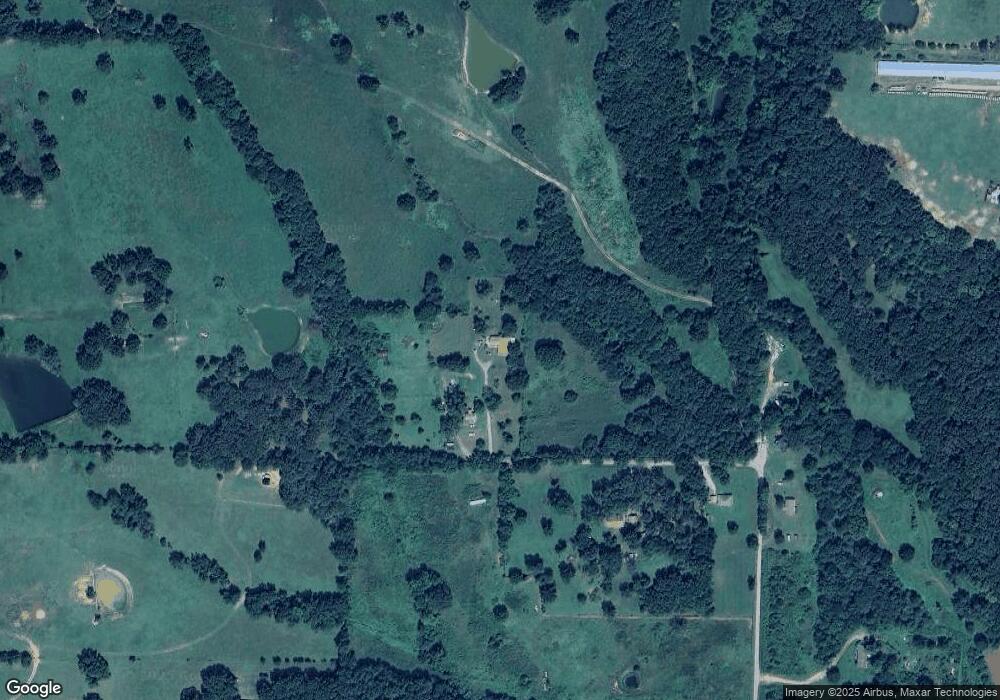
Map
Nearby Homes
- 6621 Arkansas 215
- 001 Gin Town Rd
- 206 & 216 W 5th St
- 5527 Wire Rd
- TBD Copper Oak Rd
- TBD Duncan Rd
- 9643 Wire Rd
- TBD Plymouth Rd
- 2150 Old Graphic St
- 8500 Rock Creek Rd
- TBD Piney Rd
- 1046 Pleasant Hill Rd
- TBD Mulberry Wire Rd
- 2034 Mulberry Wire Rd
- 9943 Rough Branch Rd
- 770 Church Ave
- 10110 Booth Rd
- 101 Reynolds St
- 519 Church Ave
- 206 W 5th St
- 15017 Maxey Hill Rd
- 15011 Maxey Hill Rd
- 15214 Maxey Hill Rd
- 15220 Maxey Hill Rd
- 15301 Maxey Hill Rd
- 15311 Maxey Hill Rd
- 15620 Maxey Hill Rd
- 6414 Miller Branch Place
- 15509 Maxey Hill Rd
- 7103 Highway 215
- 6317 Highway 215
- 6721 Highway 215
- 6621 Highway 215
- 6611 Highway 215
- 6720 Highway 215
- 6461 Highway 215
- 7102 Highway 215
- 6338 Highway 215
- 7324 Highway 215
- 7423 Highway 215