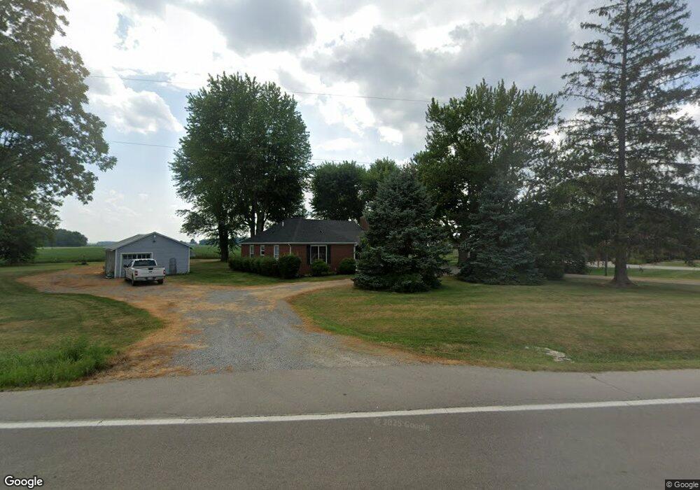
15018 State Route 116 van Wert, OH 45891
Estimated Value: $209,000 - $244,000
2
Beds
2
Baths
1,512
Sq Ft
$149/Sq Ft
Est. Value
About This Home
This home is located at 15018 State Route 116, van Wert, OH 45891 and is currently estimated at $225,669, approximately $149 per square foot. 15018 State Route 116 is a home located in Van Wert County with nearby schools including Lincolnview Elementary School, Lincolnview Junior/Senior High School, and Lifelinks Community School.
Ownership History
Date
Name
Owned For
Owner Type
Purchase Details
Closed on
Apr 2, 2024
Sold by
Seir Rental Llc
Bought by
Vorst Elizabeth P
Current Estimated Value
Home Financials for this Owner
Home Financials are based on the most recent Mortgage that was taken out on this home.
Original Mortgage
$156,150
Outstanding Balance
$150,735
Interest Rate
6.88%
Mortgage Type
New Conventional
Estimated Equity
$74,934
Purchase Details
Closed on
Apr 17, 2017
Sold by
Hillery Michael J and Acheson Cheryl A
Bought by
Seir Rental Llc
Create a Home Valuation Report for This Property
The Home Valuation Report is an in-depth analysis detailing your home's value as well as a comparison with similar homes in the area
Home Values in the Area
Average Home Value in this Area
Purchase History
| Date | Buyer | Sale Price | Title Company |
|---|---|---|---|
| Vorst Elizabeth P | $173,500 | None Listed On Document | |
| Seir Rental Llc | $71,000 | Attorney |
Source: Public Records
Mortgage History
| Date | Status | Borrower | Loan Amount |
|---|---|---|---|
| Open | Vorst Elizabeth P | $156,150 |
Source: Public Records
Tax History Compared to Growth
Tax History
| Year | Tax Paid | Tax Assessment Tax Assessment Total Assessment is a certain percentage of the fair market value that is determined by local assessors to be the total taxable value of land and additions on the property. | Land | Improvement |
|---|---|---|---|---|
| 2024 | $1,473 | $47,460 | $10,940 | $36,520 |
| 2023 | $1,473 | $47,460 | $10,940 | $36,520 |
| 2022 | $1,553 | $35,800 | $8,480 | $27,320 |
| 2021 | $1,563 | $35,800 | $8,480 | $27,320 |
| 2020 | $1,533 | $35,800 | $8,480 | $27,320 |
| 2019 | $1,233 | $31,110 | $7,710 | $23,400 |
| 2018 | $1,218 | $31,110 | $7,710 | $23,400 |
| 2017 | $964 | $31,110 | $7,710 | $23,400 |
| 2016 | $706 | $29,610 | $7,760 | $21,850 |
| 2015 | $689 | $29,610 | $7,760 | $21,850 |
| 2014 | $715 | $29,610 | $7,760 | $21,850 |
| 2013 | $854 | $29,610 | $7,760 | $21,850 |
Source: Public Records
Map
Nearby Homes
- 14162 Overholt Rd
- 1236 E Ervin Rd
- 1233 E Ervin Rd
- TBD Mendon Rd
- 1143 E Ervin Rd
- 13945 Lincoln Hwy
- 703 Perry St
- 825 S Race St
- 529 S Tyler St
- 12242 Dustman Rd
- 1060 1056 S Washington St
- 222 S Harrison St
- 919 E Sycamore St
- 502 E Central Ave
- 205 N Chestnut St
- 1040 Elm St
- 142 E Raymond St
- 1120 Park St
- 631 S Washington St
- 941 Elm St
- 15018 Ohio 116
- 14990 State Route 116
- 14950 State Route 116
- TBD State Route 116
- TBD Sr 116
- TBD Sr 116
- 11207 Poe Rd
- 11275 Poe Rd
- 11216 Poe Rd
- 15223 State Route 116
- 11320 Poe Rd
- 11010 Rogers Rd
- 10999 Rogers Rd
- 10986 Rogers Rd
- 10960 Rogers Rd
- 14752 State Route 116
- 10886 Rogers Rd
- TBD Rogers Rd
- 14659 State Route 116
- 15442 State Route 116