1502 Jonathans Ct Plover, WI 54467
Estimated Value: $158,000 - $200,000
2
Beds
--
Bath
1,130
Sq Ft
$152/Sq Ft
Est. Value
About This Home
This home is located at 1502 Jonathans Ct, Plover, WI 54467 and is currently estimated at $171,492, approximately $151 per square foot. 1502 Jonathans Ct is a home located in Portage County with nearby schools including Plover-Whiting Elementary School, Benjamin Franklin Junior High School, and Stevens Point Area Senior High School.
Ownership History
Date
Name
Owned For
Owner Type
Purchase Details
Closed on
Jun 30, 2022
Sold by
Johnson Eric R
Bought by
Nts Investments Llc
Current Estimated Value
Home Financials for this Owner
Home Financials are based on the most recent Mortgage that was taken out on this home.
Original Mortgage
$103,000
Outstanding Balance
$97,281
Interest Rate
5.25%
Mortgage Type
Seller Take Back
Estimated Equity
$74,211
Create a Home Valuation Report for This Property
The Home Valuation Report is an in-depth analysis detailing your home's value as well as a comparison with similar homes in the area
Home Values in the Area
Average Home Value in this Area
Purchase History
| Date | Buyer | Sale Price | Title Company |
|---|---|---|---|
| Nts Investments Llc | $110,000 | Guaranty Title |
Source: Public Records
Mortgage History
| Date | Status | Borrower | Loan Amount |
|---|---|---|---|
| Open | Nts Investments Llc | $103,000 |
Source: Public Records
Tax History
| Year | Tax Paid | Tax Assessment Tax Assessment Total Assessment is a certain percentage of the fair market value that is determined by local assessors to be the total taxable value of land and additions on the property. | Land | Improvement |
|---|---|---|---|---|
| 2025 | $1,765 | $96,800 | $26,500 | $70,300 |
| 2024 | $17 | $96,800 | $26,500 | $70,300 |
| 2023 | $1,408 | $96,800 | $26,500 | $70,300 |
| 2022 | $1,409 | $96,800 | $26,500 | $70,300 |
| 2021 | $2,047 | $91,600 | $12,500 | $79,100 |
| 2020 | $2,107 | $91,600 | $12,500 | $79,100 |
| 2019 | $2,020 | $91,600 | $12,500 | $79,100 |
| 2018 | $1,913 | $91,600 | $12,500 | $79,100 |
| 2017 | $1,761 | $91,600 | $12,500 | $79,100 |
| 2016 | $1,727 | $91,600 | $12,500 | $79,100 |
| 2015 | $1,764 | $91,600 | $12,500 | $79,100 |
| 2014 | $1,734 | $91,600 | $12,500 | $79,100 |
Source: Public Records
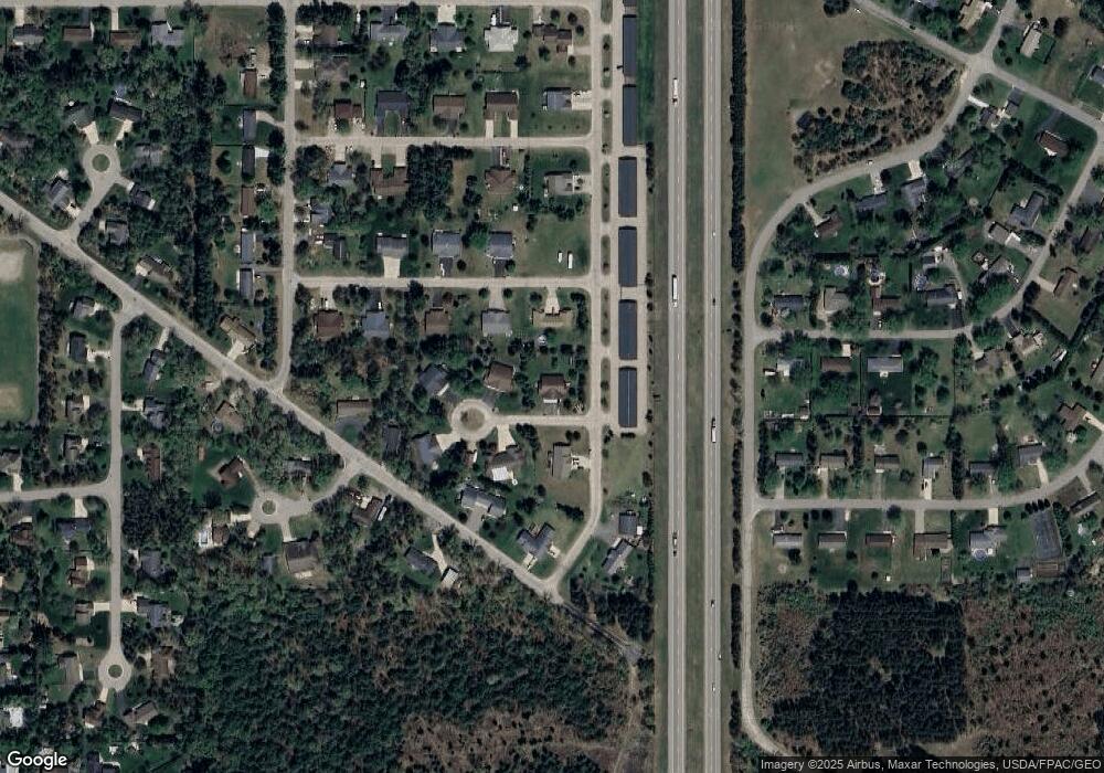
Map
Nearby Homes
- 1600 Dennis Dr
- 1500 Brookshire Dr
- 1031-1033 Fred's Ct
- 1011 Melody Ln
- 1855 Whitewater Cove
- 66.81 Acres Porter Dr
- 1831 Waterview Cove
- 2110 E Breezewood Ct
- 1301 Spruce Dr
- 840 Ramble Ln
- 0 County Road R Unit 22203659
- 36.20 Acres Brentwood Dr
- 10 Acres Brentwood Dr
- 600 7th St
- 262 White Oak Ave
- 2710 Porter Rd
- 1821 Post Rd
- 3017 1st St
- 3019 1st St
- 2906 Post Rd
- 1520 Jonathans Ct
- 1511 Jonathans Ct
- 1500 Jonathans Ct
- 1513 Jonathans Ct
- 1523 Jonathans Ct
- 1521 Jonathans Ct
- 1522 Jonathans Ct
- 1512 Jonathans Ct
- 1511 Jonathan's Ct
- 1510 Jonathan's Ct
- 1551 Jonathan's Ct
- 1500 Airline Rd
- 1502 Airline Rd
- 1510 Airline Rd
- 1603 Dennis Dr
- 1521 Dennis Dr
- 1511 Dennis Dr
- 1501 Dennis Dr
- 1512 Dennis Dr
- 1522 Dennis Dr
Your Personal Tour Guide
Ask me questions while you tour the home.