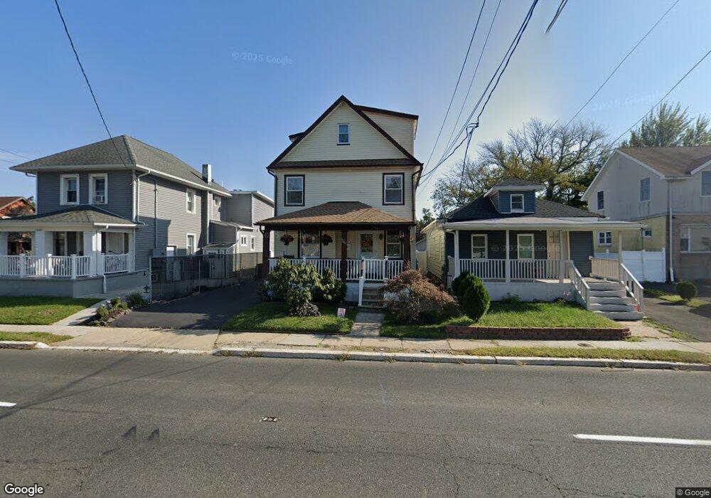
1502 State Route 33 Neptune, NJ 07753
Estimated Value: $477,000 - $578,000
4
Beds
2
Baths
1,769
Sq Ft
$296/Sq Ft
Est. Value
About This Home
This home is located at 1502 State Route 33, Neptune, NJ 07753 and is currently estimated at $522,823, approximately $295 per square foot. 1502 State Route 33 is a home located in Monmouth County with nearby schools including Neptune High School, Hope Academy Charter School, and St. Rose Grammar School.
Ownership History
Date
Name
Owned For
Owner Type
Purchase Details
Closed on
Jun 16, 2017
Sold by
Etienne Gabelita and Baptiste Marie A
Bought by
Etienne David and Etienne Gabelita
Current Estimated Value
Home Financials for this Owner
Home Financials are based on the most recent Mortgage that was taken out on this home.
Interest Rate
3.91%
Purchase Details
Closed on
Jun 23, 1988
Bought by
Etienne David and Etienne Gabelita
Create a Home Valuation Report for This Property
The Home Valuation Report is an in-depth analysis detailing your home's value as well as a comparison with similar homes in the area
Home Values in the Area
Average Home Value in this Area
Purchase History
| Date | Buyer | Sale Price | Title Company |
|---|---|---|---|
| Etienne David | -- | -- | |
| Etienne David | $79,000 | -- |
Source: Public Records
Mortgage History
| Date | Status | Borrower | Loan Amount |
|---|---|---|---|
| Closed | Etienne David | -- |
Source: Public Records
Tax History Compared to Growth
Tax History
| Year | Tax Paid | Tax Assessment Tax Assessment Total Assessment is a certain percentage of the fair market value that is determined by local assessors to be the total taxable value of land and additions on the property. | Land | Improvement |
|---|---|---|---|---|
| 2025 | $7,962 | $471,000 | $221,800 | $249,200 |
| 2024 | $7,562 | $454,700 | $210,100 | $244,600 |
| 2023 | $7,562 | $418,700 | $160,500 | $258,200 |
| 2022 | $5,621 | $381,900 | $130,000 | $251,900 |
| 2021 | $5,133 | $266,000 | $117,000 | $149,000 |
| 2020 | $5,295 | $250,000 | $108,800 | $141,200 |
| 2019 | $5,133 | $239,300 | $92,200 | $147,100 |
| 2018 | $4,976 | $229,300 | $88,600 | $140,700 |
| 2017 | $5,189 | $229,700 | $94,000 | $135,700 |
| 2016 | $5,155 | $227,600 | $94,000 | $133,600 |
| 2015 | $4,995 | $224,300 | $94,000 | $130,300 |
| 2014 | $3,909 | $144,300 | $40,000 | $104,300 |
Source: Public Records
Map
Nearby Homes
- 1510 8th Ave
- 55 N Route 35 Unit 12A
- 55 New Jersey 35 Unit 7
- 1409 7th Ave
- 207 Drummond Ave
- 200 Drummond Ave
- 142 1/2 5th Ave Unit Residence 205
- 142 1/2 5th Ave Unit Residence 207
- 142 1/2 5th Ave Unit Residence 108
- 142 1/2 5th Ave Unit Residence 402
- 142 1/2 5th Ave Unit Residence 206
- 152 Myrtle Ave
- 45 Ridge Ave
- 1608 Heck Ave
- 1329 6th Ave
- 1501 Cherry Ln
- 1509 Embury Ave
- 152 Division St
- 1601 Heck Ave
- 503 Ridge Ave
- 1502 Corlies Ave
- 1504 Corlies Ave
- 1504 State Route 33
- 1500 Corlies Ave Unit 4
- 1500 Corlies Ave
- 1506 Corlies Ave
- 1506 New Jersey 33
- 1506 New Jersey 33 Unit (AKA: Corlies Avenue
- 1505 10th Ave
- 1508 State Route 33
- 1508 Corlies Ave
- 1507 10th Ave
- 1508 Corlies Ave
- 1503 10th Ave
- 1509 10th Ave
- 1422 State Route 33
- 1422 Corlies Ave
- 1510 State Route 33
- 1511 10th Ave
- 1501 State Route 33