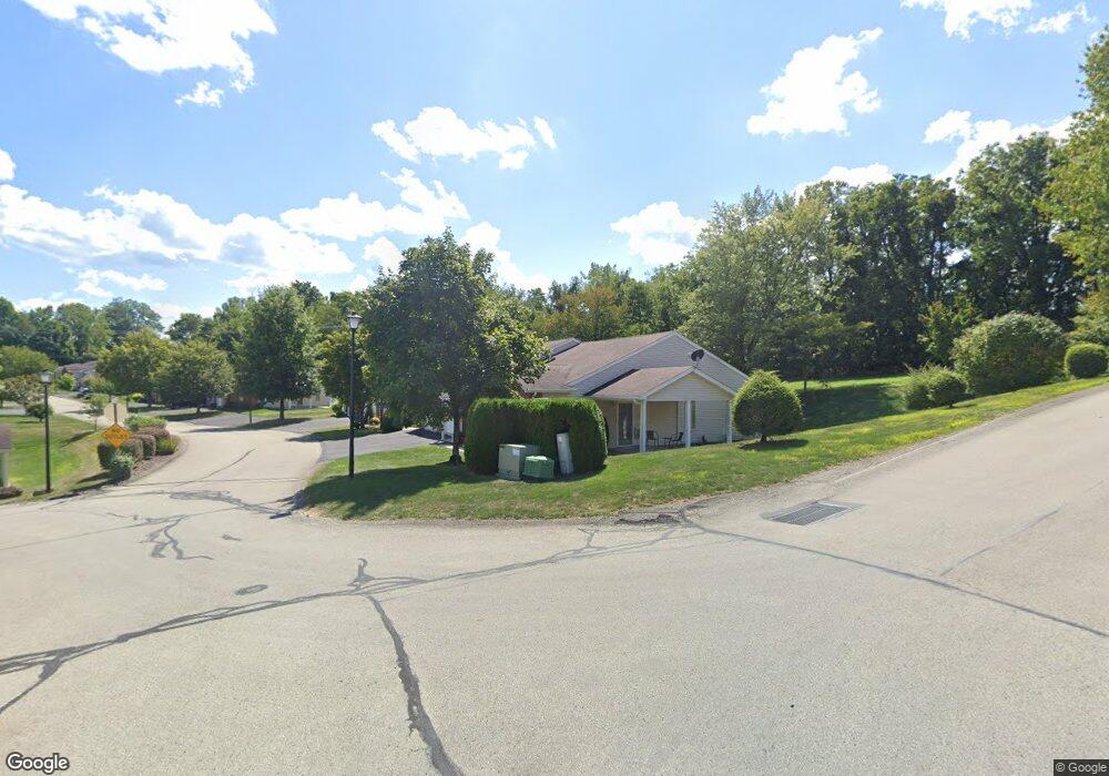
1502 Timothy Dr Latrobe, PA 15650
Estimated Value: $209,000 - $251,824
Studio
--
Bath
1,044
Sq Ft
$213/Sq Ft
Est. Value
About This Home
This home is located at 1502 Timothy Dr, Latrobe, PA 15650 and is currently estimated at $221,956, approximately $212 per square foot. 1502 Timothy Dr is a home located in Westmoreland County with nearby schools including Christ the Divine Teacher School and Grace Bible Academy.
Ownership History
Date
Name
Owned For
Owner Type
Purchase Details
Closed on
Jun 18, 2015
Sold by
Rich Vincent and Rich Bertha H
Bought by
Lamolinara Joanna D
Current Estimated Value
Purchase Details
Closed on
Dec 5, 2012
Sold by
Silvis Duane C
Bought by
Rich Vincent and Rich Bertha H
Create a Home Valuation Report for This Property
The Home Valuation Report is an in-depth analysis detailing your home's value as well as a comparison with similar homes in the area
Home Values in the Area
Average Home Value in this Area
Purchase History
| Date | Buyer | Sale Price | Title Company |
|---|---|---|---|
| Lamolinara Joanna D | $133,900 | None Available | |
| Rich Vincent | $115,000 | None Available |
Source: Public Records
Tax History
| Year | Tax Paid | Tax Assessment Tax Assessment Total Assessment is a certain percentage of the fair market value that is determined by local assessors to be the total taxable value of land and additions on the property. | Land | Improvement |
|---|---|---|---|---|
| 2025 | $2,315 | $18,630 | $2,250 | $16,380 |
| 2024 | $2,315 | $18,630 | $2,250 | $16,380 |
| 2023 | $2,185 | $18,630 | $2,250 | $16,380 |
| 2022 | $2,166 | $18,630 | $2,250 | $16,380 |
| 2021 | $2,166 | $18,630 | $2,250 | $16,380 |
| 2020 | $2,129 | $18,630 | $2,250 | $16,380 |
| 2019 | $2,083 | $18,630 | $2,250 | $16,380 |
| 2018 | $1,989 | $18,630 | $2,250 | $16,380 |
| 2017 | $1,937 | $18,630 | $2,250 | $16,380 |
| 2016 | $1,854 | $18,630 | $2,250 | $16,380 |
| 2015 | $1,854 | $18,630 | $2,250 | $16,380 |
| 2014 | $1,854 | $18,630 | $2,250 | $16,380 |
Source: Public Records
Map
Nearby Homes
- 1512 Timothy Dr
- 920 Abbott St
- 1908 Walnut Dr
- 2101 Walnut Dr
- 215 Richmond St
- 934 Wood St
- 704 Abbott St
- 1248 Oaklawn Dr
- 105 Pandora Rd
- 108 Pandora Rd
- TBD Industrial Blvd
- 1815 Wood St
- 1 Bankie Dr
- 721 Lehmer St
- 701 Fairmont St
- 2023 Sylvan Ave
- 625 Spring St
- 1710 Raymond Ave
- 1505 Raymond Ave
- 1931 Sloan Ave
- 1316 Spring St
- 1504 Timothy Dr
- 1318 Spring St
- 1423 Spring Crest Cir
- 1326 Spring St Unit 1406
- 1482 Spring Crest Cir
- 1506 Timothy Dr
- 1408 Spring St
- 1324 Spring St
- 1324 Spring St Unit 1407
- 1425 Spring Crest Cir
- 1432 Spring Crest Cir
- 1466 Spring Crest Cir Unit 5A
- 1469 Spring Crest Cir Unit 1426
- 1322 Spring St Unit 1408
- 1310 Spring St
- 1463 Spring Crest Cir Unit B9
- 1468 Spring Crest Cir Unit 1418
- 1435 Spring Crest Cir
- 1320 Spring St Unit 1409
Your Personal Tour Guide
Ask me questions while you tour the home.