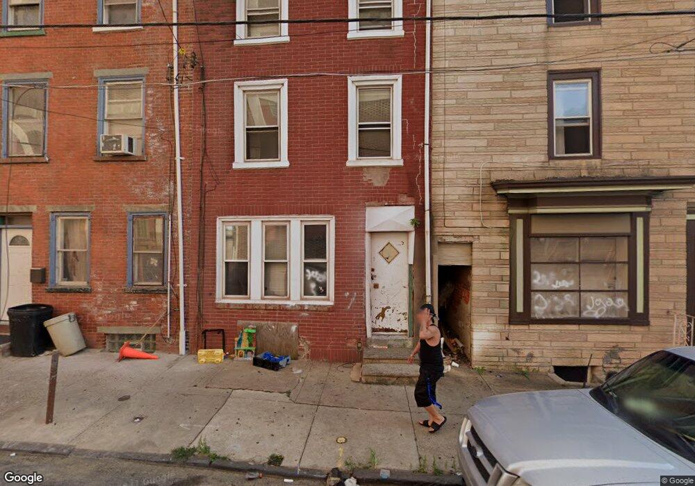
1502 Unity St Philadelphia, PA 19124
Frankford NeighborhoodEstimated Value: $109,000 - $144,118
2
Beds
2
Baths
1,280
Sq Ft
$99/Sq Ft
Est. Value
About This Home
This home is located at 1502 Unity St, Philadelphia, PA 19124 and is currently estimated at $126,530, approximately $98 per square foot. 1502 Unity St is a home located in Philadelphia County with nearby schools including John Marshall School, Harding Warren G Middle School, and Frankford High School.
Ownership History
Date
Name
Owned For
Owner Type
Purchase Details
Closed on
Mar 1, 2023
Sold by
Rowan Joseph
Bought by
Ramos Juanita
Current Estimated Value
Home Financials for this Owner
Home Financials are based on the most recent Mortgage that was taken out on this home.
Original Mortgage
$106,700
Outstanding Balance
$103,108
Interest Rate
6.13%
Mortgage Type
New Conventional
Estimated Equity
$23,422
Purchase Details
Closed on
Jul 1, 2020
Sold by
Montoni Phillip A
Bought by
Rowan Joseph
Purchase Details
Closed on
Nov 17, 2003
Sold by
Barrett Michael F
Bought by
Montoni Philip A
Home Financials for this Owner
Home Financials are based on the most recent Mortgage that was taken out on this home.
Original Mortgage
$43,700
Interest Rate
6.03%
Mortgage Type
Purchase Money Mortgage
Purchase Details
Closed on
Aug 28, 2003
Sold by
Cozza Teresa and Cozza Victor A
Bought by
Barrett Michael F
Create a Home Valuation Report for This Property
The Home Valuation Report is an in-depth analysis detailing your home's value as well as a comparison with similar homes in the area
Home Values in the Area
Average Home Value in this Area
Purchase History
| Date | Buyer | Sale Price | Title Company |
|---|---|---|---|
| Ramos Juanita | $110,000 | -- | |
| Rowan Joseph | $42,000 | Quick Abstract Llc | |
| Montoni Philip A | $46,000 | -- | |
| Barrett Michael F | $26,000 | -- |
Source: Public Records
Mortgage History
| Date | Status | Borrower | Loan Amount |
|---|---|---|---|
| Open | Ramos Juanita | $106,700 | |
| Previous Owner | Montoni Philip A | $43,700 | |
| Closed | Ramos Juanita | $5,500 |
Source: Public Records
Tax History Compared to Growth
Tax History
| Year | Tax Paid | Tax Assessment Tax Assessment Total Assessment is a certain percentage of the fair market value that is determined by local assessors to be the total taxable value of land and additions on the property. | Land | Improvement |
|---|---|---|---|---|
| 2026 | $1,034 | $126,400 | $25,200 | $101,200 |
| 2025 | $1,034 | $126,400 | $25,200 | $101,200 |
| 2024 | $1,034 | $126,400 | $25,200 | $101,200 |
| 2023 | $1,034 | $73,900 | $14,780 | $59,120 |
| 2022 | $820 | $73,900 | $14,780 | $59,120 |
| 2021 | $820 | $0 | $0 | $0 |
| 2020 | $820 | $0 | $0 | $0 |
| 2019 | $788 | $0 | $0 | $0 |
| 2018 | $872 | $0 | $0 | $0 |
| 2017 | $872 | $0 | $0 | $0 |
| 2016 | $872 | $0 | $0 | $0 |
| 2015 | $835 | $0 | $0 | $0 |
| 2014 | -- | $62,300 | $10,306 | $51,994 |
| 2012 | -- | $5,760 | $682 | $5,078 |
Source: Public Records
Map
Nearby Homes
- 1419 Unity St
- 1417 Unity St
- 4328 Leiper St
- 4742 Frankford Ave
- 1424 Sellers St
- 4461 Leiper St
- 1337 Sellers St
- 4405 Frankford Ave
- 1348 Sellers St
- 1319 Church St
- 1361 Sellers St
- 1338-40 Sellers St
- 4361 Frankford Ave
- 4283 Frankford Ave
- 4347 Paul St
- 4431 Oakland St
- 1208 Unity St
- 1501 Womrath St
- 4270 Paul St
- 1519 Womrath St