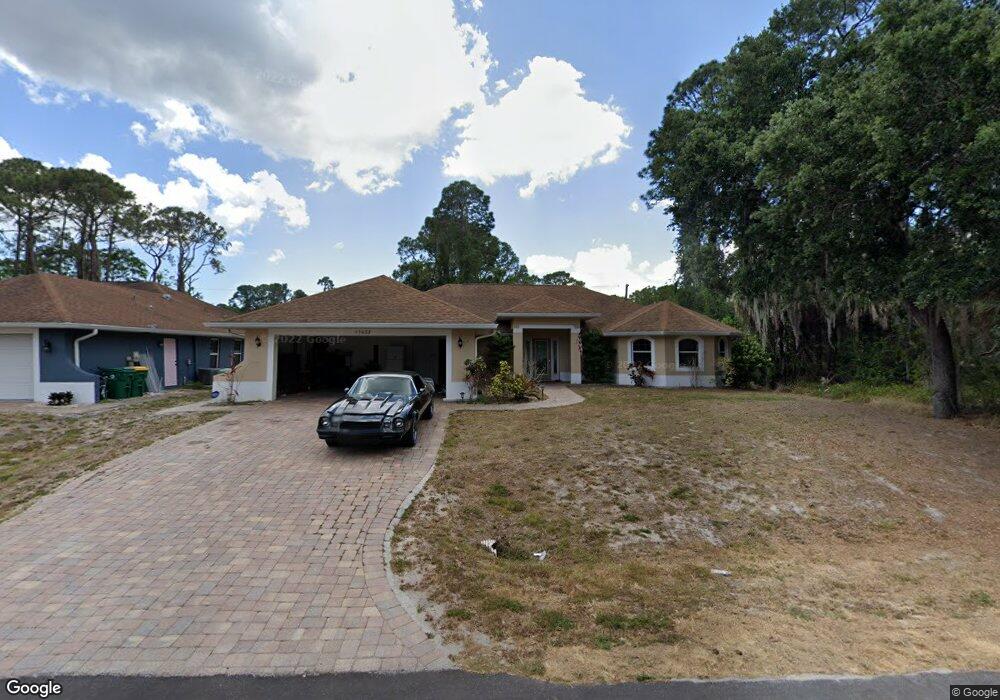
15027 Community Ave Port Charlotte, FL 33953
Northwest Port Charlotte NeighborhoodEstimated Value: $377,000 - $413,000
3
Beds
2
Baths
2,211
Sq Ft
$176/Sq Ft
Est. Value
About This Home
This home is located at 15027 Community Ave, Port Charlotte, FL 33953 and is currently estimated at $389,851, approximately $176 per square foot. 15027 Community Ave is a home located in Charlotte County with nearby schools including Liberty Elementary School, Murdock Middle School, and Port Charlotte High School.
Ownership History
Date
Name
Owned For
Owner Type
Purchase Details
Closed on
Nov 1, 2019
Sold by
Kochetkova Alexandr Livits Irina
Bought by
Newman Mathew and Newman Kaitlin
Current Estimated Value
Home Financials for this Owner
Home Financials are based on the most recent Mortgage that was taken out on this home.
Original Mortgage
$235,653
Outstanding Balance
$207,314
Interest Rate
3.6%
Mortgage Type
FHA
Estimated Equity
$182,537
Purchase Details
Closed on
Apr 29, 2005
Sold by
Lutsenko Peter and Lutsenko Vera
Bought by
Livits Alexandr and Kochetkova Irina
Create a Home Valuation Report for This Property
The Home Valuation Report is an in-depth analysis detailing your home's value as well as a comparison with similar homes in the area
Home Values in the Area
Average Home Value in this Area
Purchase History
| Date | Buyer | Sale Price | Title Company |
|---|---|---|---|
| Newman Mathew | $240,000 | Attorney | |
| Livits Alexandr | $32,900 | American United Title Co Inc |
Source: Public Records
Mortgage History
| Date | Status | Borrower | Loan Amount |
|---|---|---|---|
| Open | Newman Mathew | $235,653 |
Source: Public Records
Tax History Compared to Growth
Tax History
| Year | Tax Paid | Tax Assessment Tax Assessment Total Assessment is a certain percentage of the fair market value that is determined by local assessors to be the total taxable value of land and additions on the property. | Land | Improvement |
|---|---|---|---|---|
| 2023 | $4,033 | $245,657 | $0 | $0 |
| 2022 | $3,900 | $238,502 | $0 | $0 |
| 2021 | $3,904 | $231,555 | $4,675 | $226,880 |
| 2020 | $4,425 | $223,687 | $4,675 | $219,012 |
| 2019 | $4,334 | $219,356 | $4,675 | $214,681 |
| 2018 | $3,994 | $211,974 | $4,250 | $207,724 |
| 2017 | $4,004 | $215,665 | $3,808 | $211,857 |
| 2016 | $3,727 | $186,760 | $0 | $0 |
| 2015 | $3,434 | $169,782 | $0 | $0 |
| 2014 | $3,249 | $164,761 | $0 | $0 |
Source: Public Records
Map
Nearby Homes
- 730 Lomond Dr
- 14458 Bulger Ave
- 15082 Community Ave
- 15035 Buswell Ave
- 618 Lomond Dr
- 15106 Gulistan Ave
- 15098 Gulistan Ave
- 15152 Gulistan Ave
- 15160 Buswell Ave
- 15074 Faulkner Ave
- 1072 Cabot St
- 14422 Chamberlain Blvd
- 14435 Grenoble Ave
- 1105 Cabot St
- 1234 Lotus St
- 15248 Malcolm Ave
- 14409 Chamberlain Blvd
- 1112 Cornelius Blvd
- 363 Fountain St
- 951 Clearview Dr
- 15035 Community Ave
- 15034 Buswell Ave
- 15018 Buswell Ave
- 15034 Community Ave
- 15042 Buswell Ave
- 15010 Community Ave
- 15042 Community Ave
- 15050 Buswell Ave
- 15027 Buswell Ave
- 15050 Community Ave
- 772 Clearview Dr
- 15019 Buswell Ave
- 15043 Buswell Ave
- 15058 Buswell Ave
- 446 Cornelius Blvd
- 15011 Buswell Ave
- 483 Cornelius Blvd
- 475 Cornelius Blvd
- 740 Clearview Dr
- 491 Cornelius Blvd