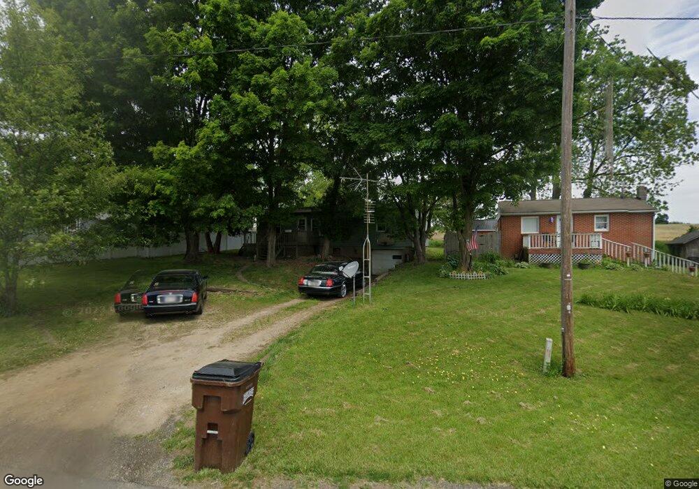
15027 Wooster Rd Mount Vernon, OH 43050
Estimated Value: $148,000 - $185,000
3
Beds
1
Bath
1,104
Sq Ft
$148/Sq Ft
Est. Value
About This Home
This home is located at 15027 Wooster Rd, Mount Vernon, OH 43050 and is currently estimated at $162,918, approximately $147 per square foot. 15027 Wooster Rd is a home located in Knox County with nearby schools including Mount Vernon High School.
Ownership History
Date
Name
Owned For
Owner Type
Purchase Details
Closed on
Oct 9, 2024
Sold by
Durbin Andrew Clifton and Durbin Andy
Bought by
Martinsburg Cattle Series 2
Current Estimated Value
Purchase Details
Closed on
May 28, 2009
Sold by
Hsbc Mortgage Services Inc
Bought by
Durbin Andrew
Purchase Details
Closed on
May 19, 2009
Sold by
Coons Daniel P and Coons Kathryn L
Bought by
Hsbc Mortgage Services Inc
Purchase Details
Closed on
Jun 7, 1993
Bought by
Coons Daniel P and Coons Kathryn L
Purchase Details
Closed on
Mar 4, 1993
Sold by
Leach Laverne L and Leach Loraine
Bought by
City Loan Financial
Create a Home Valuation Report for This Property
The Home Valuation Report is an in-depth analysis detailing your home's value as well as a comparison with similar homes in the area
Home Values in the Area
Average Home Value in this Area
Purchase History
| Date | Buyer | Sale Price | Title Company |
|---|---|---|---|
| Martinsburg Cattle Series 2 | -- | None Listed On Document | |
| Martinsburg Cattle Series 2 | -- | None Listed On Document | |
| Durbin Andrew | $15,000 | None Available | |
| Hsbc Mortgage Services Inc | $24,667 | None Available | |
| Coons Daniel P | $26,000 | -- | |
| City Loan Financial | -- | -- |
Source: Public Records
Tax History Compared to Growth
Tax History
| Year | Tax Paid | Tax Assessment Tax Assessment Total Assessment is a certain percentage of the fair market value that is determined by local assessors to be the total taxable value of land and additions on the property. | Land | Improvement |
|---|---|---|---|---|
| 2024 | $1,205 | $27,710 | $6,660 | $21,050 |
| 2023 | $1,205 | $27,710 | $6,660 | $21,050 |
| 2022 | $904 | $19,100 | $4,590 | $14,510 |
| 2021 | $904 | $19,100 | $4,590 | $14,510 |
| 2020 | $882 | $19,100 | $4,590 | $14,510 |
| 2019 | $820 | $16,450 | $4,600 | $11,850 |
| 2018 | $821 | $16,450 | $4,600 | $11,850 |
| 2017 | $809 | $16,450 | $4,600 | $11,850 |
| 2016 | $754 | $15,230 | $4,260 | $10,970 |
| 2015 | $757 | $15,230 | $4,260 | $10,970 |
| 2014 | $761 | $15,230 | $4,260 | $10,970 |
| 2013 | $806 | $15,580 | $4,010 | $11,570 |
Source: Public Records
Map
Nearby Homes
- 14702 Wooster Rd
- 14499 Wooster Rd
- 17970 Scott Rd
- 0 N Liberty Rd
- 14914 N Liberty Rd
- 13999 Wooster Rd
- 14021 Gilchrist Rd
- 13618 Gilchrist Rd
- 15770 Pleasant View Rd
- 12627 Upper Gilchrist Rd
- 15745 Lower Fredericktown Amity Rd
- 1737 Vernonview Dr
- 0 Hyatt Rd
- 188 Plymouth Rd
- 0 Crooked St
- 117 Colonial Woods Dr
- 104 Colonial Woods Dr Unit 4
- 14021 Old Mansfield Rd
- 0 Indian Hills Rd
- 14835 Indian Hills Rd
- 15019 Wooster Rd
- 15043 Wooster Rd
- 15063 Wooster Rd
- 15010 Wooster Rd
- 15091 Wooster Rd
- 17761 Scott Rd
- 14919 Wooster Rd
- 15121 Wooster Rd
- 15132 Carson Rd
- 15122 Wooster Rd
- 15135 Wooster Rd
- 17880 Scott Rd
- 15101 Carson Rd
- 15240 Carson Rd
- 17939 Scott Rd
- 17939 Scott Rd
- 15310 Carson Rd
- 15182 Wooster Rd
- 15182 Wooster Rd