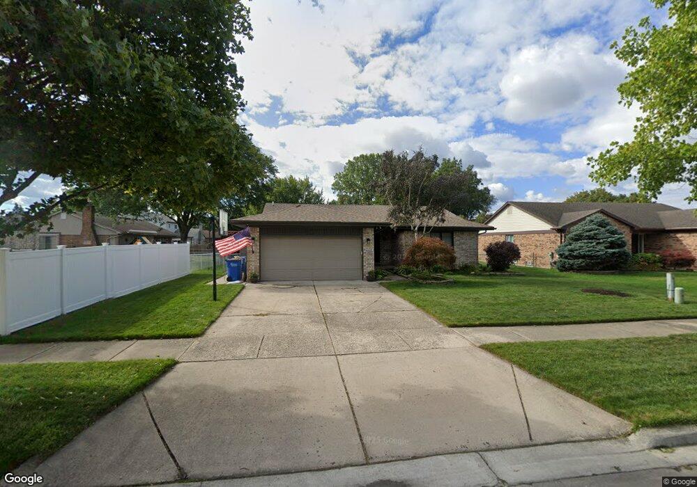
15028 Lane Dr Warren, MI 48088
Northeast Warren NeighborhoodEstimated Value: $275,000 - $309,000
3
Beds
2
Baths
1,366
Sq Ft
$213/Sq Ft
Est. Value
About This Home
This home is located at 15028 Lane Dr, Warren, MI 48088 and is currently estimated at $291,392, approximately $213 per square foot. 15028 Lane Dr is a home located in Macomb County with nearby schools including Warren Woods Tower High School, Warren Woods Christian School, and De La Salle Collegiate.
Ownership History
Date
Name
Owned For
Owner Type
Purchase Details
Closed on
Mar 27, 2006
Sold by
Bowl David L
Bought by
Bowl Beth A and Stec Beth A
Current Estimated Value
Home Financials for this Owner
Home Financials are based on the most recent Mortgage that was taken out on this home.
Original Mortgage
$135,000
Outstanding Balance
$77,490
Interest Rate
6.34%
Mortgage Type
Fannie Mae Freddie Mac
Estimated Equity
$213,902
Purchase Details
Closed on
Apr 18, 1997
Sold by
Birnie C and Birnie D
Bought by
Bowl D
Create a Home Valuation Report for This Property
The Home Valuation Report is an in-depth analysis detailing your home's value as well as a comparison with similar homes in the area
Home Values in the Area
Average Home Value in this Area
Purchase History
| Date | Buyer | Sale Price | Title Company |
|---|---|---|---|
| Bowl Beth A | $18,415 | The Nova Title Agency Llc | |
| Bowl D | $135,000 | -- |
Source: Public Records
Mortgage History
| Date | Status | Borrower | Loan Amount |
|---|---|---|---|
| Open | Bowl Beth A | $135,000 |
Source: Public Records
Tax History Compared to Growth
Tax History
| Year | Tax Paid | Tax Assessment Tax Assessment Total Assessment is a certain percentage of the fair market value that is determined by local assessors to be the total taxable value of land and additions on the property. | Land | Improvement |
|---|---|---|---|---|
| 2025 | $3,483 | $135,120 | $0 | $0 |
| 2024 | $3,385 | $112,990 | $0 | $0 |
| 2023 | $3,198 | $110,680 | $0 | $0 |
| 2022 | $3,135 | $92,430 | $0 | $0 |
| 2021 | $3,077 | $84,460 | $0 | $0 |
| 2020 | $2,948 | $83,520 | $0 | $0 |
| 2019 | $2,817 | $77,080 | $0 | $0 |
| 2018 | $2,845 | $73,570 | $0 | $0 |
| 2017 | $2,691 | $73,190 | $12,440 | $60,750 |
| 2016 | $2,670 | $73,190 | $0 | $0 |
| 2015 | -- | $65,650 | $0 | $0 |
| 2013 | $2,579 | $50,470 | $0 | $0 |
Source: Public Records
Map
Nearby Homes
- 15225 Common Rd
- 29448 El Dorado Plaza
- 15102 Raphael Terrace Unit K67
- 30324 Glenwood Cir
- 29272 Gloede Dr Unit 16
- 29273 Rd
- 29201 Hayes Rd Unit G-1
- 29304 Gloede Dr
- 14625 Bade Dr
- 29249 Hayes #74 Rd Unit 74
- 29101 Hayes Rd
- 30464 Hayes Rd
- 30607 Glenwood Cir
- 30644 Hayes Rd
- 14219 Harrison Dr
- 15797 Common Rd
- 14310 Talbot Dr
- 15867 Loreto St
- 14159 Ivanhoe Dr
- 30214 J Carls St
- 15016 Lane Dr
- 29841 Ledford Dr
- 29829 Ledford Dr
- 29828 Lane Ct
- 29817 Ledford Dr
- 15004 Lane Dr
- 29805 Ledford Dr
- 15031 Lane Dr
- 15019 Lane Dr
- 15043 Lane Dr
- 15007 Lane Dr
- 29816 Lane Ct
- 15055 Lane Dr
- 14953 Lane Dr
- 29753 Ledford Dr
- 29836 Ledford Dr
- 29824 Ledford Dr
- 14941 Lane Dr
- 29848 Ledford Dr
- 29802 Lane Ct