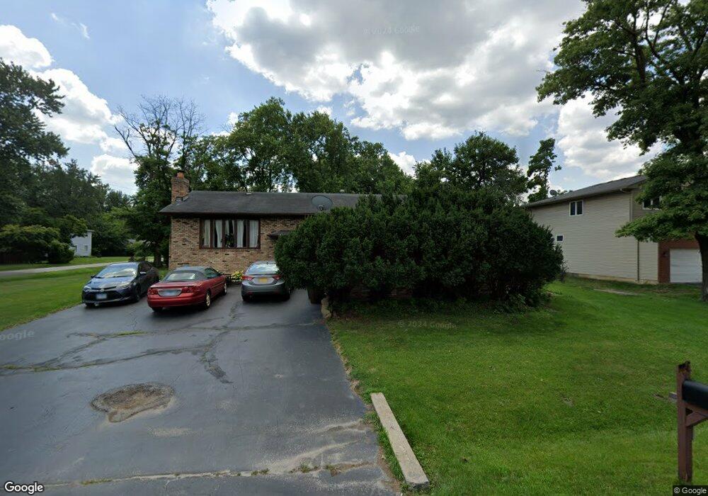
1503 172nd St Hazel Crest, IL 60429
Estimated Value: $176,000 - $276,000
3
Beds
1
Bath
1,526
Sq Ft
$139/Sq Ft
Est. Value
About This Home
This home is located at 1503 172nd St, Hazel Crest, IL 60429 and is currently estimated at $211,959, approximately $138 per square foot. 1503 172nd St is a home located in Cook County with nearby schools including Thornwood High School.
Ownership History
Date
Name
Owned For
Owner Type
Purchase Details
Closed on
Jun 28, 2010
Sold by
Lazuka William and Lazuka Margaret
Bought by
Smith Claude C
Current Estimated Value
Home Financials for this Owner
Home Financials are based on the most recent Mortgage that was taken out on this home.
Original Mortgage
$148,993
Outstanding Balance
$102,790
Interest Rate
5.5%
Mortgage Type
FHA
Estimated Equity
$109,169
Purchase Details
Closed on
Dec 21, 1998
Sold by
Lazuka Walter and Lazuka Richard
Bought by
Lazuka William and Lazuka Margaret
Home Financials for this Owner
Home Financials are based on the most recent Mortgage that was taken out on this home.
Original Mortgage
$83,000
Interest Rate
6.78%
Create a Home Valuation Report for This Property
The Home Valuation Report is an in-depth analysis detailing your home's value as well as a comparison with similar homes in the area
Home Values in the Area
Average Home Value in this Area
Purchase History
| Date | Buyer | Sale Price | Title Company |
|---|---|---|---|
| Smith Claude C | $151,000 | Git | |
| Lazuka William | -- | -- |
Source: Public Records
Mortgage History
| Date | Status | Borrower | Loan Amount |
|---|---|---|---|
| Open | Smith Claude C | $148,993 | |
| Previous Owner | Lazuka William | $83,000 |
Source: Public Records
Tax History Compared to Growth
Tax History
| Year | Tax Paid | Tax Assessment Tax Assessment Total Assessment is a certain percentage of the fair market value that is determined by local assessors to be the total taxable value of land and additions on the property. | Land | Improvement |
|---|---|---|---|---|
| 2024 | $4,877 | $11,972 | $2,678 | $9,294 |
| 2023 | $3,529 | $12,701 | $2,678 | $10,023 |
| 2022 | $3,529 | $8,844 | $2,380 | $6,464 |
| 2021 | $3,521 | $8,843 | $2,380 | $6,463 |
| 2020 | $3,517 | $8,843 | $2,380 | $6,463 |
| 2019 | $3,547 | $9,360 | $2,082 | $7,278 |
| 2018 | $3,504 | $9,360 | $2,082 | $7,278 |
| 2017 | $3,557 | $9,360 | $2,082 | $7,278 |
| 2016 | $2,589 | $7,111 | $1,785 | $5,326 |
| 2015 | $2,435 | $7,111 | $1,785 | $5,326 |
| 2014 | $2,418 | $7,111 | $1,785 | $5,326 |
| 2013 | $2,651 | $8,026 | $1,785 | $6,241 |
Source: Public Records
Map
Nearby Homes
- 1514 173rd St
- 17231 Laflin Ave
- 1411 172nd St
- 1409 172nd St
- 1321 172nd St
- 1314 174th St
- 17406 Throop St
- 17212 Hawthorne Dr
- 16929 Wood St
- 1903 171st St
- 1710 169th St
- 16919 Wood St
- 17222 Country Ln
- 1113 171st St
- 1848 172nd St
- 1100 173rd St
- 1913 170th St
- 1921 171st St
- 17046 Winchester Ave
- 17308 Forestway Dr
- 17204 Laflin Ave
- 1505 172nd St
- 1511 172nd St
- 1511 172nd St Unit 2nd floor rear
- 1427 172nd St
- 17213 Laflin Ave
- 1515 172nd St
- 17216 Laflin Ave
- 1519 172nd St
- 1421 172nd St
- 17219 Laflin Ave
- 1521 172nd St
- 1415 172nd St
- 1506 173rd St
- 1518 173rd St
- 1413 172nd St
- 1514 173rd St
- 1529 172nd St
- 1422 173rd St
- 1516 173rd St