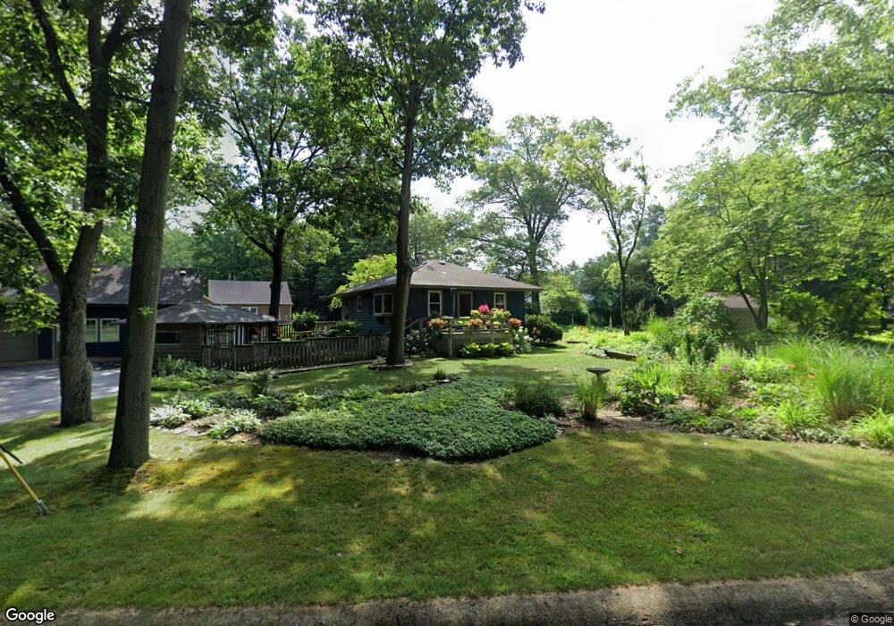
1503 Clark Dr Chesterton, IN 46304
Estimated Value: $269,527 - $343,000
3
Beds
2
Baths
916
Sq Ft
$326/Sq Ft
Est. Value
About This Home
This home is located at 1503 Clark Dr, Chesterton, IN 46304 and is currently estimated at $298,382, approximately $325 per square foot. 1503 Clark Dr is a home located in Porter County with nearby schools including Newton Yost Elementary School, Westchester Intermediate School, and Chesterton Middle School.
Ownership History
Date
Name
Owned For
Owner Type
Purchase Details
Closed on
Dec 9, 2022
Sold by
Meyer Steve
Bought by
Meyer Steven C and Renfus Paulette
Current Estimated Value
Purchase Details
Closed on
Feb 28, 2008
Sold by
Samuel W Wolford Living Trust
Bought by
Brandstetter Hugo E
Purchase Details
Closed on
Jun 24, 2005
Sold by
Volkman Karl and Volkman Patricia
Bought by
Meyer Steve
Home Financials for this Owner
Home Financials are based on the most recent Mortgage that was taken out on this home.
Original Mortgage
$110,500
Interest Rate
5.86%
Mortgage Type
Fannie Mae Freddie Mac
Create a Home Valuation Report for This Property
The Home Valuation Report is an in-depth analysis detailing your home's value as well as a comparison with similar homes in the area
Home Values in the Area
Average Home Value in this Area
Purchase History
| Date | Buyer | Sale Price | Title Company |
|---|---|---|---|
| Meyer Steven C | -- | -- | |
| Brandstetter Hugo E | $800 | None Available | |
| Meyer Steve | -- | Community Title Company |
Source: Public Records
Mortgage History
| Date | Status | Borrower | Loan Amount |
|---|---|---|---|
| Previous Owner | Meyer Steve | $110,500 |
Source: Public Records
Tax History Compared to Growth
Tax History
| Year | Tax Paid | Tax Assessment Tax Assessment Total Assessment is a certain percentage of the fair market value that is determined by local assessors to be the total taxable value of land and additions on the property. | Land | Improvement |
|---|---|---|---|---|
| 2024 | $2,723 | $238,600 | $48,200 | $190,400 |
| 2023 | $2,703 | $227,000 | $44,700 | $182,300 |
| 2022 | $2,541 | $216,700 | $44,700 | $172,000 |
| 2021 | $2,493 | $210,700 | $44,700 | $166,000 |
| 2020 | $2,490 | $210,400 | $39,000 | $171,400 |
| 2019 | $2,104 | $178,600 | $39,000 | $139,600 |
| 2018 | $2,044 | $167,200 | $39,000 | $128,200 |
| 2017 | $2,175 | $173,800 | $39,000 | $134,800 |
| 2016 | $2,034 | $180,800 | $48,300 | $132,500 |
| 2014 | $1,888 | $169,400 | $43,600 | $125,800 |
| 2013 | -- | $163,200 | $44,600 | $118,600 |
Source: Public Records
Map
Nearby Homes
- 20 Hjelm Rd
- 1239 Fox Hollow Dr
- 1040 Waverly Rd
- 317 W Oak Hill Rd
- 915 Quail Ridge Dr
- 808 Waverly Rd
- 860 Quail Ridge Dr
- 120 Pine Dr Unit A
- 1251 N Mineral Springs Rd
- 1248 Baton Ridge Dr
- 327 Indiana St
- 652 Bote Dr
- 650 Bote Dr
- 6 Linden Ln
- 334 Franklin St
- 0 Haglund Rd Unit NRA821369
- 647 N Calumet Rd
- 000 Pinneys Ct
- 131 N 18th St
- 520 Emerald Dr
- 1503 Clark Dr
- 1504 Cedar St
- 1520 Clark Dr
- 203 Knoelke Dr
- 203 Detroit Rd
- 1520 Clark Dr
- 201 Detroit Rd
- 206 Knoelke Dr
- 0 Detroit Rd
- 1530 Clark Dr
- 1505 Cedar St
- 1509 Cedar St
- 1560 Clark Dr
- 205 Dunes Forest Trail
- 300 Six Box Ln
- 209 Dunes Forest Trail
- 201 Knoelke Dr
- 251 W Us Highway 12
- 251 U S 12
- 251 W Us Highway 12