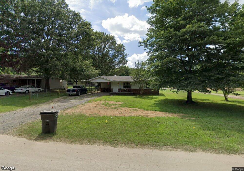
1503 Murrell Taylor Dr Jacksonville, AR 72076
Estimated Value: $97,724 - $202,000
--
Bed
1
Bath
1,405
Sq Ft
$105/Sq Ft
Est. Value
About This Home
This home is located at 1503 Murrell Taylor Dr, Jacksonville, AR 72076 and is currently estimated at $147,931, approximately $105 per square foot. 1503 Murrell Taylor Dr is a home located in Pulaski County with nearby schools including Murrell Taylor Elementary School, Jacksonville Middle School, and Jacksonville High School.
Ownership History
Date
Name
Owned For
Owner Type
Purchase Details
Closed on
Sep 17, 2019
Sold by
Bounds Lonnie
Bought by
Bradley Johnny and Bradley Deborah
Current Estimated Value
Home Financials for this Owner
Home Financials are based on the most recent Mortgage that was taken out on this home.
Original Mortgage
$22,113
Outstanding Balance
$19,369
Interest Rate
3.6%
Mortgage Type
Future Advance Clause Open End Mortgage
Estimated Equity
$128,562
Create a Home Valuation Report for This Property
The Home Valuation Report is an in-depth analysis detailing your home's value as well as a comparison with similar homes in the area
Home Values in the Area
Average Home Value in this Area
Purchase History
| Date | Buyer | Sale Price | Title Company |
|---|---|---|---|
| Bradley Johnny | $20,000 | United Abstract & Title Co |
Source: Public Records
Mortgage History
| Date | Status | Borrower | Loan Amount |
|---|---|---|---|
| Open | Bradley Johnny | $22,113 |
Source: Public Records
Tax History Compared to Growth
Tax History
| Year | Tax Paid | Tax Assessment Tax Assessment Total Assessment is a certain percentage of the fair market value that is determined by local assessors to be the total taxable value of land and additions on the property. | Land | Improvement |
|---|---|---|---|---|
| 2025 | $791 | $13,885 | $720 | $13,165 |
| 2024 | $594 | $13,885 | $720 | $13,165 |
| 2023 | $594 | $13,885 | $720 | $13,165 |
| 2022 | $621 | $13,885 | $720 | $13,165 |
| 2021 | $565 | $9,200 | $720 | $8,480 |
| 2020 | $565 | $9,200 | $720 | $8,480 |
| 2019 | $565 | $9,200 | $720 | $8,480 |
| 2018 | $215 | $9,200 | $720 | $8,480 |
| 2017 | $215 | $9,200 | $720 | $8,480 |
| 2016 | $356 | $11,500 | $2,800 | $8,700 |
| 2015 | $619 | $11,500 | $2,800 | $8,700 |
| 2014 | $619 | $11,500 | $2,800 | $8,700 |
Source: Public Records
Map
Nearby Homes
- 2209 Old Military Rd
- 2003 Old Military Rd
- 219 Lonsdale Cir
- 1404 Southeastern Ave
- 13 Michelle Ln Unit A
- 1305 Glenn Rd
- 813 Lehman Dr
- 720 Southeastern Ave
- 600 Sorrells Dr
- 5821 Arkansas 294
- 0 S J P Wright Loop Rd
- 1302 King St
- 404 S J P Wright Loop Rd
- 1401 Tamara Park
- 32 Ross Cir
- 26 Wright Cir
- 910 Ray Rd
- 214 Lone Oak Dr
- 419 Church St
- 1110 Wright St
- 1507 Murrell Taylor Dr
- 0 Old Military
- 2218 Old Military Rd
- 2210 Old Military Rd
- 3420 Arkansas Highway 294
- 2204 Old Military Rd
- 2209 Military Rd
- Military Rd
- 2414 Military Rd
- 2307 Old Military Rd
- 2121 Old Military Rd
- 1414 Murrell Taylor Dr
- 0 J P Wrigt Loop Rd Unit 16017653
- 101 Briarfield Cove
- 231 Lonsdale Cir
- 230 Lonsdale Cir
- 100 Briarfield Cove
- 2506 Old Military Rd
- 103 Briarfield Cove
- 0 Briarfield Cove