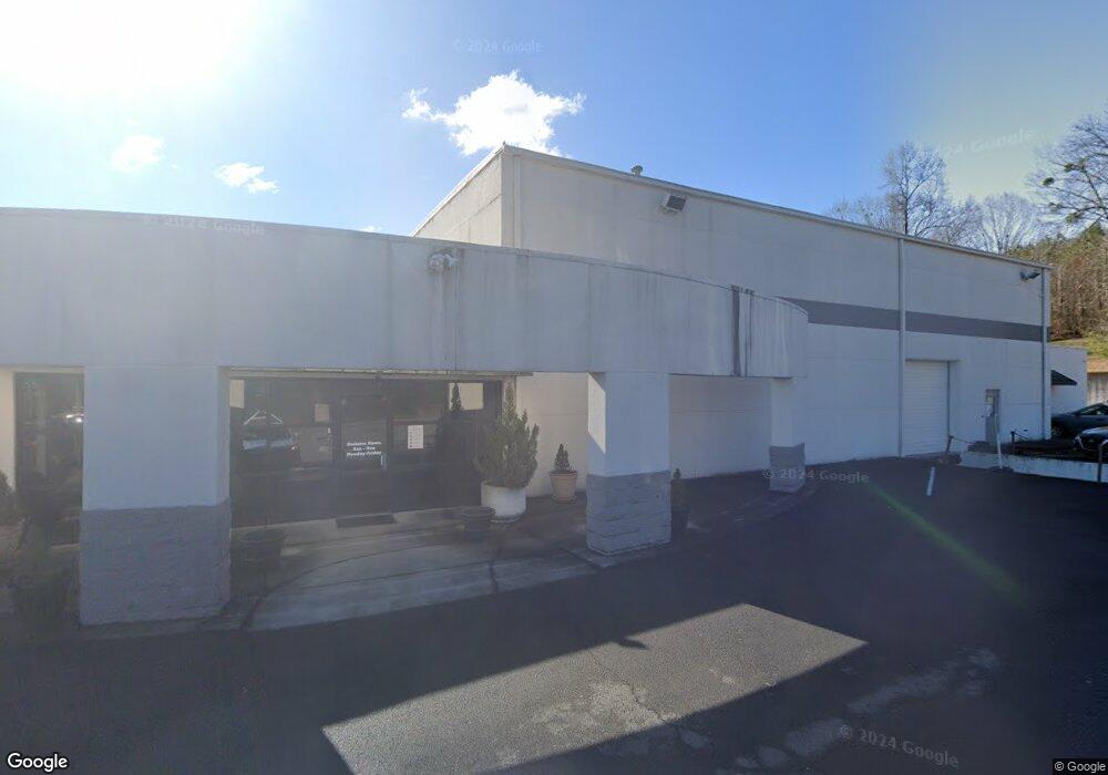
1503 N Tibbs Rd Dalton, GA 30720
Estimated Value: $1,385,431
--
Bed
--
Bath
17,864
Sq Ft
$78/Sq Ft
Est. Value
About This Home
This home is located at 1503 N Tibbs Rd, Dalton, GA 30720 and is currently estimated at $1,385,431, approximately $77 per square foot. 1503 N Tibbs Rd is a home located in Whitfield County with nearby schools including City Park Elementary School, Dalton Middle School, and Dalton High School.
Ownership History
Date
Name
Owned For
Owner Type
Purchase Details
Closed on
Apr 2, 2019
Sold by
Alliant Health Plans Inc
Bought by
Barrett Investment Enterprises Lllp
Current Estimated Value
Home Financials for this Owner
Home Financials are based on the most recent Mortgage that was taken out on this home.
Original Mortgage
$750,000
Interest Rate
4.4%
Mortgage Type
New Conventional
Purchase Details
Closed on
Mar 28, 2013
Sold by
Tufted Carpet Center Inc
Bought by
Alliant Health Plans Inc
Purchase Details
Closed on
Dec 13, 2011
Sold by
Caylor Arnold L
Create a Home Valuation Report for This Property
The Home Valuation Report is an in-depth analysis detailing your home's value as well as a comparison with similar homes in the area
Home Values in the Area
Average Home Value in this Area
Purchase History
| Date | Buyer | Sale Price | Title Company |
|---|---|---|---|
| Barrett Investment Enterprises Lllp | $750,000 | -- | |
| Alliant Health Plans Inc | $530,000 | -- | |
| -- | -- | -- |
Source: Public Records
Mortgage History
| Date | Status | Borrower | Loan Amount |
|---|---|---|---|
| Closed | Barrett Investment Enterprises Lllp | $750,000 |
Source: Public Records
Tax History Compared to Growth
Tax History
| Year | Tax Paid | Tax Assessment Tax Assessment Total Assessment is a certain percentage of the fair market value that is determined by local assessors to be the total taxable value of land and additions on the property. | Land | Improvement |
|---|---|---|---|---|
| 2024 | $20,483 | $640,297 | $252,000 | $388,297 |
| 2023 | $10,665 | $309,638 | $14,994 | $294,644 |
| 2022 | $10,237 | $297,206 | $14,994 | $282,212 |
| 2021 | $10,252 | $297,206 | $14,994 | $282,212 |
| 2020 | $10,649 | $297,206 | $14,994 | $282,212 |
| 2019 | $10,979 | $297,206 | $14,994 | $282,212 |
| 2018 | $8,291 | $221,087 | $14,994 | $206,093 |
| 2017 | $7,980 | $221,087 | $14,994 | $206,093 |
| 2016 | $7,701 | $221,087 | $14,994 | $206,093 |
| 2014 | $6,997 | $212,000 | $14,994 | $197,006 |
| 2013 | -- | $212,000 | $14,994 | $197,006 |
Source: Public Records
Map
Nearby Homes
- 2205 Seminole Way
- 2115 Kings Rd
- 2207 Mathis Ln
- 2219 Rocky Face Cir
- 1521 Ashton Woods Way
- 115 Cliffs Dr NE
- 114 Roslyn Ct
- 204 Roslyn Ct
- 1006 Willowdale Rd NW
- 1505 Anthony Ave
- Tract 2 Willowdale Rd Unit TRACT 2
- 1504 Arlington Dr NW
- 1295 Walston St
- 459 Hutcherson Dr
- 1202 Covie Dr
- 0 Battleline Dr Unit 120625
- 00 Hutcherson Dr
- Lot 5 Haig Mill Lake Rd
- 1929 Meadowbrook Cir NW
- 1961 Meadowbrook Cir NW
- 2216 Mountain Rd
- 2309 Mountain Rd
- L 225 Mountain Rd
- 3.08 Mountain Rd
- 2205 Old Ivy Way Unit 24
- 2205 Old Ivy Way Unit 23
- 2205 Old Ivy Way Unit 22
- 2205 Old Ivy Way Unit 21
- 2205 Old Ivy Way Unit 20
- 2205 Old Ivy Way Unit 19
- 2205 Old Ivy Way
- 2205 Seminole Way Unit 9
- 2205 Seminole Way Unit 10
- 2204 Old Ivy Way Unit 6
- 2204 Old Ivy Way Unit 5
- 2204 Old Ivy Way Unit 4
- 2204 Old Ivy Way Unit 3
- 2204 Old Ivy Way Unit 2
- 2204 Old Ivy Way Unit 1
- 2204 Old Ivy Way