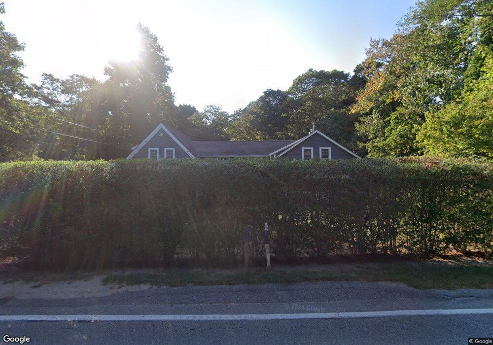
1503 Santuit Newtown Rd Cotuit, MA 02635
Cotuit NeighborhoodEstimated Value: $873,000 - $950,000
3
Beds
3
Baths
2,050
Sq Ft
$446/Sq Ft
Est. Value
About This Home
This home is located at 1503 Santuit Newtown Rd, Cotuit, MA 02635 and is currently estimated at $913,636, approximately $445 per square foot. 1503 Santuit Newtown Rd is a home located in Barnstable County with nearby schools including West Villages Elementary School, Barnstable United Elementary School, and Barnstable Intermediate School.
Ownership History
Date
Name
Owned For
Owner Type
Purchase Details
Closed on
Dec 30, 1998
Sold by
Rogers Evangeline Est
Bought by
Perry Shay A
Current Estimated Value
Home Financials for this Owner
Home Financials are based on the most recent Mortgage that was taken out on this home.
Original Mortgage
$88,350
Interest Rate
6.84%
Mortgage Type
Purchase Money Mortgage
Create a Home Valuation Report for This Property
The Home Valuation Report is an in-depth analysis detailing your home's value as well as a comparison with similar homes in the area
Home Values in the Area
Average Home Value in this Area
Purchase History
| Date | Buyer | Sale Price | Title Company |
|---|---|---|---|
| Perry Shay A | $93,000 | -- |
Source: Public Records
Mortgage History
| Date | Status | Borrower | Loan Amount |
|---|---|---|---|
| Open | Perry Shay A | $185,000 | |
| Closed | Perry Shay A | $88,350 |
Source: Public Records
Tax History Compared to Growth
Tax History
| Year | Tax Paid | Tax Assessment Tax Assessment Total Assessment is a certain percentage of the fair market value that is determined by local assessors to be the total taxable value of land and additions on the property. | Land | Improvement |
|---|---|---|---|---|
| 2025 | $7,173 | $859,000 | $199,400 | $659,600 |
| 2024 | $6,781 | $860,500 | $199,400 | $661,100 |
| 2023 | $6,295 | $752,100 | $183,400 | $568,700 |
| 2022 | $6,444 | $623,200 | $141,900 | $481,300 |
| 2021 | $0 | $548,600 | $141,900 | $406,700 |
| 2020 | $6,184 | $528,100 | $134,800 | $393,300 |
| 2019 | $5,800 | $488,200 | $134,800 | $353,400 |
| 2018 | $0 | $430,100 | $141,900 | $288,200 |
| 2017 | $5,029 | $426,200 | $141,900 | $284,300 |
| 2016 | $4,906 | $426,200 | $141,900 | $284,300 |
| 2015 | $5,098 | $442,500 | $139,000 | $303,500 |
Source: Public Records
Map
Nearby Homes
- 75 Bob White Run
- 170 Forest Hills Rd
- 783
- 4701 Falmouth Rd
- 95 Brittany Dr
- 9 Tarragon Cir
- 78 Brittany Dr
- 15 Geraldine Rd
- 226 Dunrobin Rd
- 220 Dunrobin Rd
- 6 Mayfair Ct
- 6 Mayfair Ct Unit 6
- 30 Windsor Point
- 4 Bishops Park
- 5 Darby Point Unit 5
- 70 Cape Dr Unit 14D
- 70 Cape Dr Unit 11D
- 70 Cape Dr Unit 11D
- 16 Spring Brook Ln
- 22 Stratford Ridge Unit 22
- 1493 Santuit Newtown Rd
- 1519 Santuit Newtown Rd
- 1519 Santuit-Newtown Rd
- 1500 Santuit Newtown Rd
- 1514 Santuit-Newtown Rd
- 1481 Santuit Newtown Rd
- 1514 Santuit Newtown Rd
- 1525 Santuit Newtown Rd
- 1500 Santuit-Newtown Rd
- 1525 Santuit-Newtown Rd
- 1478 Newtown
- 1478 Santuit Newtown Rd
- 1478 Santuit-Newtown Rd
- 5 Savinelli Rd
- 1469 Santuit Newtown Rd
- 1765 Santuit-Newtown Rd
- 0 Santuit-Newtown Rd
- 1900 Santuit-Newtown Rd
- 1535 Santuit Newtown Rd
- 1524 Santuit Newtown Rd