Estimated Value: $205,000 - $285,000
3
Beds
2
Baths
2,388
Sq Ft
$107/Sq Ft
Est. Value
About This Home
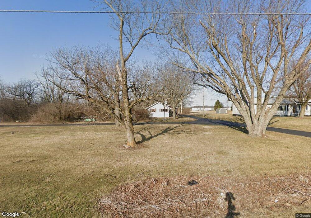
This home is located at 1503 State Route 235, Ada, OH 45810 and is currently estimated at $254,472, approximately $106 per square foot. 1503 State Route 235 is a home located in Hardin County with nearby schools including Ada Elementary School and Ada High School.
Ownership History
Date
Name
Owned For
Owner Type
Purchase Details
Closed on
Dec 29, 2021
Sold by
Cohoe Roger B and Estate Of Alfred E Cohoe
Bought by
Alexander Robert M and Alexander Shelleigh
Current Estimated Value
Home Financials for this Owner
Home Financials are based on the most recent Mortgage that was taken out on this home.
Original Mortgage
$195,000
Outstanding Balance
$178,905
Interest Rate
3.11%
Mortgage Type
New Conventional
Estimated Equity
$75,567
Create a Home Valuation Report for This Property
The Home Valuation Report is an in-depth analysis detailing your home's value as well as a comparison with similar homes in the area
Purchase History
| Date | Buyer | Sale Price | Title Company |
|---|---|---|---|
| Alexander Robert M | $225,500 | None Available |
Source: Public Records
Mortgage History
| Date | Status | Borrower | Loan Amount |
|---|---|---|---|
| Open | Alexander Robert M | $195,000 |
Source: Public Records
Tax History
| Year | Tax Paid | Tax Assessment Tax Assessment Total Assessment is a certain percentage of the fair market value that is determined by local assessors to be the total taxable value of land and additions on the property. | Land | Improvement |
|---|---|---|---|---|
| 2024 | $1,701 | $45,310 | $17,410 | $27,900 |
| 2023 | $1,689 | $45,310 | $17,410 | $27,900 |
| 2022 | $2,227 | $52,220 | $9,610 | $42,610 |
| 2021 | $2,046 | $52,220 | $9,610 | $42,610 |
| 2020 | $2,075 | $52,220 | $9,610 | $42,610 |
| 2019 | $1,816 | $47,240 | $9,400 | $37,840 |
| 2018 | $1,775 | $47,240 | $9,400 | $37,840 |
| 2017 | $875 | $47,240 | $9,400 | $37,840 |
| 2016 | $1,465 | $43,080 | $8,870 | $34,210 |
| 2015 | $1,799 | $43,080 | $8,870 | $34,210 |
| 2014 | $726 | $43,080 | $8,870 | $34,210 |
| 2013 | $1,522 | $43,340 | $8,870 | $34,470 |
Source: Public Records
Map
Nearby Homes
- 746 N Main St Unit 61
- 746 N Main St Unit 63
- 746 N Main St Unit 74
- 746 N Main St Unit 9
- 746 N Main St Unit 35
- 746 N Main St Unit 5
- 746 N Main St Unit 39
- 724 N Main St
- 629 N Main St
- 327 W North Ave
- 503 E North Ave
- 530 N Main St
- 442 Edwards St
- 420 N Simon St
- 210 N Gilbert St
- 211 S Main St
- 308-310 S Simon St
- 510 E Lehr Ave Unit 510R
- 314 E University Ave
- 710 S Main St
- 1503 Sr
- 1485 State Route 235
- 1463 State Route
- 1463 Sr
- 1463 State Route 235
- 1439 State Route 235
- 1439 Ohio 235
- 2888 Heritage Place
- 1566 State Route 235
- 1407 State Route 235
- 1421 State Route 235
- 1566 Sr
- 1404 State Route 235
- 1611 State Route 235
- 1321 St Route
- 1321 State Route 235
- 2828 Heritage Place
- 1458 State Route 235
- 1687 State Route 235
- 1285 State Route 235
Your Personal Tour Guide
Ask me questions while you tour the home.