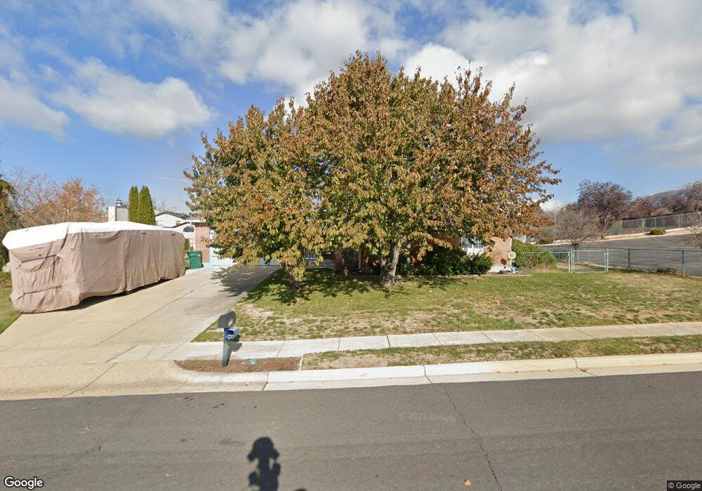
1503 Wintergreen Cir Layton, UT 84040
Estimated Value: $507,000 - $543,000
4
Beds
3
Baths
1,302
Sq Ft
$401/Sq Ft
Est. Value
About This Home
This home is located at 1503 Wintergreen Cir, Layton, UT 84040 and is currently estimated at $522,183, approximately $401 per square foot. 1503 Wintergreen Cir is a home located in Davis County with nearby schools including East Layton Elementary School, Central Davis Junior High School, and Layton High School.
Ownership History
Date
Name
Owned For
Owner Type
Purchase Details
Closed on
Feb 2, 2012
Sold by
Matthews A Rand and Matthews Marilyn S
Bought by
Matthews A Rand and Matthews Marilyns
Current Estimated Value
Home Financials for this Owner
Home Financials are based on the most recent Mortgage that was taken out on this home.
Original Mortgage
$72,000
Interest Rate
3.85%
Mortgage Type
New Conventional
Create a Home Valuation Report for This Property
The Home Valuation Report is an in-depth analysis detailing your home's value as well as a comparison with similar homes in the area
Home Values in the Area
Average Home Value in this Area
Purchase History
| Date | Buyer | Sale Price | Title Company |
|---|---|---|---|
| Matthews A Rand | -- | Mountain View Title |
Source: Public Records
Mortgage History
| Date | Status | Borrower | Loan Amount |
|---|---|---|---|
| Closed | Matthews A Rand | $72,000 |
Source: Public Records
Tax History
| Year | Tax Paid | Tax Assessment Tax Assessment Total Assessment is a certain percentage of the fair market value that is determined by local assessors to be the total taxable value of land and additions on the property. | Land | Improvement |
|---|---|---|---|---|
| 2025 | $2,599 | $272,800 | $129,202 | $143,598 |
| 2024 | $2,476 | $261,800 | $152,197 | $109,603 |
| 2023 | $2,447 | $456,000 | $203,420 | $252,580 |
| 2022 | $2,614 | $264,550 | $109,271 | $155,279 |
| 2021 | $2,378 | $359,000 | $166,551 | $192,449 |
| 2020 | $2,078 | $301,000 | $135,858 | $165,142 |
| 2019 | $2,045 | $290,000 | $121,146 | $168,854 |
| 2018 | $1,868 | $266,000 | $95,086 | $170,914 |
| 2016 | $1,606 | $117,975 | $49,884 | $68,091 |
| 2015 | $1,534 | $106,975 | $49,884 | $57,091 |
| 2014 | $1,494 | $106,508 | $49,884 | $56,624 |
| 2013 | -- | $97,852 | $22,748 | $75,104 |
Source: Public Records
Map
Nearby Homes
- 1545 E 975 N
- 1156 Cherrywood Dr
- 1148 N 1875 E Unit 2
- 1204 N 1875 E
- 1258 E North Lisa St
- 1503 E 530 N
- 1033 E 825 N
- 997 E 825 N
- 1048 E Cherry Ln
- 479 N 1375 E
- 1975 E 1425 N
- 1340 E Hollyhock Way
- 1629 E Juniper St
- 2877 E Gentile St Unit 2
- 1515 E Gentile St
- 1735 Hayes Dr
- 1476 Kays Creek Dr
- 2124 E Cherry Ln
- 2203 E 1200 N
- 1843 Hayes Dr
- 1495 Wintergreen Cir
- 1530 Pinewood Cir
- 1510 Pinewood Cir
- 1544 Pinewood Cir
- 1508 Wintergreen Cir
- 1490 Wintergreen Cir
- 1052 Ash Dr
- 1484 Pinewood Cir
- 1008 Ash Dr
- 1547 Pinewood Cir
- 1513 Pinewood Cir
- 1525 Pinewood Cir
- 1481 Pinewood Cir
- 1043 Ash Dr
- 1025 Ash Dr
- 1492 E Gordon Ave
- 1007 Ash Dr
- 1073 Ash Dr
- 1512 E Gordon Ave
- 1520 Balsam Dr
Your Personal Tour Guide
Ask me questions while you tour the home.