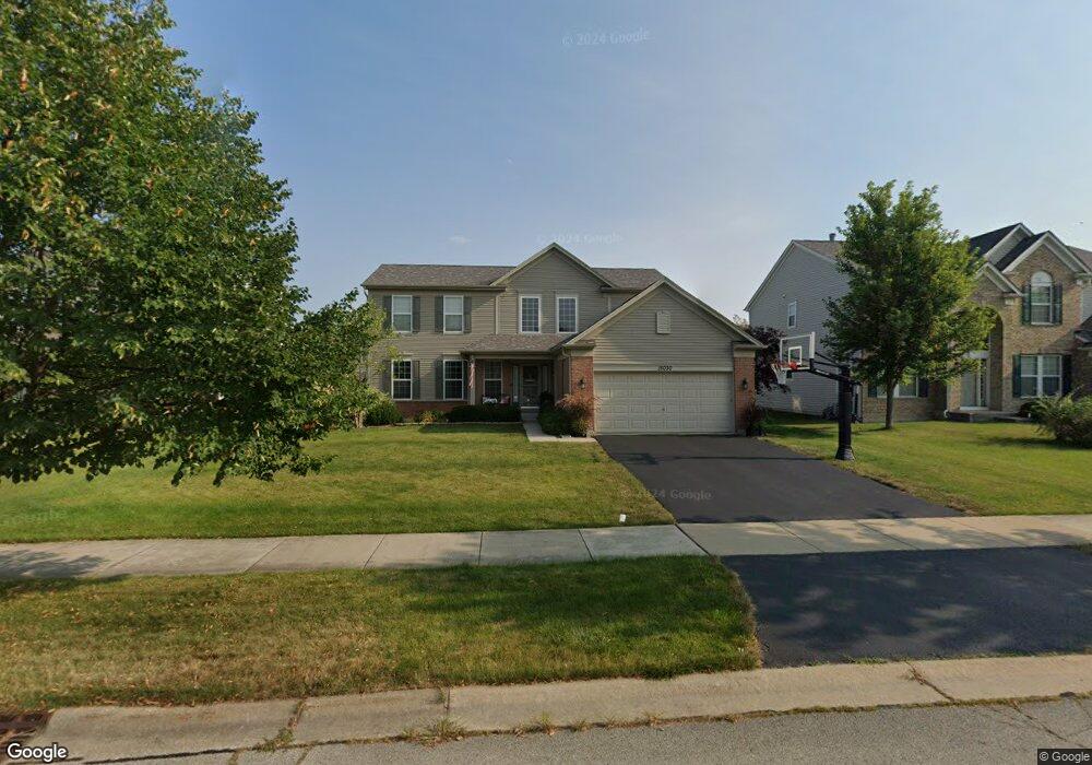
15030 Austin Dr Unit 1 Lockport, IL 60441
South Homer Glen NeighborhoodEstimated Value: $464,000 - $555,000
4
Beds
3
Baths
1,640
Sq Ft
$301/Sq Ft
Est. Value
About This Home
This home is located at 15030 Austin Dr Unit 1, Lockport, IL 60441 and is currently estimated at $494,112, approximately $301 per square foot. 15030 Austin Dr Unit 1 is a home located in Will County with nearby schools including William J. Butler, Hadley Middle School, and Homer Jr High School.
Ownership History
Date
Name
Owned For
Owner Type
Purchase Details
Closed on
Feb 7, 2011
Sold by
Federal Home Loan Mortgage Corporation
Bought by
Viste Jessica M and Viste Thomas L
Current Estimated Value
Home Financials for this Owner
Home Financials are based on the most recent Mortgage that was taken out on this home.
Original Mortgage
$187,920
Outstanding Balance
$128,589
Interest Rate
4.78%
Mortgage Type
New Conventional
Estimated Equity
$365,523
Purchase Details
Closed on
Aug 12, 2010
Sold by
Awwad Talal
Bought by
Federal Home Loan Mortgage Corp
Purchase Details
Closed on
May 5, 2010
Sold by
Awwad Talal
Bought by
Wells Fargo Bank Na
Purchase Details
Closed on
Mar 29, 2006
Sold by
Pulte Homes
Bought by
Awwad Talal
Home Financials for this Owner
Home Financials are based on the most recent Mortgage that was taken out on this home.
Original Mortgage
$275,500
Interest Rate
6.48%
Mortgage Type
Fannie Mae Freddie Mac
Create a Home Valuation Report for This Property
The Home Valuation Report is an in-depth analysis detailing your home's value as well as a comparison with similar homes in the area
Home Values in the Area
Average Home Value in this Area
Purchase History
| Date | Buyer | Sale Price | Title Company |
|---|---|---|---|
| Viste Jessica M | $234,900 | First American | |
| Federal Home Loan Mortgage Corp | $271,000 | None Available | |
| Wells Fargo Bank Na | $271,000 | None Available | |
| Awwad Talal | $290,000 | None Available |
Source: Public Records
Mortgage History
| Date | Status | Borrower | Loan Amount |
|---|---|---|---|
| Open | Viste Jessica M | $187,920 | |
| Previous Owner | Awwad Talal | $275,500 |
Source: Public Records
Tax History Compared to Growth
Tax History
| Year | Tax Paid | Tax Assessment Tax Assessment Total Assessment is a certain percentage of the fair market value that is determined by local assessors to be the total taxable value of land and additions on the property. | Land | Improvement |
|---|---|---|---|---|
| 2024 | $11,752 | $142,946 | $24,074 | $118,872 |
| 2023 | $11,752 | $129,574 | $21,822 | $107,752 |
| 2022 | $10,765 | $120,984 | $20,375 | $100,609 |
| 2021 | $10,276 | $114,623 | $19,304 | $95,319 |
| 2020 | $10,234 | $110,406 | $18,594 | $91,812 |
| 2019 | $9,934 | $106,210 | $17,887 | $88,323 |
| 2018 | $9,661 | $102,449 | $17,682 | $84,767 |
| 2017 | $9,493 | $99,581 | $17,187 | $82,394 |
| 2016 | $9,284 | $96,260 | $16,614 | $79,646 |
| 2015 | $9,029 | $92,646 | $15,990 | $76,656 |
| 2014 | $9,029 | $90,732 | $15,660 | $75,072 |
| 2013 | $9,029 | $90,732 | $15,660 | $75,072 |
Source: Public Records
Map
Nearby Homes
- 15053 Sagebrush Ln Unit 1254
- 16860 S Ivy Ln
- 16947 S Timber Dr
- 17355 Sprucewood Dr
- 16663 S Windsor Ln Unit T1644
- 17356 Sprucewood Dr
- 17358 Sprucewood Dr
- 17362 Sprucewood Dr
- 17430 Victoria Ln
- 0 W Bruce Rd
- 16601 S Windsor Ln Unit T1611
- 15456 Amelia Cir
- Essex Plan at Sadie Ridge
- Campbell Plan at Sadie Ridge - The Townes at Sadie
- Braeden Plan at Sadie Ridge - The Townes at Sadie
- Brighton Plan at Sadie Ridge - The Townes at Sadie
- Danbury II Plan at Sadie Ridge - The Townes at Sadie
- Hudson Plan at Sadie Ridge
- Dunbar Plan at Sadie Ridge
- Easton Plan at Sadie Ridge
- 15038 Austin Dr
- 15024 Austin Dr
- 15048 Austin Dr
- 15029 Albright Dr
- 15037 Albright Dr Unit 2
- 15016 Austin Dr
- 15025 Albright Ct
- 15035 Austin Dr
- 15025 Austin Dr
- 15045 Albright Dr
- 15017 Albright Ct
- 15043 Austin Dr
- 15021 Austin Dr
- 15054 Austin Dr
- 15008 Austin Dr
- 15053 Albright Dr
- 15051 Austin Dr
- 15011 Austin Dr
- 15060 W Austin Dr
- 15060 Austin Dr