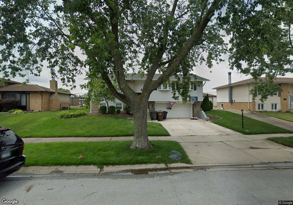
15030 Menard Ave Oak Forest, IL 60452
Estimated Value: $304,636 - $330,000
3
Beds
2
Baths
1,283
Sq Ft
$246/Sq Ft
Est. Value
About This Home
This home is located at 15030 Menard Ave, Oak Forest, IL 60452 and is currently estimated at $315,909, approximately $246 per square foot. 15030 Menard Ave is a home located in Cook County with nearby schools including Kerkstra Elementary School, Jack Hille Middle School, and Oak Forest High School.
Ownership History
Date
Name
Owned For
Owner Type
Purchase Details
Closed on
Dec 22, 2008
Sold by
Graniczny Harvey and Oslakovich Timothy
Bought by
Capron Anthony and Capron Megan
Current Estimated Value
Home Financials for this Owner
Home Financials are based on the most recent Mortgage that was taken out on this home.
Original Mortgage
$192,460
Outstanding Balance
$126,732
Interest Rate
6.06%
Mortgage Type
FHA
Estimated Equity
$189,177
Purchase Details
Closed on
Feb 26, 2003
Sold by
Oslakovich Peter S and Oslakovich Rita
Bought by
Oslakovich Peter S and Oslakovich Rita
Create a Home Valuation Report for This Property
The Home Valuation Report is an in-depth analysis detailing your home's value as well as a comparison with similar homes in the area
Home Values in the Area
Average Home Value in this Area
Purchase History
| Date | Buyer | Sale Price | Title Company |
|---|---|---|---|
| Capron Anthony | $195,000 | Pntn | |
| Oslakovich Peter S | -- | -- |
Source: Public Records
Mortgage History
| Date | Status | Borrower | Loan Amount |
|---|---|---|---|
| Open | Capron Anthony | $192,460 |
Source: Public Records
Tax History Compared to Growth
Tax History
| Year | Tax Paid | Tax Assessment Tax Assessment Total Assessment is a certain percentage of the fair market value that is determined by local assessors to be the total taxable value of land and additions on the property. | Land | Improvement |
|---|---|---|---|---|
| 2024 | $6,355 | $23,629 | $3,317 | $20,312 |
| 2023 | $5,361 | $23,629 | $3,317 | $20,312 |
| 2022 | $5,361 | $16,189 | $2,948 | $13,241 |
| 2021 | $5,265 | $16,189 | $2,948 | $13,241 |
| 2020 | $5,152 | $16,189 | $2,948 | $13,241 |
| 2019 | $4,572 | $14,780 | $2,763 | $12,017 |
| 2018 | $4,492 | $14,780 | $2,763 | $12,017 |
| 2017 | $4,531 | $14,780 | $2,763 | $12,017 |
| 2016 | $4,446 | $13,318 | $2,579 | $10,739 |
| 2015 | $4,289 | $13,318 | $2,579 | $10,739 |
| 2014 | $4,186 | $13,318 | $2,579 | $10,739 |
| 2013 | $3,722 | $13,292 | $2,579 | $10,713 |
Source: Public Records
Map
Nearby Homes
- 15143 Geoffrey Rd
- 14825 Parkside Ave
- 15251 Colina Ave
- 15001 Park Ave
- 15027 Park Ave
- 5756 Lancaster Dr
- 5568 Natalie Dr
- 15100 Crescent Green Dr
- 16207 Long Ave
- 5430 Grange Ave
- 5340 Crescent Ln Unit C
- 5341 Crescent Ln Unit D
- 14525 Walden Ct Unit PH4
- 15254 Arroyo Dr
- 14511 Central Ct Unit M2
- 14515 Central Ct Unit M3
- 14515 Central Ct Unit G3
- 6233 El Morro Ln
- 5735 Dover Rd
- 14947 Landings Ln
- 15036 Menard Ave
- 15024 Menard Ave
- 15040 Menard Ave
- 15018 Menard Ave
- 5775 150th Place
- 15051 Menard Ave
- 15012 Menard Ave
- 5778 Vine St
- 15048 Menard Ave
- 5778 150th Place
- 15006 Menard Ave
- 5761 150th Place
- 15011 Menard Ave
- 5781 Vine St
- 5762 Vine St
- 5775 Vine St
- 5762 150th Place
- 15000 Menard Ave
- 5775 150th St
- 5767 Vine St