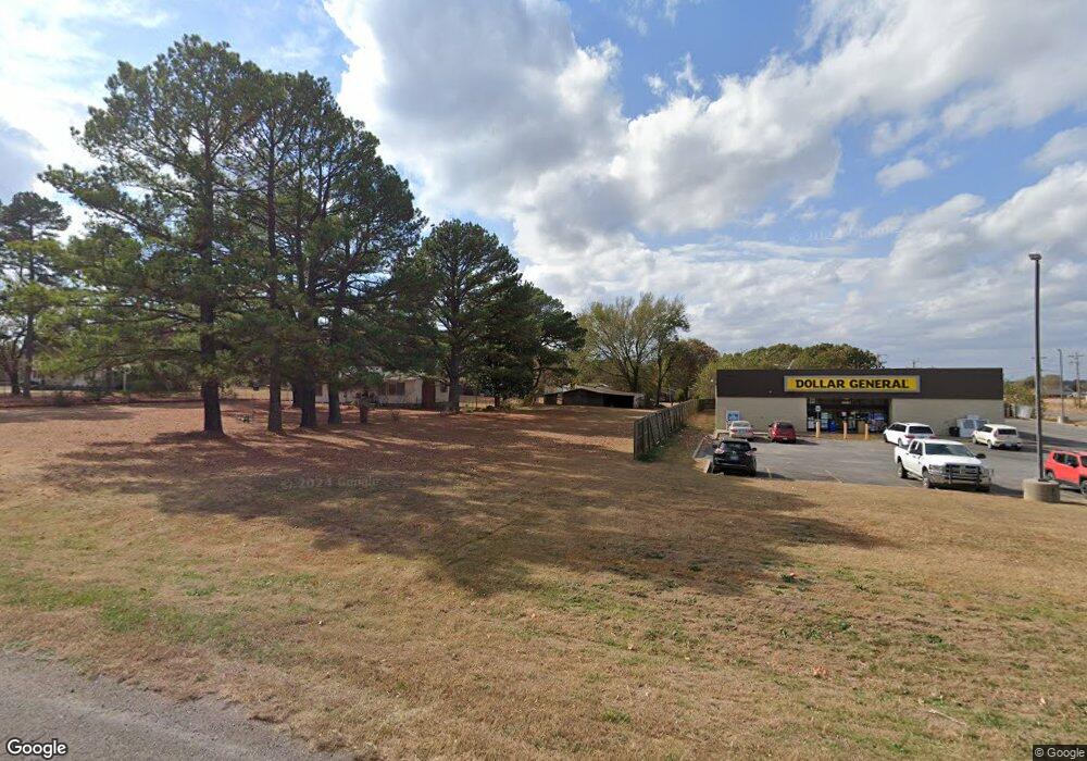
15031 Highway 82 Tahlequah, OK 74464
Estimated Value: $2,677,570
--
Bed
2
Baths
1,270
Sq Ft
$2,108/Sq Ft
Est. Value
About This Home
This home is located at 15031 Highway 82, Tahlequah, OK 74464 and is currently estimated at $2,677,570, approximately $2,108 per square foot. 15031 Highway 82 is a home located in Cherokee County with nearby schools including Cherokee Elementary School, Greenwood Elementary School, and Tahlequah Middle School.
Ownership History
Date
Name
Owned For
Owner Type
Purchase Details
Closed on
Dec 20, 2012
Sold by
Tahlequah Gsdg Llc
Bought by
Cole Dg Tahlequah Ok Llc
Current Estimated Value
Purchase Details
Closed on
May 31, 2007
Sold by
Saxon Regina D and Smith Larry J
Bought by
Butler Dustin
Home Financials for this Owner
Home Financials are based on the most recent Mortgage that was taken out on this home.
Original Mortgage
$78,982
Interest Rate
6.17%
Mortgage Type
Commercial
Create a Home Valuation Report for This Property
The Home Valuation Report is an in-depth analysis detailing your home's value as well as a comparison with similar homes in the area
Home Values in the Area
Average Home Value in this Area
Purchase History
| Date | Buyer | Sale Price | Title Company |
|---|---|---|---|
| Cole Dg Tahlequah Ok Llc | $1,183,000 | Trustmark Title | |
| Butler Dustin | $89,000 | None Available |
Source: Public Records
Mortgage History
| Date | Status | Borrower | Loan Amount |
|---|---|---|---|
| Previous Owner | Butler Dustin | $78,982 |
Source: Public Records
Tax History Compared to Growth
Tax History
| Year | Tax Paid | Tax Assessment Tax Assessment Total Assessment is a certain percentage of the fair market value that is determined by local assessors to be the total taxable value of land and additions on the property. | Land | Improvement |
|---|---|---|---|---|
| 2025 | $5,835 | $71,184 | $1,152 | $70,032 |
| 2024 | $5,835 | $70,274 | $1,152 | $69,122 |
| 2023 | $5,835 | $75,650 | $1,118 | $74,532 |
| 2022 | $5,368 | $75,650 | $1,118 | $74,532 |
| 2021 | $5,368 | $75,650 | $1,118 | $74,532 |
| 2020 | $5,211 | $73,431 | $1,090 | $72,341 |
| 2019 | $5,421 | $69,935 | $1,036 | $68,899 |
| 2018 | $5,200 | $66,605 | $761 | $65,844 |
| 2017 | $4,981 | $63,433 | $831 | $62,602 |
| 2016 | $4,776 | $60,412 | $902 | $59,510 |
| 2015 | $8,112 | $103,400 | $11,000 | $92,400 |
| 2014 | $8,147 | $103,400 | $11,000 | $92,400 |
Source: Public Records
Map
Nearby Homes
- 149 W Oak Hill Cir
- 2315 N Grand Ave
- 100 Career Tech
- 540 N Moccasin
- 501 Airport
- 401 Airport
- 520 N Moccasin
- 951 Main
- 500 N Moccasin
- TBD Blk 1 Lot 7 E Stelly Hollow Rd
- 100 Main
- 331 Main
- 900 Airport
- 601 Airport
- 221 Main
- 600 N Moccasin
- 200 Main
- TBD Blk 1 Lot 3 Stelly Hollow Rd
- 441 Main
- 18208 W Grandview Rd
- 15031 Hwy 82
- 15084 Highway 82
- 15092 Highway 82
- 15146 Highway 82
- 712 W Northlake Dr
- 735 W Northlake Dr
- 724 W Northlake Dr
- 15083 Highway 82
- 15188 Highway 82
- 15065 Highway 82
- 15180 State Highway 82
- 18712 E Beaverson Rd
- 0 Beaverson Rd Unit 1545263
- 0 Beaverson Rd Unit 1735044
- 197 W Woodard Rd
- 15180 Highway 82
- 127 W Woodard Rd
- 18668 E Shepherd Rd
- 15244 State Highway 82
- 15244 Highway 82