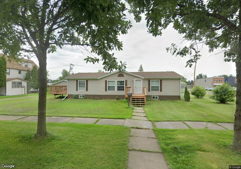
1504 101st Ave W Duluth, MN 55808
Gary-New Duluth NeighborhoodEstimated Value: $188,000 - $222,898
About This Home
This home is located at 1504 101st Ave W, Duluth, MN 55808 and is currently estimated at $205,475, approximately $146 per square foot. 1504 101st Ave W is a home located in St. Louis County with nearby schools including Stowe Elementary School, Lincoln Park Middle School, and Denfeld High School.
Ownership History
We collect this data history from publicly available records. To have your information removed, we recommend requesting removal directly through your county’s website.
Purchase Details
Home Financials for this Owner
Home Financials are based on the most recent Mortgage that was taken out on this home.Home Values in the Area
Average Home Value in this Area
Purchase History
We collect this data history from publicly available records. To have your information removed, we recommend requesting removal directly through your county’s website.
| Date | Buyer | Sale Price | Title Company |
|---|---|---|---|
| $110,000 | Pioneer Abs |
Mortgage History
We collect this data history from publicly available records. To have your information removed, we recommend requesting removal directly through your county’s website.
| Date | Status | Borrower | Loan Amount |
|---|---|---|---|
| Open | $82,500 |
Tax History
We collect this data history from publicly available records. To have your information removed, we recommend requesting removal directly through your county’s website.
| Year | Tax Paid | Tax Assessment Tax Assessment Total Assessment is a certain percentage of the fair market value that is determined by local assessors to be the total taxable value of land and additions on the property. | Land | Improvement |
|---|---|---|---|---|
| 2024 | $2,306 | $172,800 | $21,100 | $151,700 |
| 2023 | $2,008 | $169,000 | $20,700 | $148,300 |
| 2022 | $1,590 | $146,100 | $25,900 | $120,200 |
| 2021 | $1,514 | $119,000 | $21,100 | $97,900 |
| 2020 | $1,292 | $116,300 | $20,700 | $95,600 |
| 2019 | $1,382 | $101,500 | $18,000 | $83,500 |
| 2018 | $1,456 | $107,000 | $18,000 | $89,000 |
| 2017 | $1,458 | $117,500 | $26,400 | $91,100 |
| 2016 | $1,428 | $7,300 | $7,300 | $0 |
| 2015 | $1,451 | $90,800 | $20,400 | $70,400 |
| 2014 | $1,451 | $90,800 | $20,400 | $70,400 |
Map
- 1313 98th Ave W
- 1217 102nd Ave W
- 1xx E Gary St
- 1103 99th Ave W
- 827 99th Ave W
- 13xx 99th Ave W
- 2 Korda Dr
- 8 Holt Dr
- XXX Commonwealth Ave
- 29 Burger Dr
- 1257 91st Ave W
- 9105 Falcon St
- 9900 Hudson Blvd Unit 200
- 3241 Commonwealth Ave
- 1051 85th Ave W
- 1006 87th Ave W Unit uppe
- 1006 87th Ave W Unit Upper Unit
- 1033 85th Ave W
- TBD Arbor St
- XXX W 9th St
- 1512 101st Ave W
- 1514 101st Ave W
- 1514 1514 101st-Avenue-w
- 1428 101st Ave W
- 1516 101st Ave W
- 1505 101st Ave W
- 1513 101st Ave W
- 1427 101st Ave W
- 1515 101st Ave W
- 1422 101st Ave W
- 1508 102nd Ave W
- 1508 102nd Ave W
- 1431 Commonwealth Ave
- 1421 101st Ave W
- 1421 1421 101st Ave W
- 1518 Commonwealth Ave
- 1419 101st Ave W
- 1416 101st Ave W
- 1430 Commonwealth Ave
- 1417 101st Ave W
Ask me questions while you tour the home.