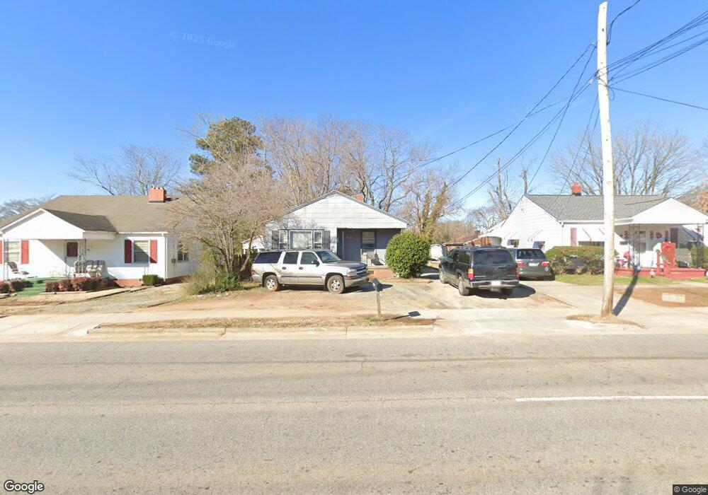
1504 Brentwood St High Point, NC 27260
Greater High Point NeighborhoodEstimated Value: $128,000 - $148,000
3
Beds
2
Baths
1,079
Sq Ft
$130/Sq Ft
Est. Value
About This Home
This home is located at 1504 Brentwood St, High Point, NC 27260 and is currently estimated at $140,252, approximately $129 per square foot. 1504 Brentwood St is a home located in Guilford County with nearby schools including Fairview Elementary School, Ferndale Middle School, and High Point Central High School.
Ownership History
Date
Name
Owned For
Owner Type
Purchase Details
Closed on
Mar 25, 2003
Sold by
Wolmark Israel and Wolmark Moriah
Bought by
Shavitz Saul N and Shavitz Margerie M
Current Estimated Value
Home Financials for this Owner
Home Financials are based on the most recent Mortgage that was taken out on this home.
Original Mortgage
$32,500
Interest Rate
5.82%
Mortgage Type
Seller Take Back
Create a Home Valuation Report for This Property
The Home Valuation Report is an in-depth analysis detailing your home's value as well as a comparison with similar homes in the area
Home Values in the Area
Average Home Value in this Area
Purchase History
| Date | Buyer | Sale Price | Title Company |
|---|---|---|---|
| Shavitz Saul N | $35,000 | -- |
Source: Public Records
Mortgage History
| Date | Status | Borrower | Loan Amount |
|---|---|---|---|
| Closed | Shavitz Saul N | $32,500 |
Source: Public Records
Tax History Compared to Growth
Tax History
| Year | Tax Paid | Tax Assessment Tax Assessment Total Assessment is a certain percentage of the fair market value that is determined by local assessors to be the total taxable value of land and additions on the property. | Land | Improvement |
|---|---|---|---|---|
| 2025 | $639 | $46,400 | $7,000 | $39,400 |
| 2024 | $639 | $46,400 | $7,000 | $39,400 |
| 2023 | $639 | $46,400 | $7,000 | $39,400 |
| 2022 | $625 | $46,400 | $7,000 | $39,400 |
| 2021 | $449 | $32,600 | $6,000 | $26,600 |
| 2020 | $449 | $32,600 | $6,000 | $26,600 |
| 2019 | $449 | $32,600 | $0 | $0 |
| 2018 | $447 | $32,600 | $0 | $0 |
| 2017 | $449 | $32,600 | $0 | $0 |
| 2016 | $496 | $35,400 | $0 | $0 |
| 2015 | $499 | $35,400 | $0 | $0 |
| 2014 | $508 | $35,400 | $0 | $0 |
Source: Public Records
Map
Nearby Homes
- 1907 Apex Place
- 1222 Carter St
- 1605 Mossbrook Cir
- 650 Wesley Dr
- 640 Wesley Dr
- 1208 Anderson Place
- 511 Hines St
- 507 Hines St
- 430 New St
- 2317 Purdy Ave
- 901 Richland St
- 1423 E Commerce Ave
- 811 Worth St
- 1908 Leonard Ave
- 1010 Grace St
- 1035 Asheboro St
- 504 Meredith St
- 909 Sharon St
- 413 Cable St
- 518 Whiteoak St
- 1506 Brentwood St
- 1502 Brentwood St
- 1500 Brentwood St
- 2112 Lowe Ave
- 1512 Brentwood St
- 2110 Lowe Ave
- 2115 Friends Ave
- 1424 Brentwood St
- 1507 Brentwood St
- 2113 Friends Ave
- 1503 Brentwood St
- 2108 Lowe Ave
- 1509 Brentwood St
- 1501 Brentwood St
- 1422 Brentwood St
- 2111 Friends Ave
- 2113 Lowe Ave
- 1511 Brentwood St
- 2106 Lowe Ave
- 1425 Brentwood St