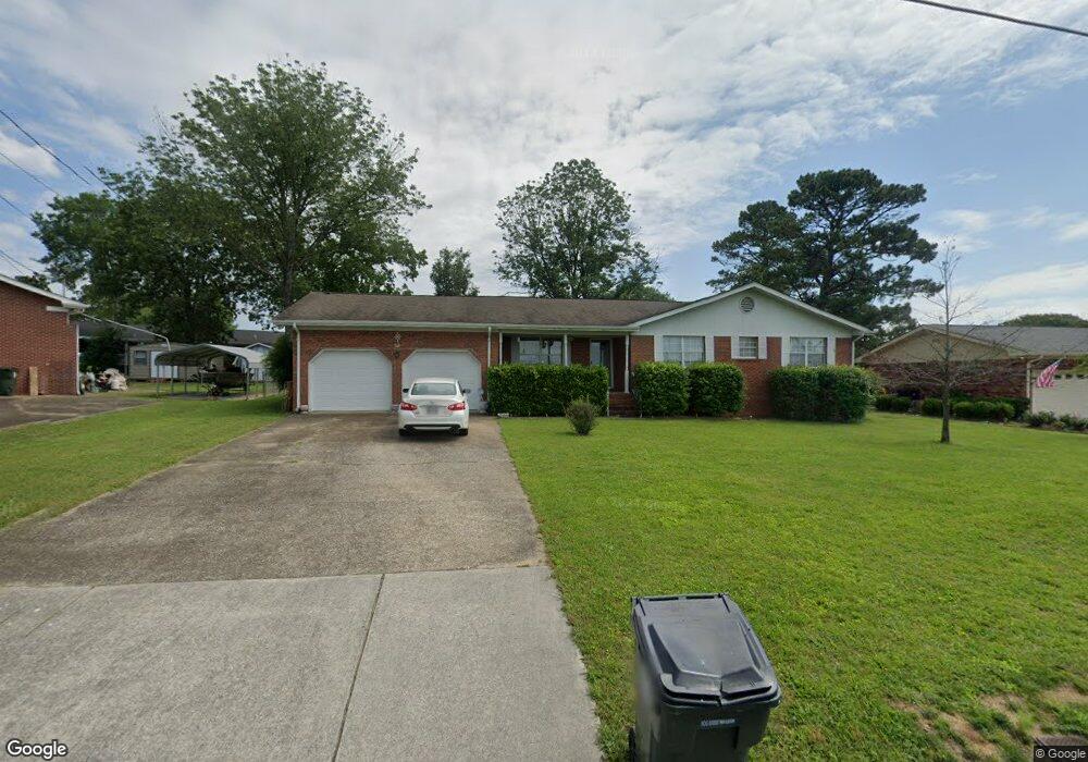
1504 Cannon Dr Fort Oglethorpe, GA 30742
Estimated Value: $251,130 - $283,000
3
Beds
2
Baths
1,361
Sq Ft
$196/Sq Ft
Est. Value
About This Home
This home is located at 1504 Cannon Dr, Fort Oglethorpe, GA 30742 and is currently estimated at $267,033, approximately $196 per square foot. 1504 Cannon Dr is a home located in Catoosa County with nearby schools including Battlefield Primary School, Battlefield Elementary School, and Lakeview Middle School.
Ownership History
Date
Name
Owned For
Owner Type
Purchase Details
Closed on
Aug 30, 2007
Sold by
Lancaster William J
Bought by
Brock Phyllis J
Current Estimated Value
Home Financials for this Owner
Home Financials are based on the most recent Mortgage that was taken out on this home.
Original Mortgage
$99,450
Outstanding Balance
$63,126
Interest Rate
6.62%
Mortgage Type
New Conventional
Estimated Equity
$203,907
Purchase Details
Closed on
Jan 5, 1994
Bought by
Lancaster William J
Create a Home Valuation Report for This Property
The Home Valuation Report is an in-depth analysis detailing your home's value as well as a comparison with similar homes in the area
Home Values in the Area
Average Home Value in this Area
Purchase History
| Date | Buyer | Sale Price | Title Company |
|---|---|---|---|
| Brock Phyllis J | $124,320 | -- | |
| Lancaster William J | $76,500 | -- |
Source: Public Records
Mortgage History
| Date | Status | Borrower | Loan Amount |
|---|---|---|---|
| Open | Brock Phyllis J | $99,450 |
Source: Public Records
Tax History Compared to Growth
Tax History
| Year | Tax Paid | Tax Assessment Tax Assessment Total Assessment is a certain percentage of the fair market value that is determined by local assessors to be the total taxable value of land and additions on the property. | Land | Improvement |
|---|---|---|---|---|
| 2024 | $1,986 | $85,838 | $9,840 | $75,998 |
| 2023 | $1,606 | $67,946 | $9,840 | $58,106 |
| 2022 | $1,171 | $52,468 | $9,840 | $42,628 |
| 2021 | $1,097 | $52,468 | $9,840 | $42,628 |
| 2020 | $1,387 | $46,990 | $9,840 | $37,150 |
| 2019 | $1,064 | $46,990 | $9,840 | $37,150 |
| 2018 | $1,473 | $46,990 | $9,840 | $37,150 |
| 2017 | $1,100 | $46,277 | $9,840 | $36,437 |
| 2016 | $1,077 | $43,882 | $9,840 | $34,042 |
| 2015 | -- | $43,882 | $9,840 | $34,042 |
| 2014 | -- | $43,882 | $9,840 | $34,042 |
| 2013 | -- | $43,881 | $9,840 | $34,041 |
Source: Public Records
Map
Nearby Homes
- 1305 Park Forrest Dr
- 6 Rocky Ford Rd
- 129 Cedar Grove Ln
- 325 Mockingbird Ln
- 0 Battlefield Pkwy Unit 129870
- 64 Stovall St
- 300 Dogwood Ln
- 301 Dogwood Ln
- 124 Colony Cir
- 351 Franklin Cir
- 17 Southshore Dr
- 99 Battlewood Dr
- 183 McDonald Dr
- 52 S Glade Rd
- 84 Elaine Cir
- 59 Gattis Dr
- 2 Janet Ln
- 2237 Cloud Springs Rd
- 614 Lakeshore Cove Dr Unit 19
- 614 Lakeshore Cove Dr
- 1508 Cannon Dr
- 1502 Cannon Dr
- 1505 Wildwood Trail
- 1501 Wildwood Trail
- 1509 Wildwood Trail
- 0 Wildwood Trail Unit 7376248
- 1501 Cannon Dr
- 1507 Cannon Dr
- 1511 Wildwood Trail
- 1511 Cannon Dr
- 1506 Wildwood Trail
- 18 Hickory Ln
- 1513 Wildwood Trail
- 1508 Wildwood Trail
- 1504 Wildwood Trail
- 1513 Cannon Dr
- 1600 Cannon Dr
- 1510 Wildwood Tr
- 1304 Park Forrest Dr
- 1510 Wildwood Trail