1504 Drift Rd Westport, MA 02790
Westport Point NeighborhoodEstimated Value: $1,204,000 - $2,575,000
5
Beds
3
Baths
2,408
Sq Ft
$752/Sq Ft
Est. Value
About This Home
This home is located at 1504 Drift Rd, Westport, MA 02790 and is currently estimated at $1,810,042, approximately $751 per square foot. 1504 Drift Rd is a home located in Bristol County with nearby schools including Alice A. Macomber Primary School, Westport Elementary School, and Westport Middle-High School.
Ownership History
Date
Name
Owned For
Owner Type
Purchase Details
Closed on
Jun 4, 2019
Sold by
Bauman Bruce A and Selden Denise D
Bought by
Bruce A Bauman T
Current Estimated Value
Purchase Details
Closed on
May 15, 2006
Sold by
Bauman Ft and Bauman Bruce A
Bought by
Bauman Bruce A and Selden Denise D
Purchase Details
Closed on
Oct 7, 2003
Sold by
1504 Drift Road Rt and Kaplan Randy J
Bought by
Bauman Bruce A and Selden Denise D
Create a Home Valuation Report for This Property
The Home Valuation Report is an in-depth analysis detailing your home's value as well as a comparison with similar homes in the area
Home Values in the Area
Average Home Value in this Area
Purchase History
We collect this data history from publicly available records. To have your information removed, we recommend requesting removal directly through your county’s website.
| Date | Buyer | Sale Price | Title Company |
|---|---|---|---|
| Bruce A Bauman T | -- | -- | |
| Bauman Bruce A | -- | -- | |
| Bauman Bruce A | $1,700,000 | -- |
Source: Public Records
Mortgage History
We collect this data history from publicly available records. To have your information removed, we recommend requesting removal directly through your county’s website.
| Date | Status | Borrower | Loan Amount |
|---|---|---|---|
| Previous Owner | Bauman Bruce A | $428,500 | |
| Previous Owner | Bauman Bruce A | $225,000 |
Source: Public Records
Tax History
| Year | Tax Paid | Tax Assessment Tax Assessment Total Assessment is a certain percentage of the fair market value that is determined by local assessors to be the total taxable value of land and additions on the property. | Land | Improvement |
|---|---|---|---|---|
| 2025 | $11,282 | $1,514,400 | $1,121,500 | $392,900 |
| 2024 | $10,708 | $1,385,300 | $1,000,500 | $384,800 |
| 2023 | $10,652 | $1,305,400 | $962,700 | $342,700 |
| 2022 | $9,281 | $1,288,800 | $962,700 | $326,100 |
| 2021 | $9,281 | $1,076,700 | $772,000 | $304,700 |
| 2020 | $8,877 | $1,053,000 | $748,300 | $304,700 |
| 2019 | $9,669 | $1,169,200 | $850,700 | $318,500 |
| 2018 | $10,512 | $1,286,700 | $884,400 | $402,300 |
| 2017 | $10,375 | $1,301,800 | $884,400 | $417,400 |
| 2016 | $10,025 | $1,267,400 | $859,800 | $407,600 |
| 2015 | $10,831 | $1,365,800 | $982,600 | $383,200 |
Source: Public Records
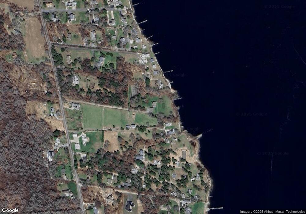
Map
Nearby Homes
- 7 Olin Howland Way
- 2 Olin Howland Way
- 7 Taber Ln
- 225 Hixbridge Rd
- 408 Hixbridge Rd
- 920 Drift Rd
- 332 Division Rd
- 922 Drift Rd
- 1 Puddingstone Cir
- 129 Cross Rd
- 19 Seabury Ln
- 612 Drift Rd
- 94 Howland Rd
- 98 Horseneck Rd
- 22 3rd St
- 272 Pine Hill Rd
- 51 Holly Ln
- 16 Wadsworth Ln
- 6 Fairway Dr
- 238/242 E Beach Rd
- 1516 Drift Rd
- 1518A Drift Rd
- 1518 Drift Rd Unit WINTER RENT
- 1518 Drift Rd Unit WINTER
- 6 Beach Rd
- 8 Beach Rd
- 4 Beach Rd
- 1478 Drift Rd
- 1478 Drift Rd
- 1478 Drift Rd Unit C
- 1478 Drift Rd Unit D
- 1478 Drift Rd Unit E
- 1478 Drift Rd
- 1478 Drift Rd Unit YEAR/WINTER
- 1478 Drift Rd Unit SUMMER WEEK
- 1478 Drift Rd Unit WINTER RENT
- 1520 Drift Rd (Lot 41a Parcel 47)
- 2-2A Beach Rd
- 2 Beach Rd
- 1 Beach Rd
Your Personal Tour Guide
Ask me questions while you tour the home.